
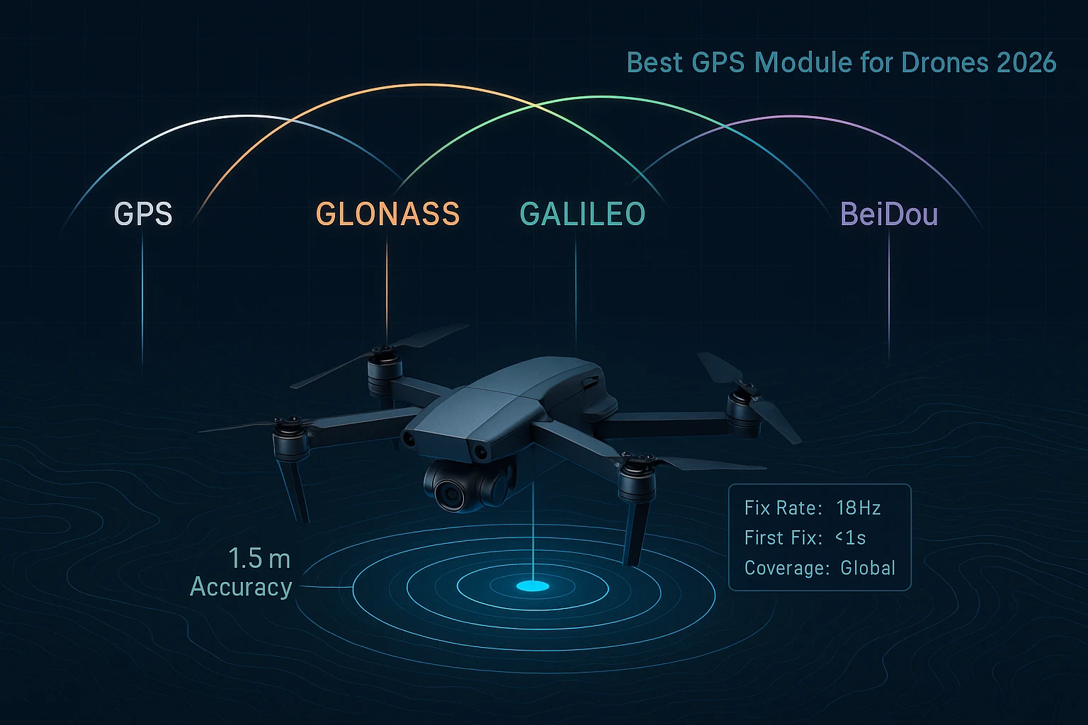
Best GPS Module for Drones 2026: Why MultiNav Pro+ Leads the Field
The Best GPS Module for Drones 2026 Is Not What You Expect
If you have been searching for the best GPS module for drones in 2026, you already know the frustration. Most modules on the market force you into a painful compromise: either you accept mediocre accuracy and slow update rates from cheap commodity hardware, or you pay enterprise prices that belong in a military procurement catalog. Neither option makes sense for serious drone builders, FPV pilots, robotics engineers, or IoT developers who need real performance at a real-world price.
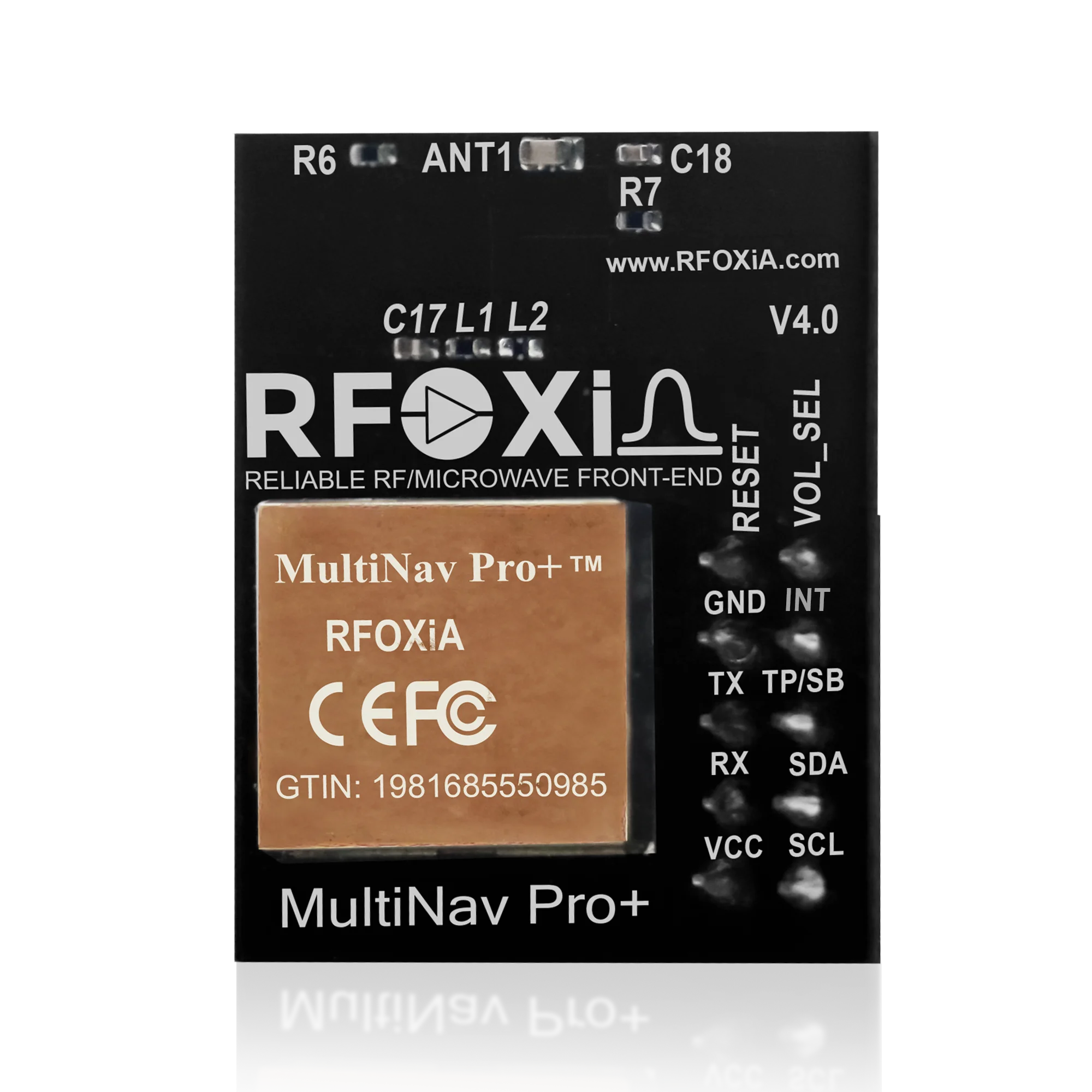
The RFOXiA MultiNav Pro+™ GNSS Module was engineered to eliminate that compromise entirely. With a verified 1.5-meter accuracy, an 18Hz fix rate, first fix in under one second, and simultaneous support for GPS, Galileo, GLONASS, and BeiDou satellite constellations — all in a 26mm × 22mm footprint — this module delivers navigation performance that competes directly with solutions costing five to ten times as much.
This review covers everything you need to know: the hardware architecture, real-world performance characteristics, software ecosystem, integration options, and why the MultiNav Pro+ has earned its position as the go-to precision GNSS module for drone builders and embedded developers heading into 2026.
Why Precision GNSS Matters More Than Ever for Drone Applications
Drones have evolved dramatically. What was once a hobbyist toy carrying a camera is now a precision instrument used in surveying, agriculture, search and rescue, infrastructure inspection, and autonomous delivery. In every one of these professional applications, location accuracy is not a nice-to-have — it is the foundation on which everything else is built.
Consider what happens when your GPS module delivers 5-meter or 10-meter accuracy at a slow 1Hz or 5Hz update rate. At drone flight speeds of 10–15 meters per second, a module updating once per second means your navigation system is working from position data that is already 10–15 meters stale. The drone's actual position and its reported position are completely disconnected. Waypoint missions drift. Return-to-home sequences become unreliable. Precision landing fails.
Now consider the MultiNav Pro+: 1.5-meter accuracy combined with an 18Hz fix rate. At the same flight speed, your navigation system receives a fresh, accurate position update every 55 milliseconds. The gap between reported and actual position shrinks to under one meter in nearly all conditions. Waypoint accuracy becomes real. Autonomous missions become dependable. Precision landing works.
This is why update rate matters just as much as accuracy — and why the MultiNav Pro+ was designed to deliver both simultaneously.
Core Hardware: The u-blox MIA-M10Q Foundation
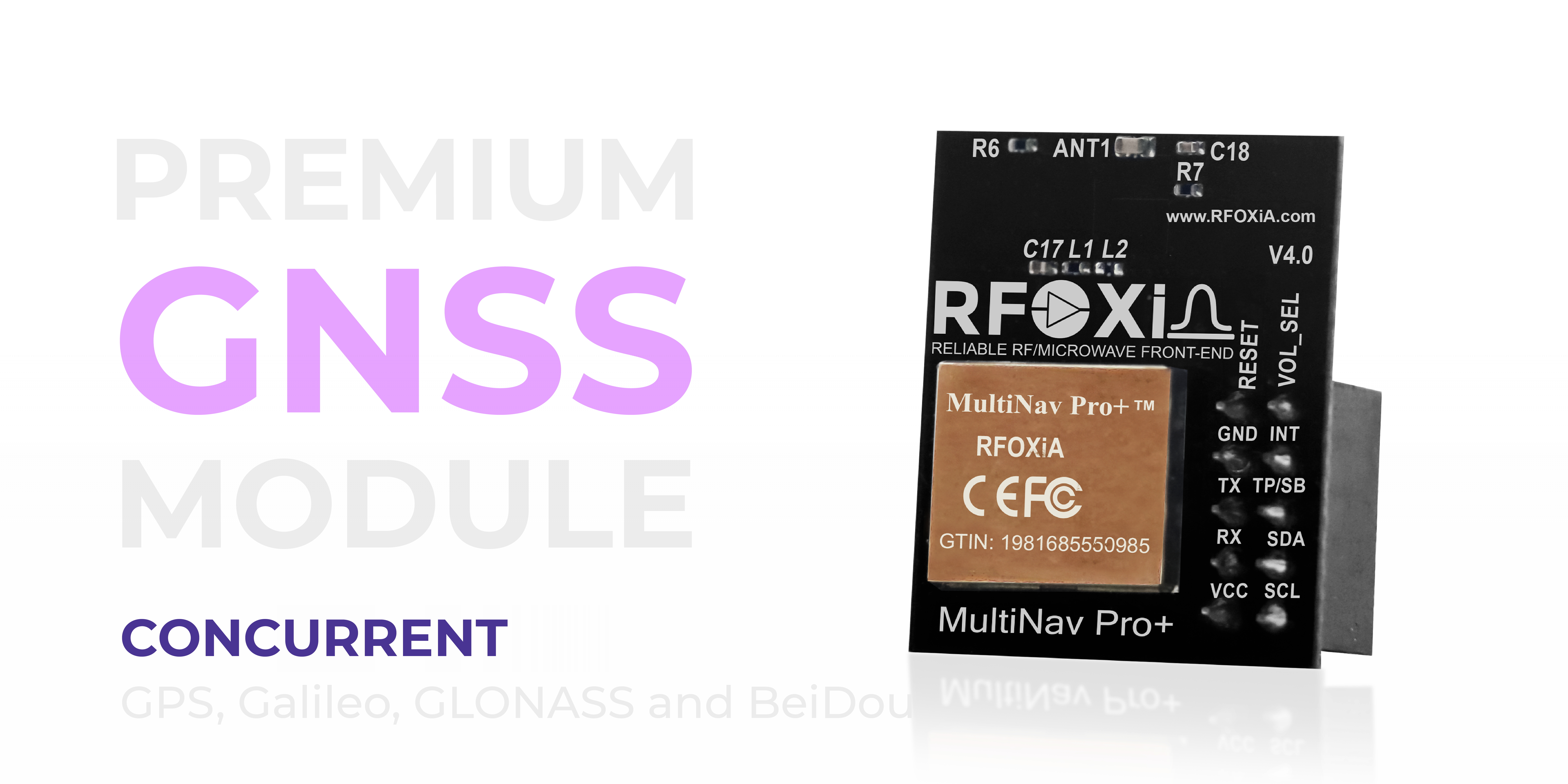
At the heart of the MultiNav Pro+ is the u-blox MIA-M10Q — the latest generation GNSS receiver from the company that has defined precision positioning hardware for decades. This is not a generic clone chipset or an undocumented Chinese receiver. The MIA-M10Q is a professionally validated, globally trusted GNSS silicon platform used in aerospace, automotive, and industrial applications worldwide.
What the MIA-M10Q brings to the MultiNav Pro+ specifically:
Concurrent multi-constellation tracking. The module simultaneously receives signals from all four major GNSS constellations — GPS (USA), Galileo (EU), GLONASS (Russia), and BeiDou (China). This is critical. In dense urban environments, under partial sky obstruction, in mountainous terrain, or at high northern or southern latitudes, single-constellation receivers lose fix reliability dramatically. By tracking all four constellations simultaneously, the MultiNav Pro+ maintains reliable fix even when individual constellation visibility is limited.
Advanced signal processing architecture. The MIA-M10Q implements sophisticated multipath mitigation and interference rejection at the silicon level. Combined with RFOXiA's proprietary RF/microwave microstrip filter technology integrated into the module PCB design, the result is exceptional signal clarity even in electromagnetically noisy environments — exactly what you find inside a drone electronics bay.
Ultra-low power consumption. The multi-constellation system operates at just 25–30mA, making it viable for battery-powered drone applications where power budget is a primary constraint.
Accuracy and Fix Rate: The Numbers That Actually Matter
Let's be specific about what these specifications mean in practice.
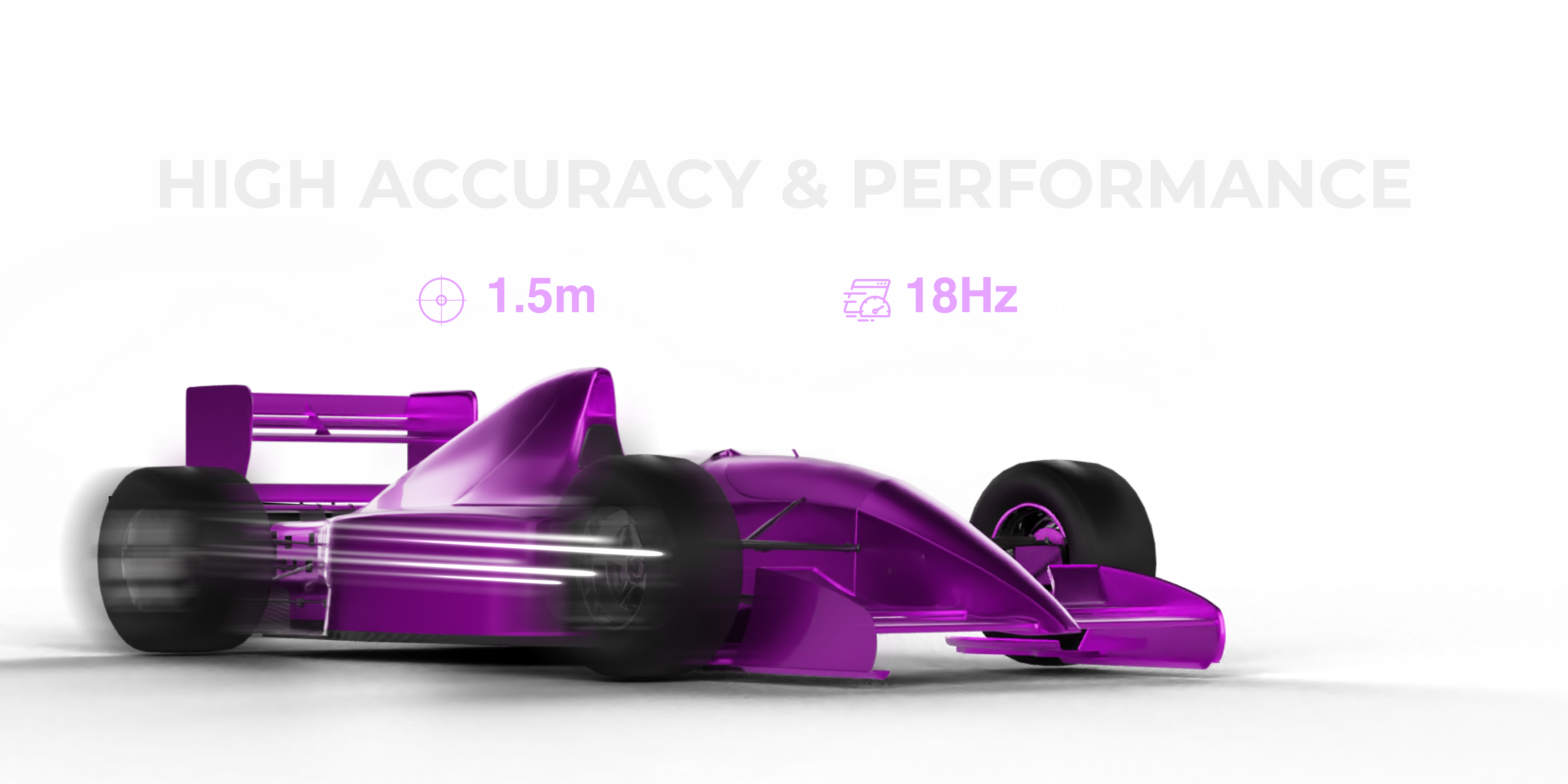
1.5-meter CEP accuracy. CEP (Circular Error Probable) means that 50% of position fixes fall within 1.5 meters of the true position. In open-sky conditions with four or more satellite constellations tracked, real-world performance frequently exceeds this figure, with many users reporting sub-meter accuracy in favorable environments. For drone mapping, inspection, and precision landing applications, this is the accuracy tier that enables professional results.
18Hz fix rate. Most commodity GNSS modules update at 1Hz or at best 5Hz. Some higher-end options reach 10Hz. The MultiNav Pro+ delivers 18Hz — a fix every 55 milliseconds. For fast-moving platforms like racing drones, fixed-wing aircraft, or any vehicle moving at speed, this update rate is transformative. Navigation loops that would otherwise be running on stale data stay synchronized with actual vehicle position.
First fix in 1 second. Hot start acquisition in under one second means your drone is ready to fly almost immediately after power-on — no waiting 30 seconds or two minutes for satellite acquisition like older generation receivers. Cold start performance is also excellent thanks to the MIA-M10Q's almanac retention and assisted GNSS capabilities.
These three numbers together — 1.5m, 18Hz, 1 second — define what separates professional GNSS from commodity positioning hardware.
Size and Power: Designed for Integration
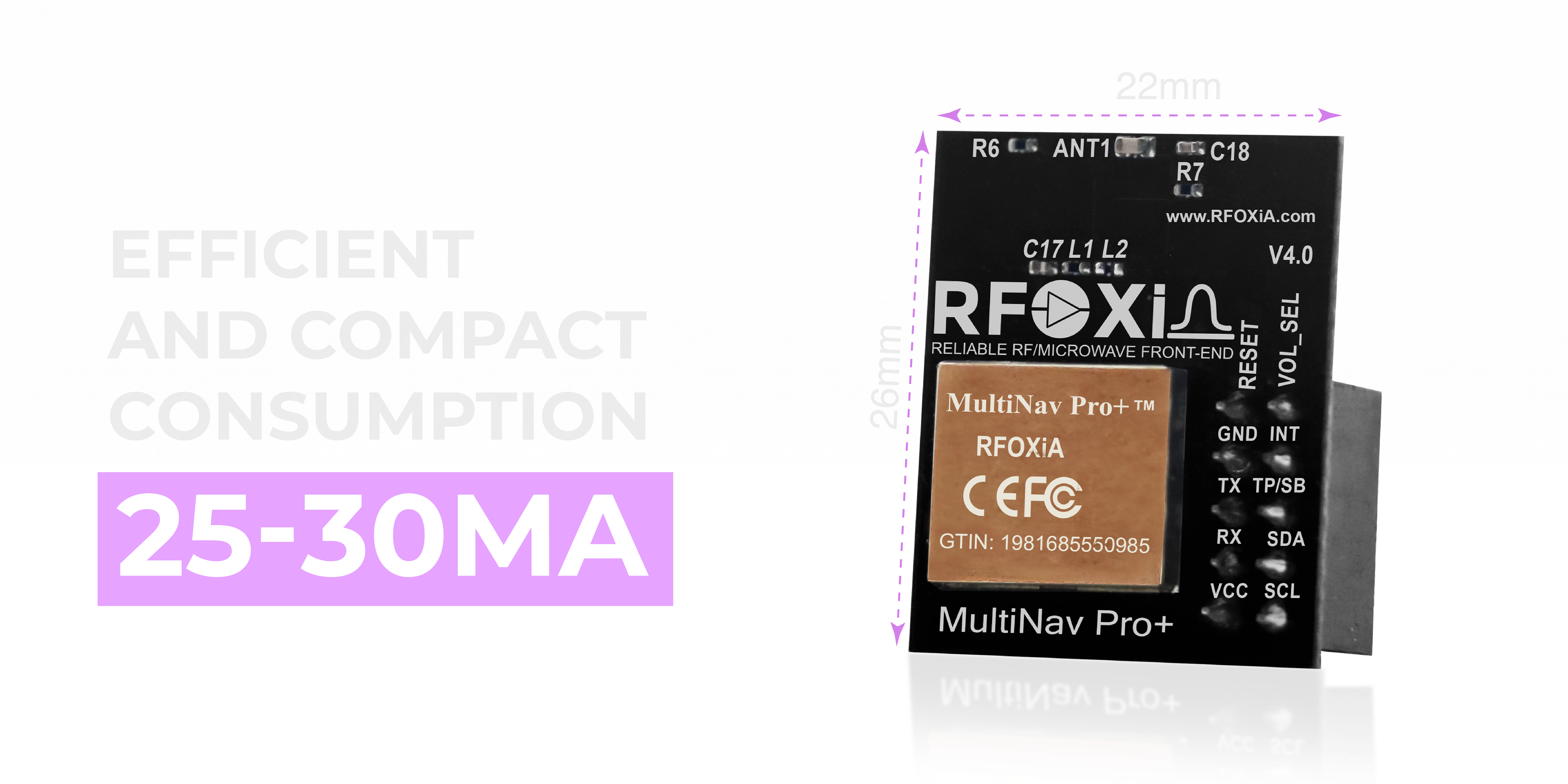
At 26mm × 22mm, the MultiNav Pro+ is compact enough to integrate into miniature drone builds, wearable devices, compact IoT nodes, and any application where PCB real estate is limited. This form factor is no accident — it reflects deliberate engineering choices to maximize capability per square millimeter.
The integrated high-gain chip antenna is a key design decision that enables this compact footprint. Rather than requiring an external patch antenna or ceramic element wired to the module, the chip antenna is built directly into the PCB layout. This simplifies mechanical integration, reduces cable routing complexity, and eliminates the signal losses and assembly variation that come with external antenna connectors.
Power consumption of 25–30mA during normal tracking operation makes the MultiNav Pro+ compatible with lightweight drone builds running tight power budgets. At 3.3V supply voltage, this translates to under 100mW of active power draw — negligible in the context of a complete drone power system, but significant compared to power-hungry modules that draw 80–120mA.
The module supports both 1.8V and 3.3V operating voltages, making it compatible with modern low-voltage microcontroller systems including STM32, ESP32, and Nordic nRF series processors without level shifting.
Interface and Connectivity Options
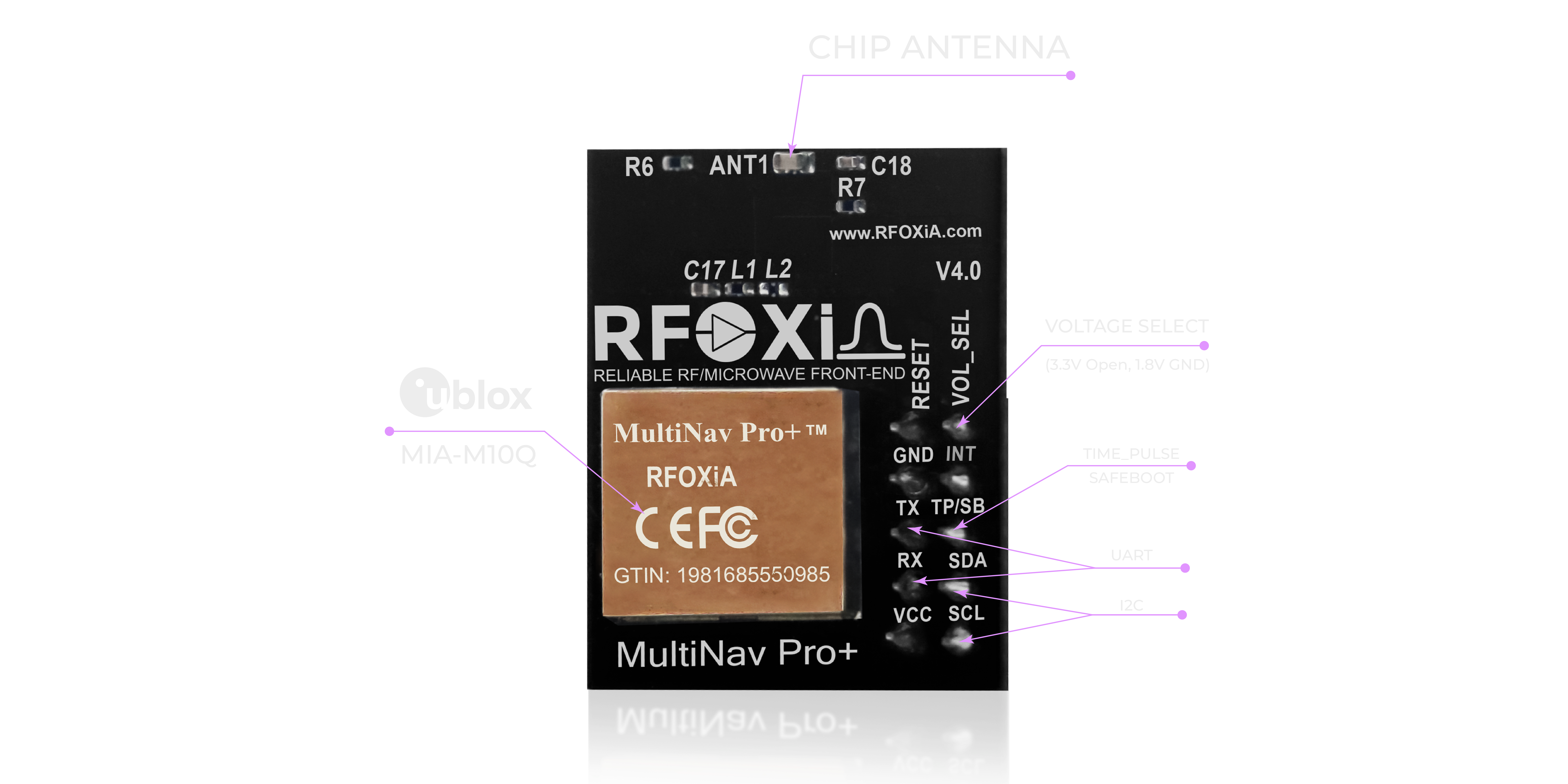
The MultiNav Pro+ supports two standard communication interfaces, giving developers maximum flexibility:
UART (TX/RX): The standard NMEA serial interface. UART is the most universally supported communication protocol in embedded development. Every flight controller, microcontroller, and single-board computer on the market has UART peripherals. Baud rate configuration is handled through the provided software library or directly through u-blox u-center.
I2C (SCL/SDA): For applications where UART pins are already allocated or where multiple devices share a single bus, I2C provides a clean alternative. I2C integration is particularly useful when combining the MultiNav Pro+ with other sensors on a shared bus — common in compact drone and IoT builds.
Both interfaces are supported simultaneously by the MIA-M10Q, allowing the module to output to multiple hosts if your application architecture requires it.
The dual voltage support (1.8V and 3.3V) means the MultiNav Pro+ integrates directly with the full RFOXiA hardware ecosystem — including the BLE Module and Sensors Module — without additional power regulation circuitry.
Open Source Driver and Development Ecosystem
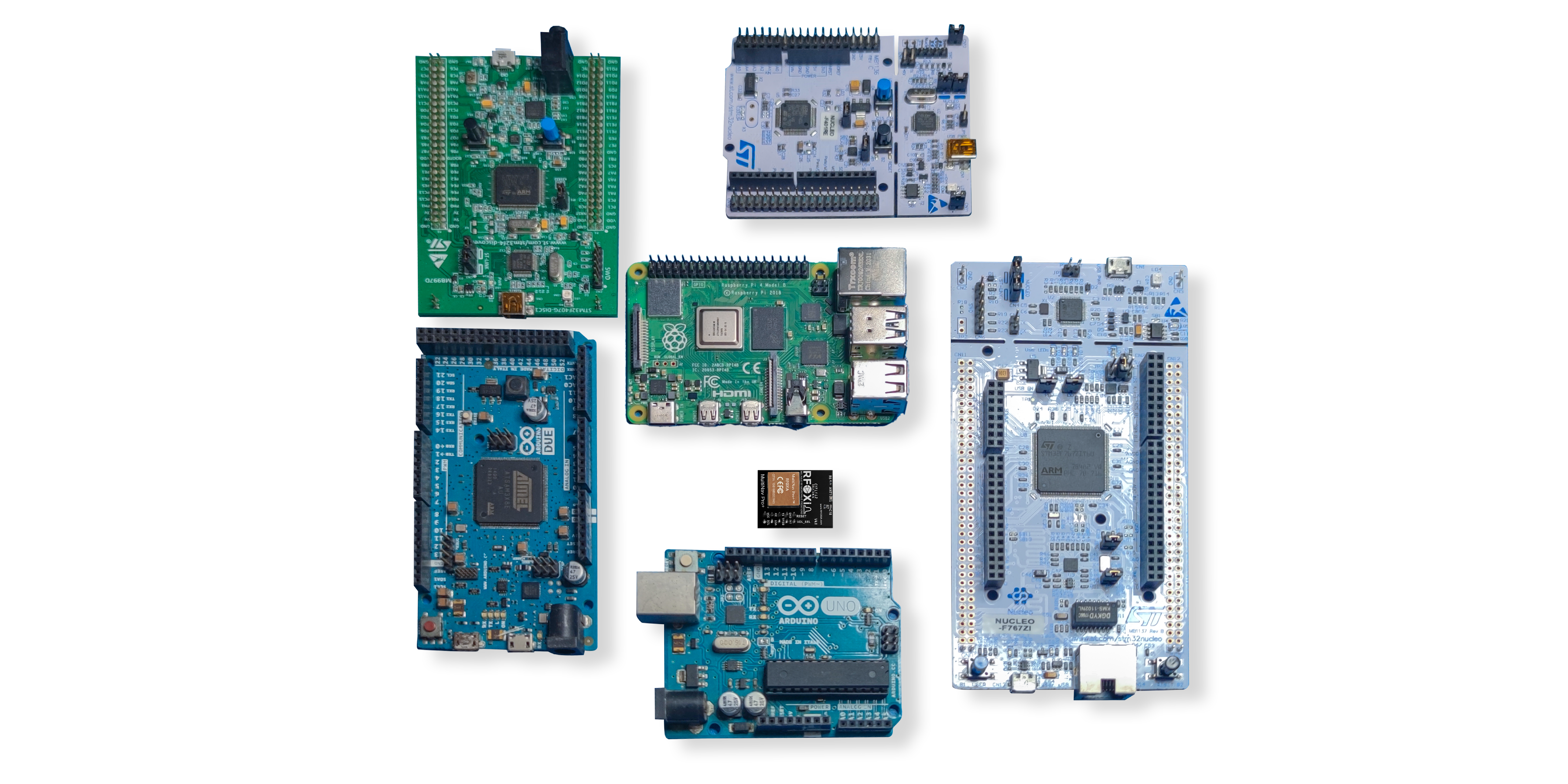
Hardware performance means nothing if you cannot integrate it efficiently into your project. RFOXiA ships the MultiNav Pro+ with a fully open-source C language driver library that handles all NMEA protocol parsing, configuration command generation, and data extraction.
Key characteristics of the open-source driver:
- NMEA standard protocol support — all standard sentences including GGA, RMC, VTG, GSA, and GSV are parsed and made available through clean API calls
- Arduino IDE compatible — import directly into your sketch without modification
- Toolchain agnostic — works with PlatformIO, STM32CubeIDE, ESP-IDF, and any C-compatible embedded development environment
- Minimal dependencies — designed for resource-constrained microcontrollers with limited RAM and flash
- Documented and maintained — RFOXiA publishes all firmware under open-source licensing, consistent with the company's philosophy of democratizing access to professional hardware tools
For developers who want to go beyond the standard library, the MIA-M10Q supports u-blox UBX binary protocol for advanced configuration — enabling custom update rates, constellation selection, power management modes, and RTCM correction input for differential GNSS applications.
If you are looking for the RFOXiA Accurate GNSS Module with a complete, ready-to-run software stack, the open-source driver eliminates the weeks of integration work that typically accompany a new GNSS module design.
u-center Software: Professional Evaluation and Configuration

For evaluation, configuration, and debugging, the MultiNav Pro+ is fully compatible with u-blox u-center — the industry-standard GNSS evaluation and configuration desktop application.
u-center provides:
- Satellite sky plot — visual representation of all tracked satellites by constellation, azimuth, elevation, and signal strength
- Real-time position tracking — live map view showing position, speed, and heading
- Signal quality analysis — C/N₀ graphs per satellite for RF troubleshooting
- Configuration wizard — graphical interface for setting update rate, baud rate, constellation selection, and message output configuration
- Data logging — record sessions for post-mission analysis
- NMEA and UBX message monitor — raw protocol inspection for integration debugging
For professional users integrating the MultiNav Pro+ into production systems, u-center dramatically reduces evaluation and configuration time. What would otherwise require days of embedded debugging can be accomplished in minutes through the graphical interface.
Use Cases: Where the MultiNav Pro+ Delivers

The MultiNav Pro+ was designed with versatility as a core requirement. Here are the primary application domains where this module delivers measurable value:
Drone Navigation and Autonomous Flight
This is the primary application the MultiNav Pro+ was optimized for. The 18Hz update rate keeps pace with flight controller loop rates. The 1.5-meter accuracy enables reliable waypoint missions, geofencing, and precision landing. Multi-constellation support maintains fix reliability during aggressive maneuvers that can temporarily obstruct portions of the sky. Whether you are building a mapping quadcopter, an agricultural spray drone, or a long-range fixed-wing platform, the MultiNav Pro+ provides the navigation foundation your flight controller needs.
FPV and Long-Range RC Applications
Paired with the RFOXiA BLE Module — which delivers up to 20km man-to-drone range — the MultiNav Pro+ enables real-time GPS tracking of FPV aircraft at distances well beyond visual line of sight. The RFOXiA Connect mobile app displays live GPS position on a map alongside real-time sensor data, giving operators complete situational awareness during long-range flights.
IoT Asset Tracking and Environmental Monitoring
The low power consumption and compact form factor make the MultiNav Pro+ ideal for battery-powered IoT tracking nodes. Combined with the RFOXiA Sensors Module, a complete environmental monitoring node with GPS-verified location data can be built in a package small enough to deploy on vehicles, equipment, wildlife collars, or fixed environmental monitoring stations. These deployments also qualify for the RFOXiA data network, where verified sensor data earns daily rewards.
Robotics and Ground Vehicles
For autonomous ground vehicles, the 18Hz update rate enables smooth position-based control at reasonable speeds. The open-source driver integrates cleanly with ROS (Robot Operating System) via NMEA bridge nodes, making the MultiNav Pro+ a natural choice for university robotics teams and professional autonomous vehicle developers.
Research and Survey Applications
Researchers who need sub-2-meter positioning without the complexity and cost of RTK systems will find the MultiNav Pro+ hits an ideal performance-to-cost ratio. Environmental researchers, archaeologists conducting preliminary site surveys, and ecology teams tracking animal movement all benefit from the combination of high fix rate, multi-constellation support, and easy software integration.
Wearables and Personal Tracking
The 26mm × 22mm form factor and 25–30mA power draw make the MultiNav Pro+ viable for wearable applications — athlete performance trackers, personal safety devices, hiking and expedition GPS units, and emergency locator systems.
How the MultiNav Pro+ Fits the RFOXiA Ecosystem
One of the most compelling aspects of the MultiNav Pro+ is not what it does in isolation — it is what it does as part of the complete RFOXiA hardware ecosystem.
The Developer Bundle combines the BLE Module (5–20km wireless range), GNSS Module (1.5m accuracy, 18Hz), Sensors Module (7 sensors: temperature, humidity, pressure, air quality, accelerometer, gyroscope, magnetometer), and Power/Program Kit (5-minute charge for 24-hour runtime) into a single integrated system.
When all four modules work together through the RFOXiA Connect app, you get:
- Live GPS tracking on a map in real time
- Environmental sensor data streaming alongside position
- Long-range wireless communication without internet infrastructure
- 24-hour battery runtime from a 5-minute charge
- AI-assisted firmware development through RFOXiA Club
For drone builders specifically, this means a complete telemetry, navigation, and environmental monitoring system that can be assembled and flying the same day the hardware arrives.
You can explore the full module lineup and order the RFOXiA Accurate GNSS Module directly from the RFOXiA store, where $10 in welcome credits await new Club members.
Technical Specifications Summary
| Parameter | Specification |
|---|---|
| Accuracy | < 1.5 meters CEP |
| Fix Rate | Up to 18Hz |
| First Fix (Hot Start) | < 1 second |
| GNSS Constellations | GPS, Galileo, GLONASS, BeiDou (concurrent) |
| Core Chipset | u-blox MIA-M10Q |
| Interfaces | UART (TX/RX), I2C (SCL/SDA) |
| Operating Voltage | 1.8V and 3.3V |
| Current Consumption | 25–30mA |
| Module Dimensions | 26mm × 22mm |
| Antenna | Integrated high-gain chip antenna |
| Certification | FCC certified |
| Software | Open-source C library, Arduino IDE compatible |
| Evaluation Tool | u-blox u-center compatible |
| Price | $49 |
FCC Certification: Why It Matters for Your Project
Every RFOXiA module — including the MultiNav Pro+ — carries full FCC certification. For builders deploying in the United States, FCC certification is not optional when integrating radio-frequency devices into commercial or semi-commercial applications. More practically, FCC certification is the credential that unlocks major distribution channels including DigiKey, Mouser, and retail electronics platforms.
For developers building products that incorporate the MultiNav Pro+ as a component, RFOXiA's FCC certification simplifies your own regulatory pathway. Integrating a pre-certified GNSS module significantly reduces the scope of RF testing required for your end product.
Pricing and Availability
The MultiNav Pro+ GNSS Module is priced at $49 — a figure that reflects RFOXiA's core mission of democratizing access to professional-grade hardware. At this price point, there is no other module on the market combining the MIA-M10Q chipset, 18Hz fix rate, multi-constellation concurrent tracking, integrated chip antenna, FCC certification, and open-source driver library.
Inventory is available now and ships directly from RFOXiA. New RFOXiA Club members receive $10 in welcome credits on signup, which can be applied toward purchase.
For the most up-to-date pricing, bundle options, and availability, visit the RFOXiA Accurate GNSS Module product page.
Final Verdict: Is the MultiNav Pro+ the Best GPS Module for Drones in 2026?
For drone builders, robotics engineers, IoT developers, and researchers who need genuine precision positioning without a five-figure budget, the answer is straightforwardly yes. The MultiNav Pro+ delivers on every metric that defines professional GNSS performance:
- Accuracy that enables real autonomous mission capability
- Update rate that keeps pace with high-speed platforms
- Acquisition speed that eliminates pre-flight waiting
- Constellation diversity that maintains fix in challenging environments
- Integration simplicity through open-source drivers and standard interfaces
- Ecosystem compatibility that makes it more valuable as part of a complete system
- FCC certification that opens doors to commercial deployment
The best GPS module for drones in 2026 is not the most expensive one. It is the one that delivers the performance your application actually requires, integrates cleanly into your development workflow, and ships today at a price that leaves budget for the rest of your build. The MultiNav Pro+ checks every box.
Ready to build with precision? Explore the MultiNav Pro+ and the complete RFOXiA hardware ecosystem at rfoxia.com.
Written by: Moamen Mohamed LinkedIn