
Fleet Tracking GNSS Module: The MultiNav Pro+™ Precision Navigation Solution
Why Your Fleet Tracking GNSS Module Choice Defines Your Entire Operation
Every fleet operator, drone builder, robotics engineer, and IoT developer eventually arrives at the same critical decision: which GNSS module do you trust to anchor your entire system? The positioning layer is not a component you iterate on cheaply. A poor choice here cascades through every layer of your application — from unreliable position fixes that corrupt your data logs, to update rates too slow to track fast-moving assets, to multi-path interference that makes your system look broken in the field when the hardware is simply undersized for the job.
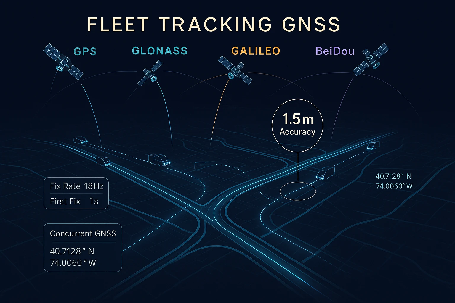
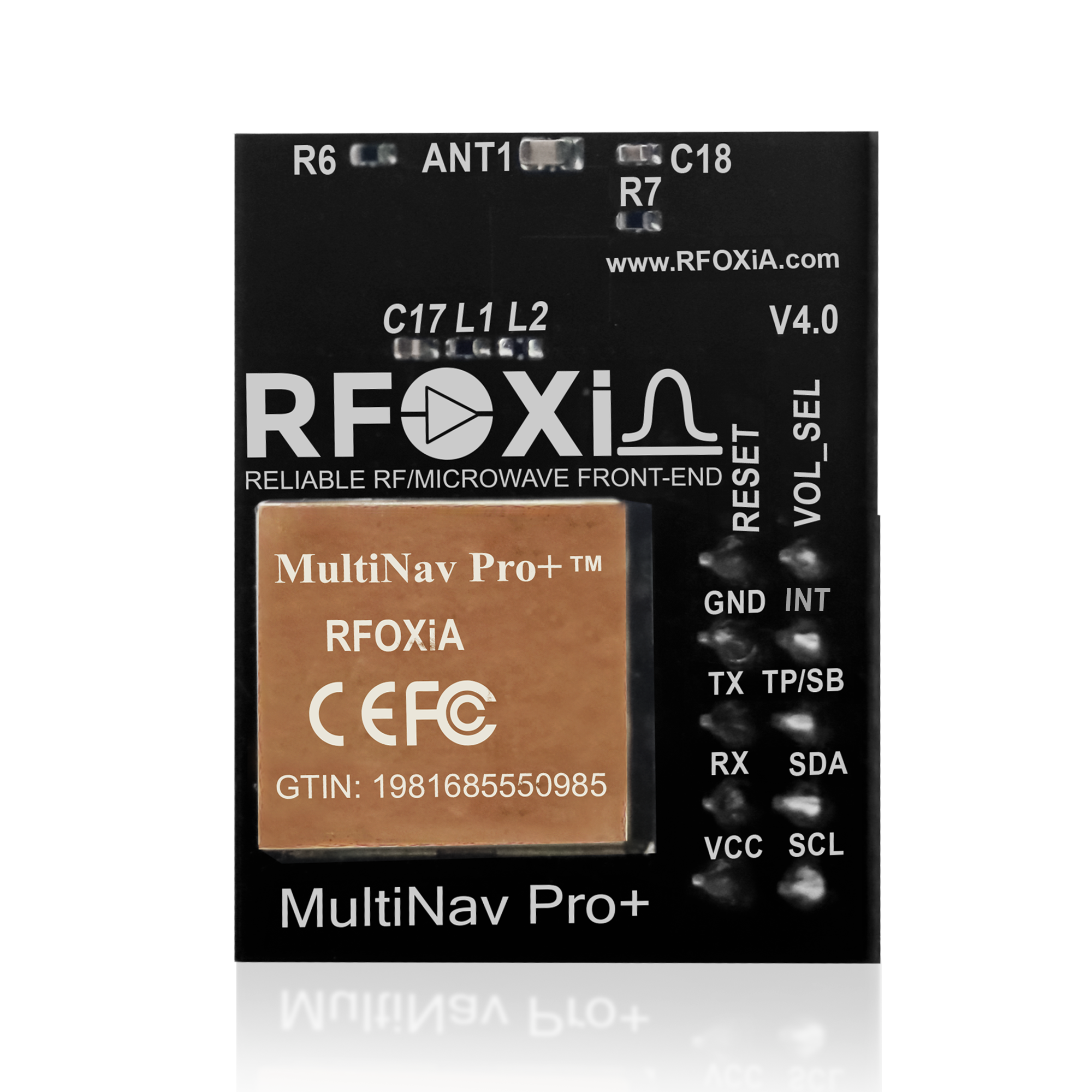
The MultiNav Pro+™ from RFOXiA was engineered from the ground up to eliminate every one of those failure modes. It is a professional-grade fleet tracking GNSS module that delivers 1.5-meter accuracy, an 18Hz fix rate, and concurrent multi-constellation reception — all packed into a 26mm × 22mm footprint that integrates cleanly into virtually any hardware design.
This guide covers everything you need to know: the hardware architecture, the performance specifications, integration details, software toolchain support, and real-world use cases across fleet tracking, drone operations, research, and industrial IoT.
What Makes a GNSS Module "Fleet-Grade"?
Before diving into the MultiNav Pro+ specifically, it is worth establishing what separates a consumer-grade positioning chip from a module that belongs in a professional fleet tracking deployment.
Update rate. Consumer-grade GNSS typically outputs position fixes at 1Hz — once per second. For a vehicle traveling at 60 mph, that is 88 feet of blind travel between each position update. Fleet operations, drone tracking, and precision agriculture demand much higher temporal resolution. The MultiNav Pro+ delivers 18Hz — eighteen confirmed position fixes per second — which is the benchmark for tracking fast-moving platforms in real time.
Accuracy. Consumer-grade modules often advertise CEP (Circular Error Probable) values that look impressive in datasheets but degrade significantly in real-world environments with urban canyon effects, multipath reflections, and atmospheric interference. The MultiNav Pro+ achieves less than 1.5 meters of horizontal accuracy using RF/microwave microstrip filter technology that actively minimizes interference before it reaches the signal processing chain.
Constellation support. A module locked to GPS alone is dependent on the health of a single satellite infrastructure. Professional deployments require concurrent access to GPS, GLONASS, Galileo, and BeiDou simultaneously — not switched fallback, but true simultaneous reception — because constellation diversity is the primary defense against signal gaps, especially in environments with partial sky obscuration.
Integration quality. A raw chipset is not a product. The difference between a bare u-blox chip and the MultiNav Pro+ is the RF design, the antenna integration, the filtering, the interface implementation, and the open-source software library that makes the entire stack accessible to developers without requiring weeks of bringup work.
The Hardware Foundation: u-blox MIA-M10Q
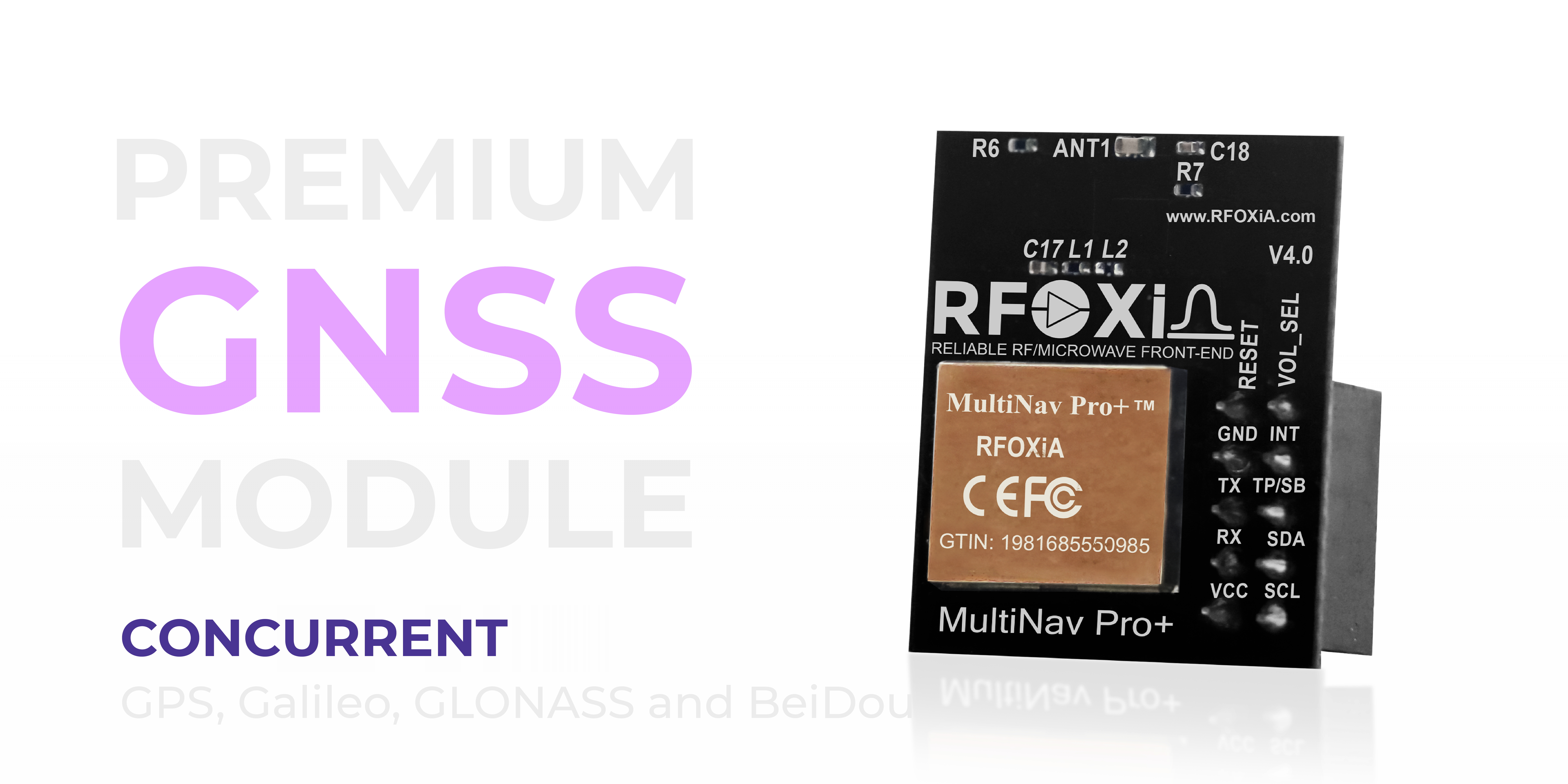
At the core of the MultiNav Pro+ is the u-blox MIA-M10Q — the latest generation GNSS receiver from one of the most trusted names in professional positioning technology. u-blox chipsets power mission-critical navigation applications worldwide, from autonomous vehicles to precision surveying instruments to maritime tracking systems.
The MIA-M10Q was specifically designed for power-sensitive applications that do not compromise on performance. Its architecture enables the MultiNav Pro+ to maintain full multi-constellation operation while staying within the 25–30mA power envelope — a figure that matters enormously in battery-powered fleet trackers, UAVs with strict weight budgets, and solar-powered IoT nodes where every milliamp-hour counts.
Choosing a module built on the MIA-M10Q is not just a hardware decision — it is a statement about the quality of positioning data your entire system will produce from day one through the end of its operational life.
Accuracy and Performance: Sub-1.5m in Real-World Conditions

Let's talk about what 1.5-meter accuracy actually means in practice.
For a fleet tracking GNSS module, 1.5-meter horizontal accuracy means you can determine not just which road a vehicle is on, but which lane. It means your geofencing triggers fire at the right moment — not 10 meters early or 10 meters late. It means route compliance reporting is accurate enough to stand behind in an audit. It means delivery confirmation geo-stamps are legally defensible.
For drone operators, 1.5-meter accuracy means precise waypoint navigation, reliable return-to-home performance, and position hold stability that does not drift into obstacles in windy conditions.
The 18Hz fix rate compounds the value of that accuracy. High accuracy with a slow update rate still produces blind spots between fixes. The MultiNav Pro+'s 18 fixes per second gives you a continuous, high-resolution position stream that represents the actual trajectory of your asset — not a series of interpolated guesses between infrequent samples.
And the first-fix-in-one-second performance means your system is operational from cold power-up within a single second. No waiting for satellite acquisition. No deployment delays in the field. Power on, fix acquired, data flowing.
Compact and Power-Efficient: Built for Real Integrations
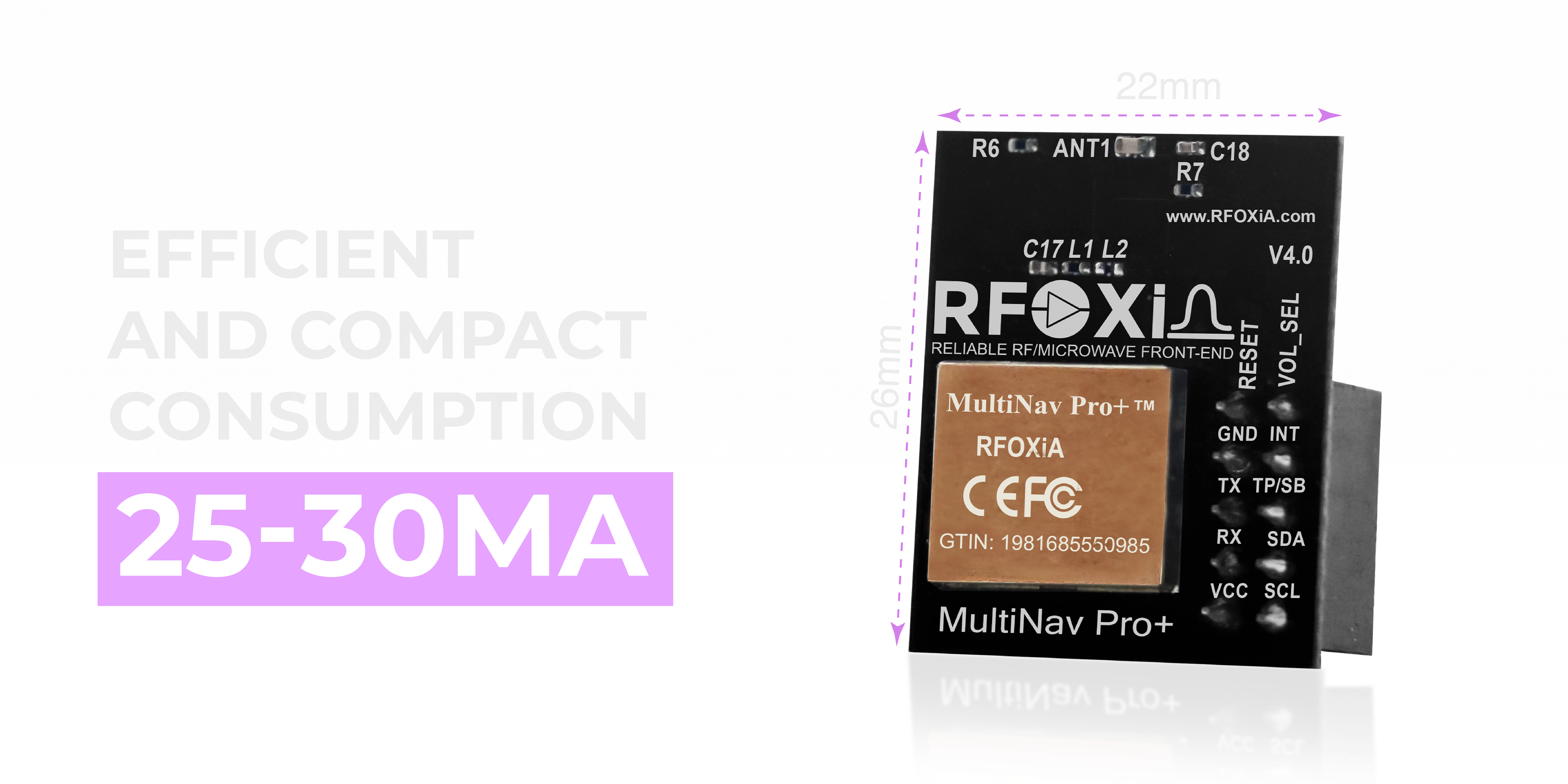
At 26mm × 22mm, the MultiNav Pro+ occupies roughly the footprint of a US quarter. That is not a marketing point — it is an engineering constraint that determines whether this module fits your design or forces a board redesign.
The compact form factor is particularly relevant for:
- Drone integration — where every gram of board area competes with battery capacity and payload
- Wearable tracking devices — where enclosure volume is the hardest constraint
- Fleet tracker hardware — where OEMs want the smallest possible PCB to minimize enclosure cost
- Multi-module stacking — where the MultiNav Pro+ is paired alongside the RFOXiA BLE Module and Sensors Module on a unified carrier board
The 25–30mA operating current is equally significant. At 3.3V, that is under 100mW of continuous power consumption for a full multi-constellation GNSS receiver running at 18Hz. Solar harvesting, small LiPo cells, and supercapacitor-backed designs can all sustain the MultiNav Pro+ for extended field deployments without oversized battery packs.
Interface and Integration: UART, I2C, and Voltage Flexibility
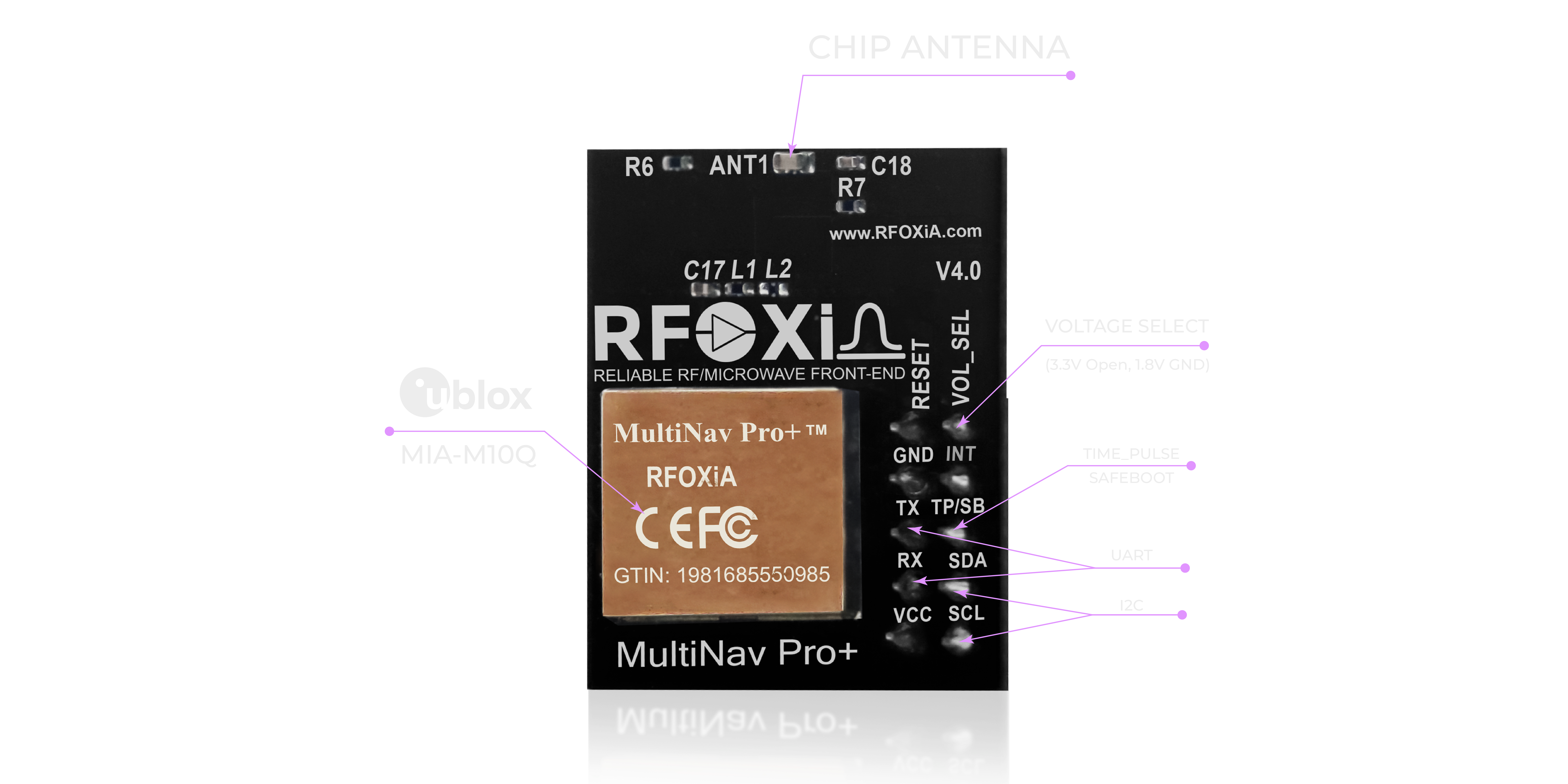
The MultiNav Pro+ supports both UART (TX/RX) and I2C (SCL/SDA) interfaces, giving developers the flexibility to integrate cleanly with virtually any microcontroller architecture.
UART is the standard choice for most microcontroller-based designs. The NMEA standard protocol output over UART is directly compatible with Arduino, STM32, ESP32, Raspberry Pi, and nearly every embedded platform in common use. No translation layer required — connect TX and RX, configure your baud rate, and start parsing NMEA sentences.
I2C becomes valuable when your design is already bus-constrained and you need to add GNSS without consuming additional UART peripherals. The I2C interface on the MultiNav Pro+ allows it to share a bus with other sensors — a common pattern when building compact IoT nodes or adding positioning to an existing sensor array.
The dual voltage support — 1.8V and 3.3V — ensures compatibility across both legacy and modern MCU families. Whether you're working with 3.3V logic on an STM32 or interfacing with a 1.8V application processor on a compact SoC, the MultiNav Pro+ adapts without level-shifting hardware.
This integration flexibility is one of the reasons the MultiNav Pro+ works so cleanly as the positioning layer in the full RFOXiA Developer Bundle — it interfaces directly with the BLE module and Sensors module without requiring any additional interface hardware.
Open-Source Driver: Production-Ready Code from Day One
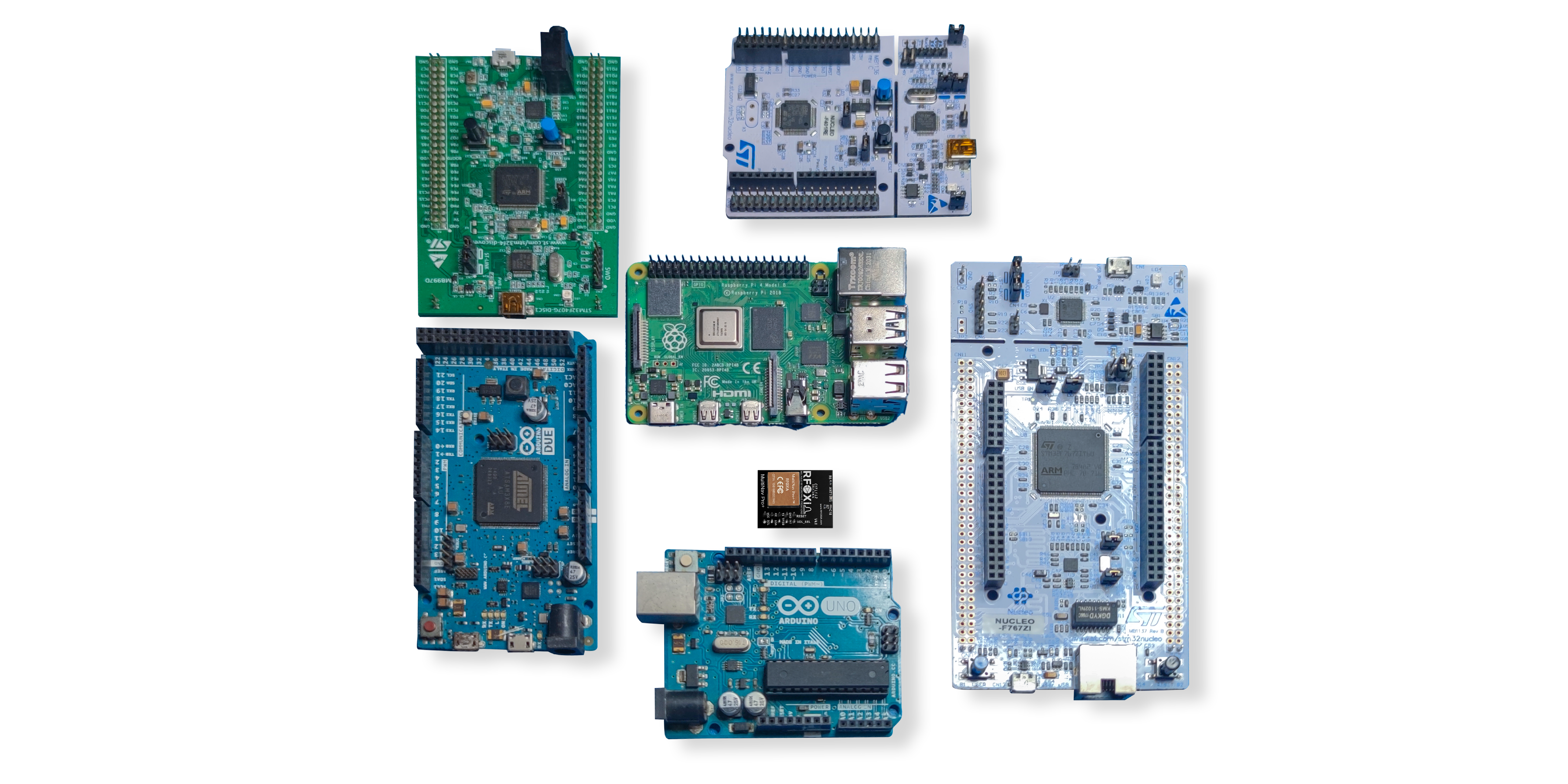
Hardware without accessible software is a hardware prototype, not a product. The MultiNav Pro+ ships with a fully open-source C language library that covers NMEA standard protocol parsing, satellite constellation data extraction, fix quality assessment, and configuration command transmission.
The library is structured to import directly into Arduino IDE with minimal setup — add the library, include the header, connect your pins, and you are outputting parsed latitude, longitude, altitude, heading, speed, fix quality, satellite count, and HDOP in minutes. The same library drops cleanly into any other toolchain: PlatformIO, STM32CubeIDE, ESP-IDF, or any C-compatible embedded build environment.
For professional developers building proprietary firmware, the open-source C codebase provides a verified, tested reference implementation that you can audit, modify, and integrate into your own codebase without royalties or licensing restrictions.
RFOXiA's AI Firmware Builder — available inside RFOXiA Club — can also generate application-specific firmware using the MultiNav Pro+ library as a foundation. Describe your tracking application in plain language and receive production-ready firmware that integrates GNSS, your chosen communication protocol, and your data processing logic in a single output.
If you are building a fleet tracking GNSS module application and want to skip the firmware development phase entirely, RFOXiA Accurate GNSS Module is the fastest path from hardware acquisition to working system.
U-Center Software: Professional Satellite Visualization and Configuration
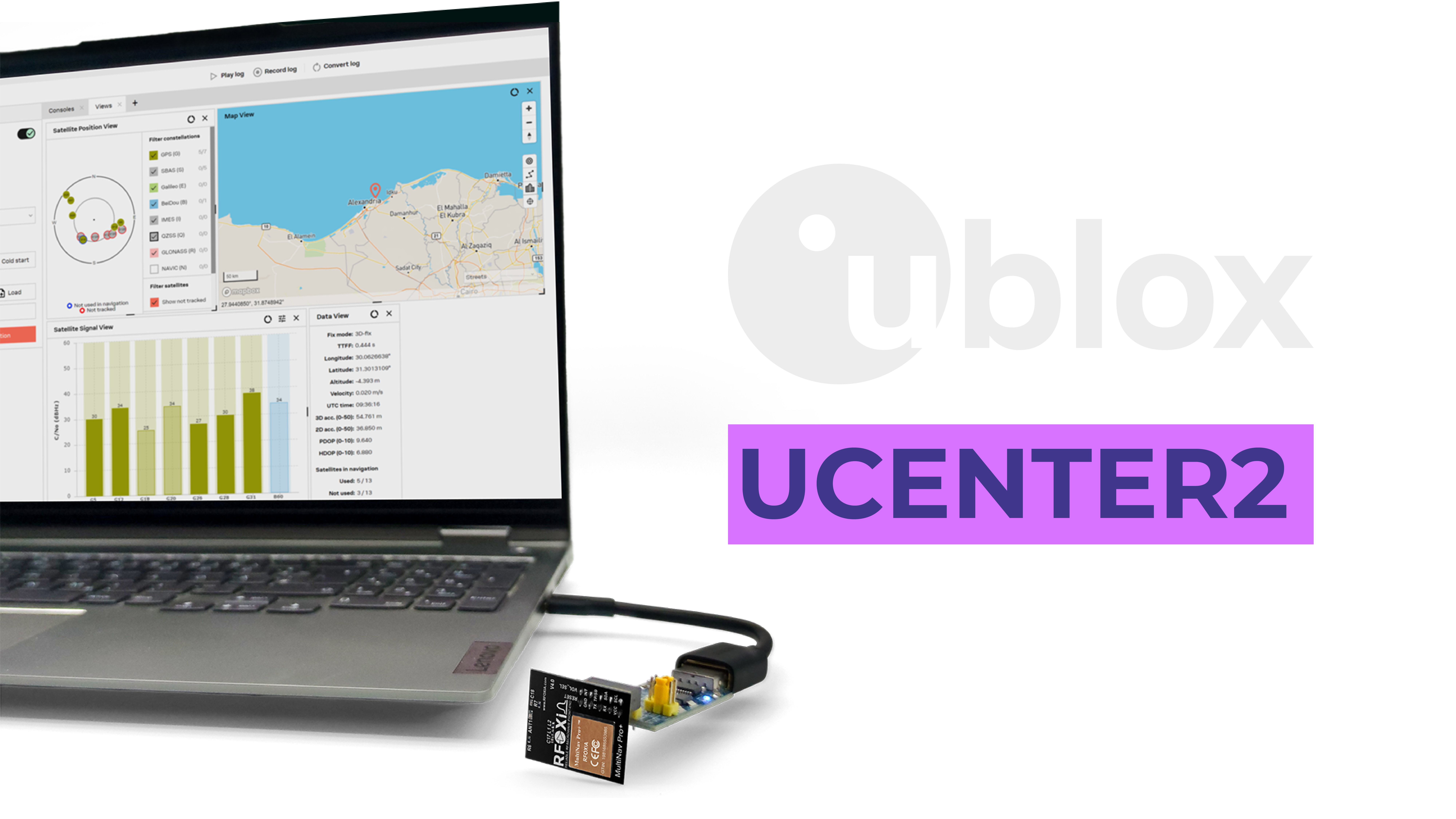
Because the MultiNav Pro+ is built on u-blox silicon, it is fully compatible with u-blox's professional U-Center software — one of the most capable GNSS evaluation and configuration tools available at any price point.
U-Center gives you:
- Satellite sky view — real-time visualization of every satellite in view, signal strength per satellite, and constellation breakdown
- Position map — live map tracking of your module's position, with historical track logging
- Message console — raw NMEA output, UBX protocol messages, and configurable message filters
- Fix quality metrics — HDOP, VDOP, PDOP, satellite count, fix type, and accuracy estimates in real time
- Configuration interface — change update rates, enable/disable constellations, configure power modes, and save settings to flash without writing a single line of code
- Data logging — export logged sessions to CSV, KML, or UBX binary for post-processing and analysis
For fleet operators validating a new vehicle tracking deployment, U-Center provides the diagnostic tooling to confirm your modules are achieving expected accuracy before rolling out at scale. For drone developers tuning their autopilot integration, the real-time fix quality monitoring catches the edge cases that only appear in the field.
Use Cases: Where the MultiNav Pro+ Performs

Fleet Vehicle Tracking
The MultiNav Pro+ is an ideal fleet tracking GNSS module for OEMs building vehicle tracking hardware. The 18Hz update rate delivers sub-second position resolution for speed enforcement, geofence triggering, and route compliance monitoring. The 1.5-meter accuracy places vehicles with lane-level precision on digital maps. The UART/I2C interface connects directly to cellular modems, LoRa radios, or the RFOXiA BLE module for data uplinking.
Drone and UAV Navigation
Drone autopilots need high update-rate GNSS to close the control loop fast enough for stable flight. At 18Hz, the MultiNav Pro+ feeds position data to flight controllers at a rate that supports aggressive maneuvers, precise waypoint transitions, and position hold in wind. The compact form factor keeps weight penalties minimal, and the first-fix-in-one-second performance means your drone is GPS-ready before pilot pre-flight checks are complete.
Precision Agriculture
Variable-rate application systems, automated harvesting equipment, and precision planting operations all require sub-2-meter positioning to stay within the resolution of agronomic prescription maps. The MultiNav Pro+'s 1.5-meter accuracy places it solidly within the precision agriculture accuracy band for these applications, at a fraction of the cost of RTK-only solutions.
Asset and Container Tracking
For logistics operators tracking containers, trailers, and high-value assets, the MultiNav Pro+ provides the positioning accuracy to determine dock position, yard location, and gate crossing events with confidence. The low power consumption enables long battery life in self-powered tracker designs.
Research and Environmental Monitoring
When combined with the RFOXiA Sensors Module and deployed as a network node, the MultiNav Pro+ provides GPS-verified outdoor positioning for environmental data collection. This position verification is the backbone of RFOXiA's data monetization network — ensuring that sensor data is provably collected at the reported location, making it valuable to enterprise data buyers.
Robotics and Autonomous Systems
Outdoor autonomous robots require reliable absolute positioning as a complement to local odometry and SLAM systems. The MultiNav Pro+'s high update rate provides a continuous position anchor that prevents odometry drift from accumulating over extended operational periods.
Full RFOXiA Ecosystem Integration
The MultiNav Pro+ does not exist in isolation. It is one layer in a complete wireless development ecosystem that RFOXiA has built specifically to support developers building connected, mobile, and autonomous systems.
When combined with the RFOXiA BLE Module — which achieves 5km ground-to-ground and 15-20km man-to-drone range — the MultiNav Pro+ enables real-time GPS position streaming over long-range Bluetooth to the RFOXiA Connect mobile app. The app displays a live map with your asset's tracked position, sensor data overlays, and a PS5-style controller interface — all without requiring internet connectivity.
This combination is particularly powerful for:
- Long-range drone operations where cellular coverage is unavailable
- Remote field research where researchers need position data relayed to a base station
- Search and rescue operations where the app's offline-capable map provides situational awareness
- Fleet operations in cellular-dead zones where BLE relay mesh can bridge gaps
The Developer Bundle — which includes the MultiNav Pro+, BLE Module, Sensors Module, and Power/Program Kit — is the complete starting point for any of these applications. For developers serious about building fleet tracking, drone control, or environmental monitoring systems, the bundle provides every hardware layer needed at a price that makes prototyping economically practical.
Explore the complete module and bundle options at RFOXiA Accurate GNSS Module.
Technical Specifications Summary
| Parameter | Specification |
|---|---|
| GNSS Chip | u-blox MIA-M10Q |
| Accuracy | < 1.5 meters CEP |
| Fix Rate | Up to 18Hz |
| Time to First Fix | 1 second (hot start) |
| Constellations | GPS, GLONASS, Galileo, BeiDou (concurrent) |
| Interface | UART (TX/RX), I2C (SCL/SDA) |
| Supply Voltage | 1.8V / 3.3V |
| Operating Current | 25–30mA |
| Dimensions | 26mm × 22mm |
| Antenna | Integrated chip antenna |
| Certification | FCC certified |
| Software | Open-source C library, U-Center compatible |
| Price | $49 |
Why FCC Certification Matters for Fleet and Commercial Deployments
The MultiNav Pro+ carries FCC certification — a non-negotiable requirement for any commercial fleet tracking GNSS module deployment in the United States, and increasingly a prerequisite for distribution through professional channels including DigiKey, Mouser, and enterprise procurement systems.
FCC certification confirms that the module's RF emissions have been independently tested and confirmed to meet federal standards. For fleet operators, this certification means the module can be legally deployed in commercial vehicles. For OEMs building fleet tracking hardware, it means the GNSS module does not require individual device certification — the module's existing certification transfers to your end product (subject to integration guidelines).
For any serious commercial or industrial application, purchasing non-certified GNSS modules is an operational risk that certified alternatives like the MultiNav Pro+ eliminate completely.
Pricing and Availability
The MultiNav Pro+ is priced at $49 per unit, with inventory available and ready to ship.
For developers evaluating the complete RFOXiA ecosystem, the Developer Bundle at $199 provides the MultiNav Pro+ alongside the BLE Module, Sensors Module, and Power/Program Kit — representing significant savings versus purchasing each module individually, and providing the complete hardware stack needed to build, test, and deploy a fleet tracking or drone control application from scratch.
Join RFOXiA Club for free and receive a $10 welcome credit toward your first order. The Club platform also includes the AI Firmware Builder, open-source documentation, community Dev Hub, and live device command features that accelerate your development timeline.
Ready to add professional-grade positioning to your next project? RFOXiA Accurate GNSS Module is your starting point.
Conclusion
The MultiNav Pro+ is not a commodity GNSS breakout board. It is a professionally engineered fleet tracking GNSS module built on industry-leading u-blox silicon, wrapped in an RF design that delivers less than 1.5 meters of positioning accuracy at 18 fixes per second, in a form factor that integrates into any serious hardware design, supported by an open-source software stack and professional diagnostic tooling — all for $49.
For developers building fleet tracking systems, drone control applications, environmental monitoring networks, or any application where knowing exactly where something is — right now, with high accuracy, at a high update rate — matters, the MultiNav Pro+ is the module that belongs at the center of your design.
The technology that was once confined to military programs and enterprise-grade survey equipment is now accessible to every builder, every engineer, and every developer with a project that demands real positioning performance. That is what RFOXiA was built to deliver.
Written by: Moamen Mohamed LinkedIn