
The Best GNSS Module for Drones: Why Precision Pilots Choose the MultiNav Pro+
GNSS Module for Drones That Delivers Real Precision — Not Just Promises
If you have ever watched a drone drift off course mid-mission, overshoot a waypoint, or lose position lock at the worst possible moment, you already understand why choosing the right GNSS module for drones is not optional — it is the foundation of everything your platform does. Precision navigation defines whether your mission succeeds or fails, whether your footage is usable, and whether your aircraft comes home safely.
The problem most drone builders and engineers run into is the gap between what budget GNSS modules advertise and what they actually deliver in the field. Sub-meter accuracy claims dissolve in environments with multi-path interference. Fix rates that look great on paper become sluggish during fast dynamic movement. And concurrent multi-constellation support — a genuine necessity for reliable outdoor performance — is often omitted entirely from entry-level solutions.
The MultiNav Pro+ GNSS Module from RFOXiA was designed to close that gap completely. This is precision navigation hardware engineered for the real conditions drone builders, FPV pilots, robotics engineers, and IoT developers actually work in — not ideal lab conditions.
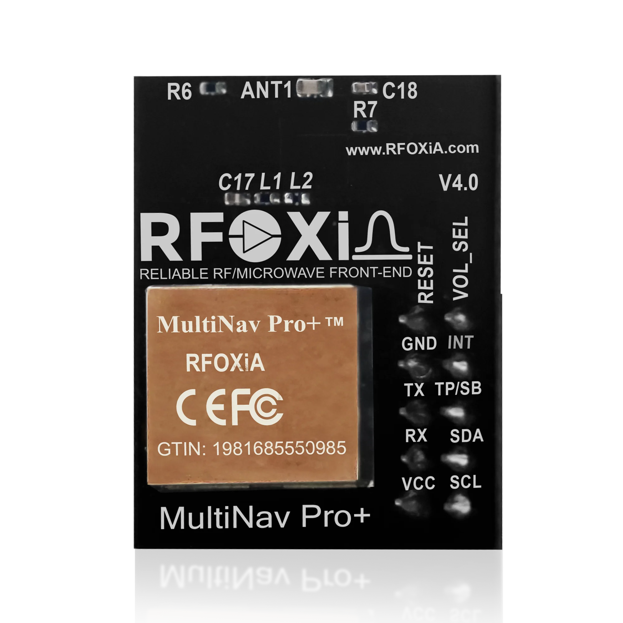
In this guide, we will break down exactly what makes the MultiNav Pro+ the most capable GNSS module for drones in its class, walk through every key specification, explore real-world use cases, and explain why it integrates so powerfully with the broader RFOXiA ecosystem.
What Makes a GNSS Module Truly Drone-Ready?
Before diving into the MultiNav Pro+ specifically, it helps to understand what separates a genuinely capable GNSS module for drone applications from a generic positioning chip.
Fix Rate: The Specification Most Builders Underestimate
A fix rate describes how many times per second the module recalculates and updates its position output. For a drone hovering stationary over a target, a 1Hz or 5Hz update rate may seem acceptable. But for a platform moving at 60 km/h through a dynamic flight path, that same update rate produces significant positional lag — the reported position consistently lags behind the aircraft's actual position.
The MultiNav Pro+ operates at an 18Hz fix rate, meaning it delivers 18 fresh position calculations every second. This is among the highest fix rates available in compact GNSS modules, and it is specifically what makes this module viable for fast-moving drone platforms where real-time position awareness is critical.
Accuracy: The Difference Between Landing and Missing
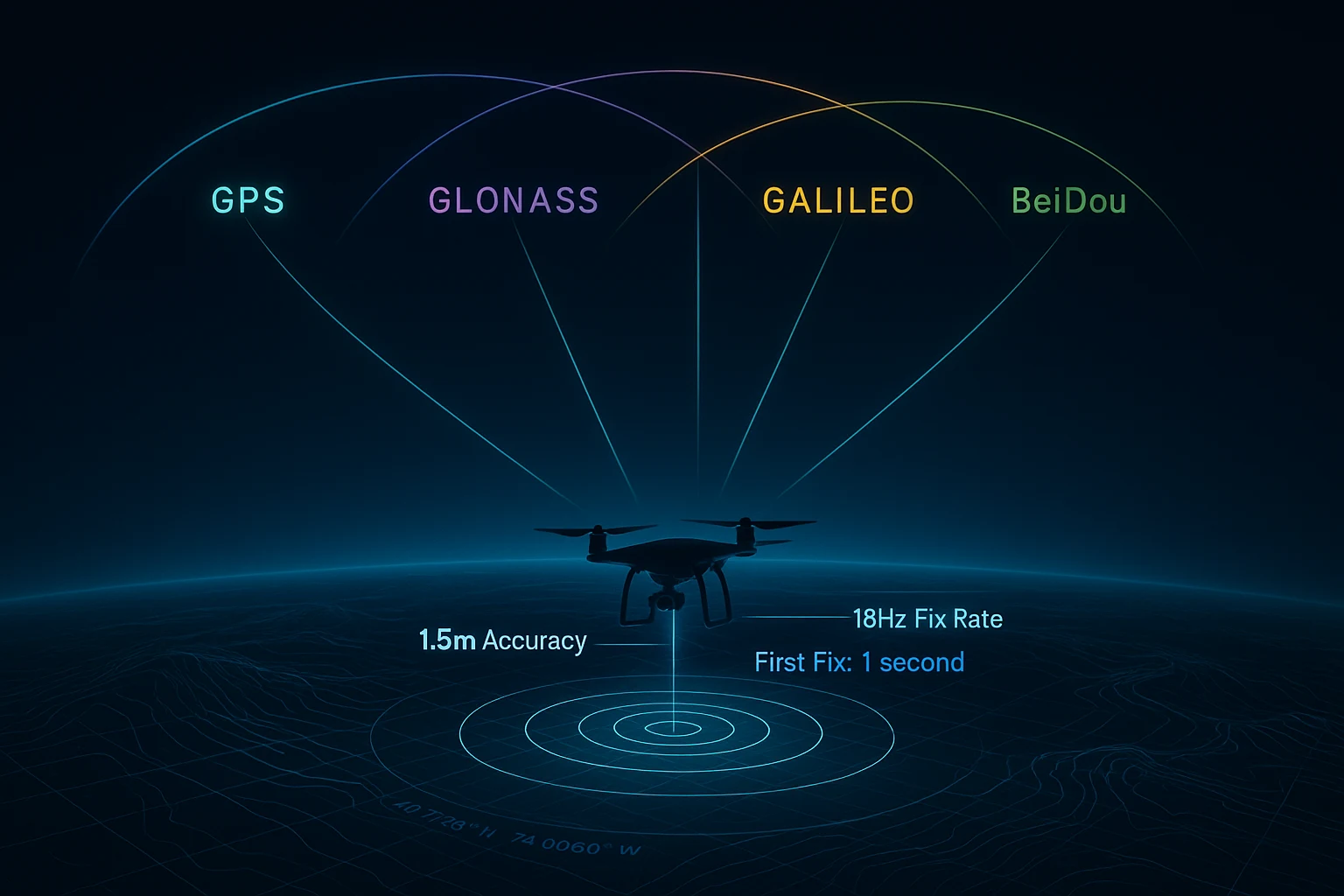
For precision applications — autonomous return-to-home, payload delivery, mapping runs, precision agriculture — the difference between 5-meter accuracy and 1.5-meter accuracy is the difference between the mission succeeding and failing. The MultiNav Pro+ achieves less than 1.5-meter horizontal accuracy under open-sky conditions, a performance level that was difficult to achieve without RTK correction hardware just a few years ago.
Multi-Constellation Support: Never Depend on One System
A module that only receives GPS signals is dependent on one constellation of satellites. If you are operating in a region with suboptimal GPS geometry, flying near structures that obstruct satellite lines of sight, or working in high-latitude environments where GPS coverage thins, single-constellation performance degrades dramatically.
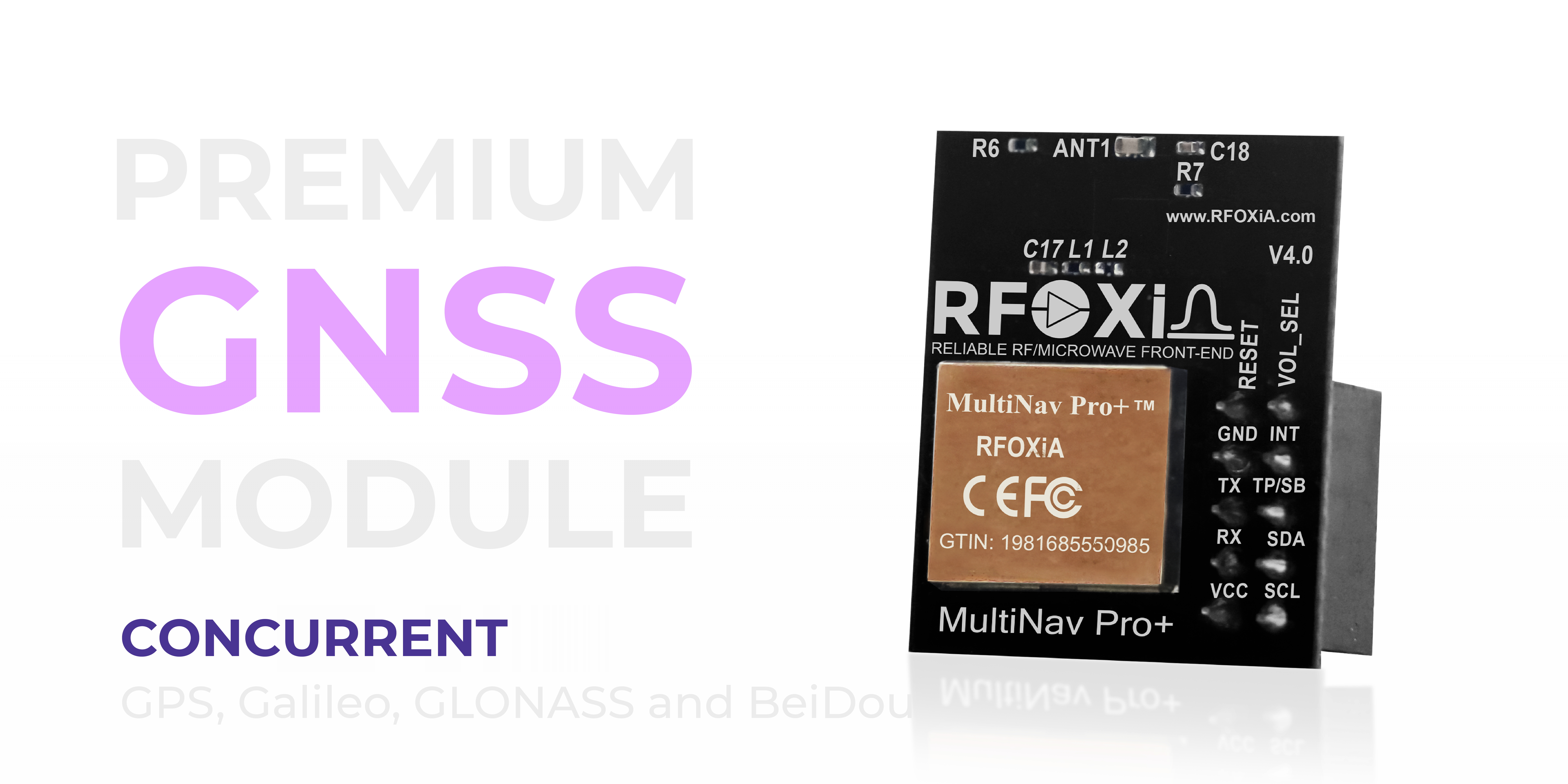
Concurrent multi-constellation support — receiving GPS, GLONASS, Galileo, and BeiDou simultaneously — increases the number of visible satellites at any moment, improves geometric diversity, and produces stronger, more resilient position solutions. The MultiNav Pro+ supports all four major constellations concurrently, not sequentially, ensuring maximum satellite availability regardless of your location on Earth.
MultiNav Pro+ Technical Specifications Deep Dive
At the core of the MultiNav Pro+ is the u-blox MIA-M10Q — one of the latest generation GNSS chipsets from the industry leader in precision positioning silicon. u-blox chipsets are found in professional-grade navigation systems across automotive, aerospace, precision agriculture, and robotics industries. Selecting this chip as the foundation of the MultiNav Pro+ ensures that the module benefits from decades of u-blox GNSS algorithm development, superior receiver sensitivity, and the reliability that professional engineers require.
Accuracy and Fix Performance
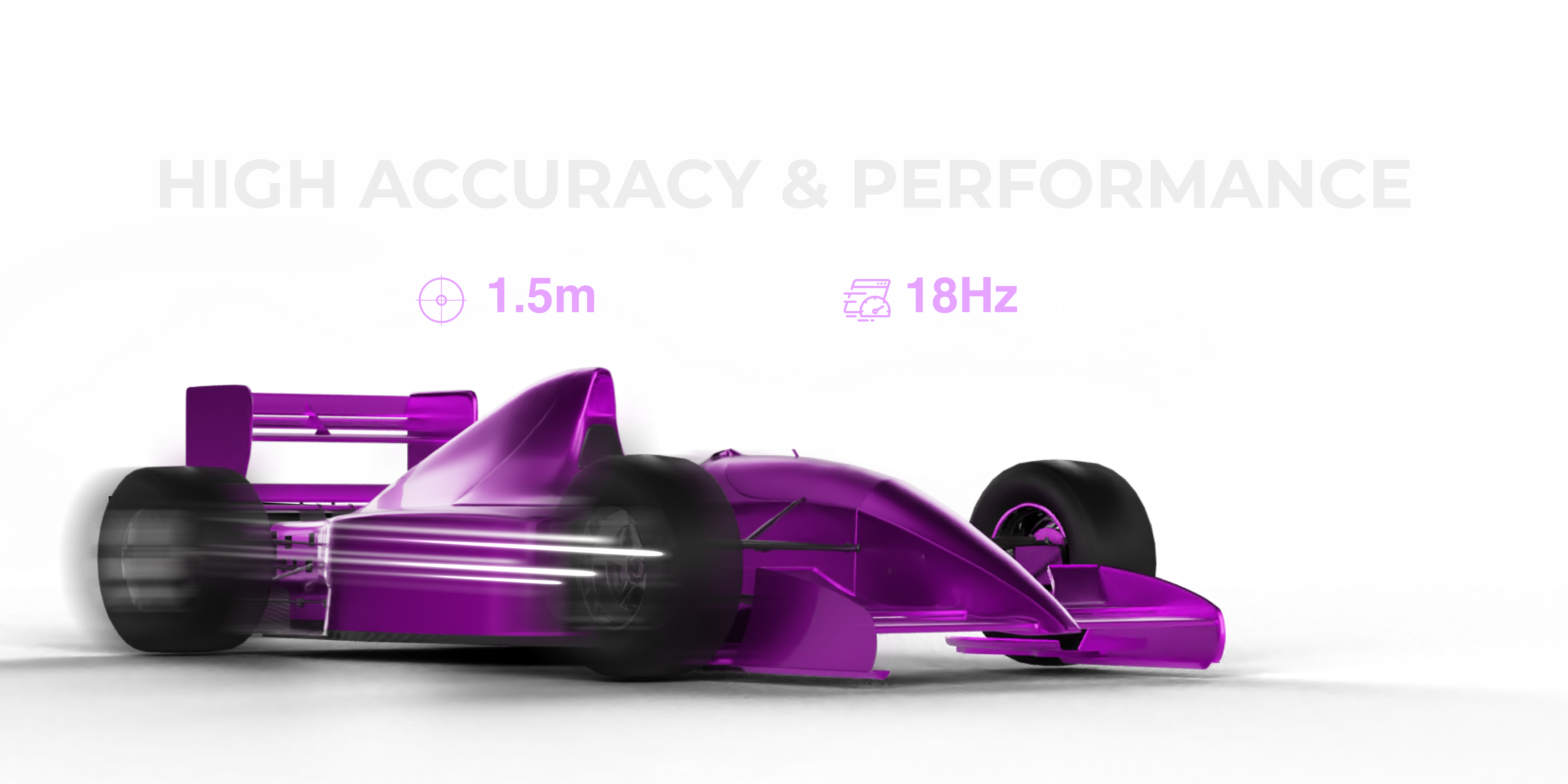
- Horizontal accuracy: < 1.5 meters CEP (Circular Error Probable)
- Fix rate: Up to 18Hz — 18 position updates per second
- Time to first fix (TTFF): As fast as 1 second under optimal conditions
- Constellations: Concurrent GPS (L1), GLONASS (L1), Galileo (E1), BeiDou (B1)
The 1-second first fix capability deserves specific attention. Many modules require 30 seconds to several minutes to acquire lock when powered cold. The MultiNav Pro+ achieves lock in seconds, which matters enormously for drone operations where pre-flight time is limited and responsiveness is expected.
Form Factor and Power Efficiency
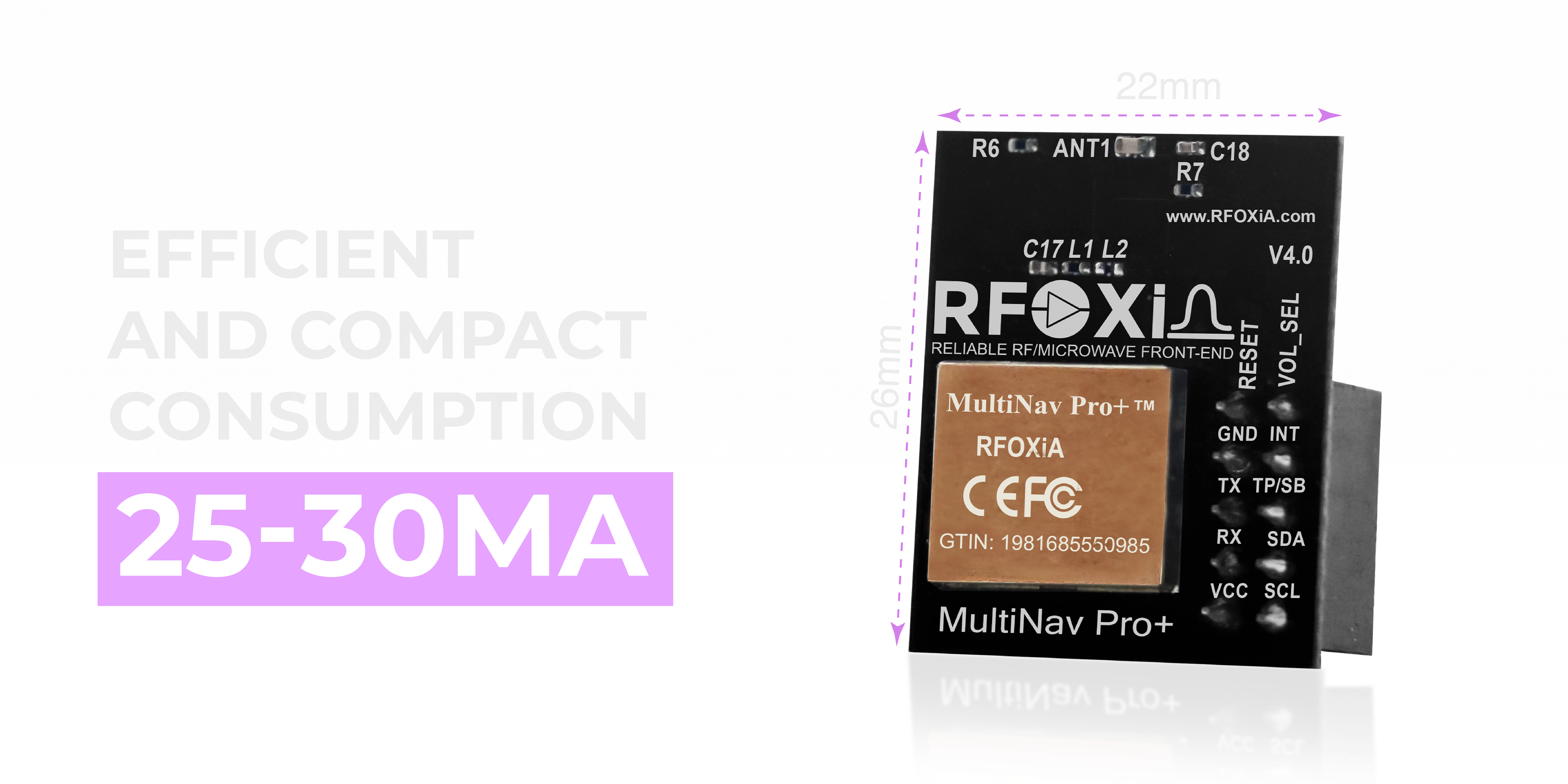
- Dimensions: 26mm x 22mm — genuinely compact for all-in-one integration
- Power consumption: 25-30mA during active multi-constellation tracking
- Integrated chip antenna: No external antenna required for standard deployments
- RF filtering: Proprietary RF/microwave microstrip filter technology minimizes interference and maximizes signal clarity
At 26mm x 22mm, the MultiNav Pro+ is compact enough to integrate into tight drone frames, wearable devices, compact IoT nodes, and miniaturized tracking hardware without compromise. The power draw of 25-30mA is efficient for continuous operation across extended missions, and the integrated chip antenna eliminates the mechanical complexity and reliability risks associated with external antenna connections on mobile platforms.
Interface and Voltage Options
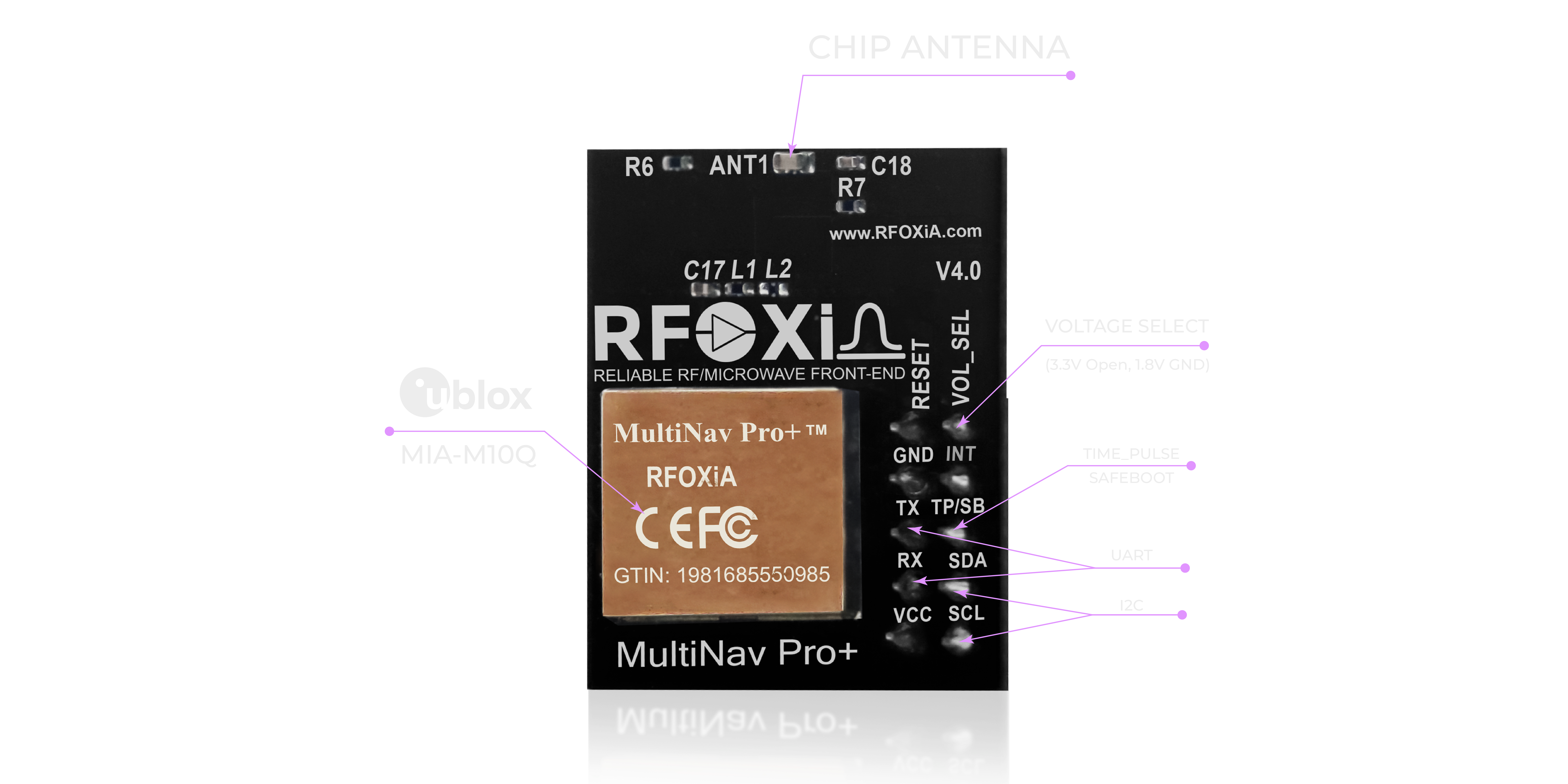
- Communication interfaces: UART (TX/RX) and I2C (SCL/SDA) — both supported
- Operating voltages: 1.8V and 3.3V — compatible with a wide range of microcontrollers and processors
- Protocol: NMEA standard output, configurable via UBX protocol
Dual interface support is a practical benefit that gets overlooked in module comparisons. If your flight controller, microcontroller, or SBC has an I2C bus occupied or a UART allocated to another peripheral, having both options available ensures you are never forced into a hardware redesign. The dual voltage support similarly makes the MultiNav Pro+ compatible with both 3.3V systems like STM32 and ESP32 and 1.8V systems common in modern application processors.
Open-Source Software Ecosystem
Ready-to-Use C Library
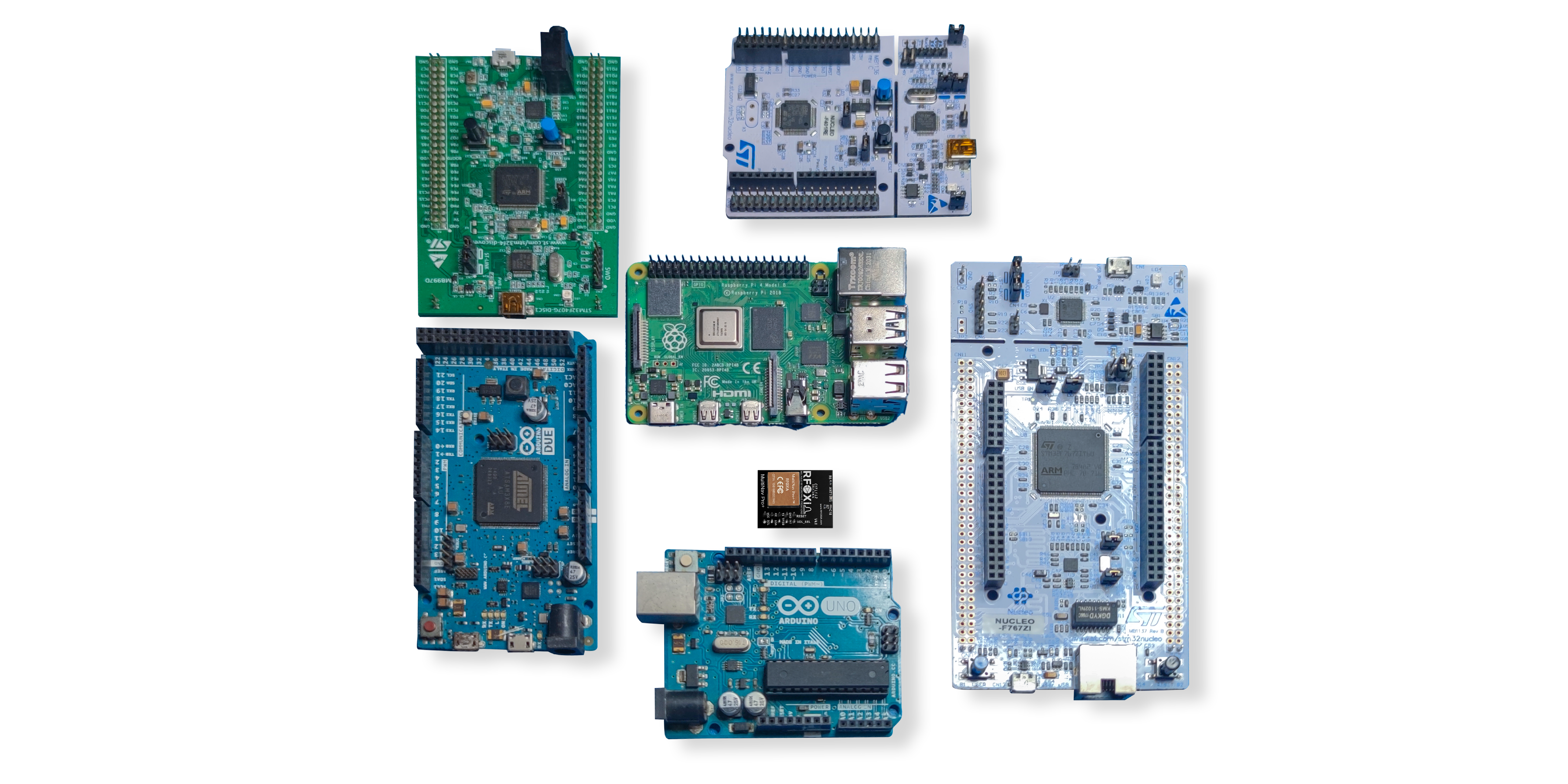
One of the most significant barriers to integrating a new GNSS module into an existing project is the software work required to parse raw GNSS output into usable position data. RFOXiA eliminates this barrier entirely with a fully open-source C language driver library that implements the NMEA standard protocol commands and exposes clean, easy-to-use functions for position, speed, heading, and fix quality data.
This library is designed for direct import into the Arduino IDE and is compatible with any C-based toolchain, including STM32CubeIDE, PlatformIO, ESP-IDF, and custom bare-metal environments. For makers and professional engineers alike, going from hardware connection to valid position data can be measured in minutes rather than days.
The open-source nature of the library means you own your integration completely. No black boxes, no licensing restrictions, no vendor lock-in.
u-center Software Integration
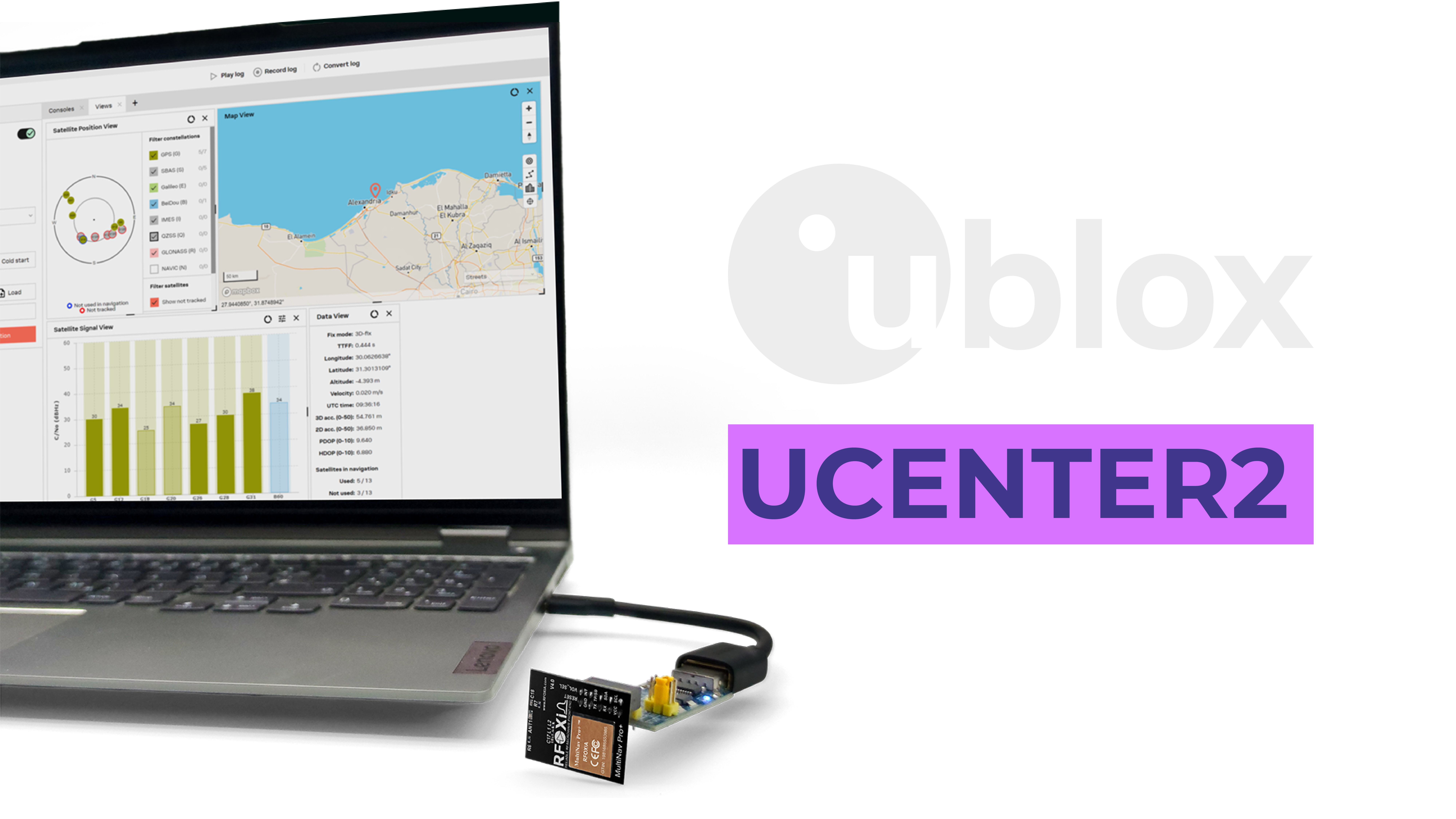
The MultiNav Pro+ is fully compatible with u-blox u-center, the industry-standard GNSS configuration and evaluation desktop application. u-center provides:
- Visual sky plot showing each visible satellite by constellation, elevation, and signal strength
- Real-time position tracking on an integrated map view
- Full UBX protocol configuration interface — adjust fix rates, constellation selection, power modes, and output formats without writing a single line of code
- Comprehensive data logging with replay capability
- Advanced signal analysis tools for diagnosing interference, multipath, or antenna placement issues
For drone builders performing pre-flight validation, researchers characterizing GNSS performance in specific environments, or engineers diagnosing unexpected position behavior, u-center is an invaluable tool — and its compatibility with the MultiNav Pro+ means you have professional diagnostic capability from day one.
Real-World Use Cases for the MultiNav Pro+

The MultiNav Pro+ is a truly versatile GNSS module for drones and far beyond. Here are the primary applications where its specifications deliver real competitive advantage:
Drone Navigation and Autonomous Flight
The combination of 18Hz fix rate and sub-1.5-meter accuracy makes the MultiNav Pro+ one of the most capable GNSS modules for drone applications in its price class. Autonomous waypoint navigation, return-to-home functions, precision hover, and coordinated multi-drone operations all benefit directly from both the accuracy and the update speed this module provides.
For FPV pilots, the high fix rate enables smooth, responsive position-hold behavior in GPS-assisted flight modes. For autonomous platform builders, the 1-second TTFF means vehicles are ready to fly almost immediately after power-on.
Precision Agriculture
Agricultural drone applications — variable-rate spraying, mapping, plant health assessment — require consistent position accuracy across entire field operations. The MultiNav Pro+, with its concurrent four-constellation support, maintains lock even in challenging open-field geometries where single-constellation modules struggle. Sub-1.5-meter accuracy is directly meaningful in precision agriculture: it determines whether spray nozzles activate over the correct crop rows and whether survey maps are actionable or unusable.
Asset Tracking and Fleet Management
Compact size, efficient power consumption, and standard communication interfaces make the MultiNav Pro+ ideal for battery-powered asset trackers. Whether tracking construction equipment, monitoring livestock, or building a personal GPS tracker for high-value assets, the module delivers professional-grade positioning in a form factor that fits almost any enclosure design.
IoT Environmental Monitoring Nodes
For RFOXiA users building data network nodes — deploying the Sensors Module outdoors to stream verified environmental data and earn daily rewards — the MultiNav Pro+ provides the GNSS validation required for the data monetization network. GPS coordinates are required to verify outdoor deployment and confirm the geographic origin of each data stream. Pairing the GNSS module with the Sensors Module and BLE Module creates a complete, verified outdoor monitoring node.
Research and Field Science
Universities, research institutions, and independent scientists regularly need compact, accurate positioning hardware that can be integrated into custom instrument platforms. The MultiNav Pro+'s open-source driver, standard interfaces, and u-center compatibility make it an ideal choice for field instrumentation, wildlife tracking, oceanographic buoys, and atmospheric research platforms.
How the MultiNav Pro+ Fits Into the RFOXiA Ecosystem
RFOXiA is not building isolated modules — it is building a vertically integrated wireless development ecosystem where every product is designed to work together more powerfully than any individual component could alone.
When you pair the MultiNav Pro+ with the RFOXiA BLE Module (which achieves 5km ground-to-ground range, 15-20km man-to-drone range, and 50km drone-to-drone range), you gain the ability to stream real-time GPS position data over long-range wireless links to the RFOXiA Connect mobile app — displaying live position on an integrated map without any internet connection, cellular towers, or subscription services.
For drone operators, this means complete situational awareness — knowing exactly where your aircraft is, tracking its GPS path on your phone, and commanding it over distances that no commodity BLE module can reach — all for a hardware investment that is a fraction of what professional systems cost.
For data network contributors, the GNSS module provides the geographic verification that unlocks daily earning rewards from RFOXiA's environmental data monetization network.
The Developer Bundle combines the GNSS Module, BLE Module, Sensors Module, and Power/Program Kit into one integrated package — the only product on the market that brings long-range wireless, precision GNSS, multi-sensor environmental monitoring, and professional power management together in a single, coherent ecosystem. Explore the RFOXiA Accurate GNSS Module and see how it integrates with the complete platform.
MultiNav Pro+ vs. Generic GNSS Modules: An Honest Comparison
The GNSS module market is flooded with inexpensive modules that quote impressive accuracy figures under ideal conditions and then quietly disappoint in practice. Here is what separates the MultiNav Pro+ from generic alternatives:
| Feature | Generic Modules | MultiNav Pro+ |
|---|---|---|
| Fix Rate | 1-5Hz typical | 18Hz |
| Accuracy | 2.5-5m typical | < 1.5m |
| TTFF | 30-60 seconds | 1 second |
| Constellations | GPS only or GPS+GLONASS | GPS + GLONASS + Galileo + BeiDou concurrent |
| Chipset | Unknown or discontinued | u-blox MIA-M10Q (latest gen) |
| Interface | UART only | UART + I2C |
| Voltage | 3.3V only | 1.8V and 3.3V |
| Open-Source Driver | Rarely included | Full C library, Arduino-ready |
| RF Filtering | None | Proprietary microstrip filter |
| Diagnostic Software | None | u-center compatible |
The performance gap is not marginal. For any application where position accuracy and update rate matter — which is most drone and IoT applications — these differences are the difference between a module that works in the field and one that does not.
Why FCC Certification Matters for Your GNSS Module
The MultiNav Pro+ carries FCC certification, which matters for two critical reasons:
First, it means the module has been tested and verified to meet electromagnetic compatibility and RF emission standards required for legal sale and use in the United States. This protects you from regulatory risk and ensures the module will not interfere with other sensitive electronics in your build.
Second, FCC certification is a quality signal. The certification process requires rigorous testing by accredited laboratories. Modules that carry this certification have been through a validation process that generic modules from unverified sources have not. When you are building a commercial product or a research platform that others will depend on, that certification matters.
All four RFOXiA modules — the GNSS Module, BLE Module, Sensors Module, and Power/Program Kit — carry FCC certification. This makes the full ecosystem eligible for distribution through professional channels including DigiKey, Mouser, and other major electronics distributors.
Getting Started with the MultiNav Pro+
Integrating the MultiNav Pro+ into your project is designed to be straightforward from the moment you open the package:
- Connect power — 3.3V or 1.8V depending on your system
- Connect communication — UART or I2C, your choice based on available peripherals
- Import the open-source C library — compatible with Arduino IDE and any C toolchain
- Validate with u-center — connect via USB-UART adapter to verify satellite acquisition and signal quality
- Stream position data — start receiving NMEA sentences within seconds of acquiring satellite lock
Each MultiNav Pro+ ships with a Quick Start Guide to accelerate integration further. The combination of ready-made library code, u-center compatibility, and a comprehensive getting-started guide means your first successful position fix is achievable in under 30 minutes from opening the box.
If you are building within the RFOXiA ecosystem, the module integrates directly with the AI Firmware Builder inside RFOXiA Club — describe your drone navigation or tracking application in plain language, and the AI generates production-ready firmware that interfaces with the MultiNav Pro+ from the start.
The Bottom Line: Precision Navigation That Drone Builders Can Actually Afford
For too long, the choice in GNSS modules has been binary: accept the limited performance of budget modules, or pay thousands of dollars for professional-grade systems. The MultiNav Pro+ breaks that dichotomy.
At $49, it delivers u-blox chipset performance, 18Hz fix rate, sub-1.5-meter accuracy, concurrent four-constellation support, dual interface options, open-source drivers, and u-center compatibility — hardware that professional drone engineers, researchers, and IoT developers can build on with confidence.
This is what RFOXiA means by democratizing connectivity and computing power. Technology that was previously available only to organizations with military or enterprise budgets, made accessible to every builder, engineer, and innovator who needs it.
If you are ready to upgrade your navigation hardware and join a community of builders pushing what wireless and positioning technology can do, the RFOXiA Accurate GNSS Module is available now, FCC certified, and ready to ship.
Frequently Asked Questions
What drone flight controllers is the MultiNav Pro+ compatible with? The MultiNav Pro+ outputs standard NMEA protocol over UART, which is compatible with ArduPilot, Betaflight, iNav, PX4, and virtually any flight controller that accepts serial GNSS input. I2C connectivity adds further compatibility for custom and embedded builds.
Does the MultiNav Pro+ work indoors? Like all passive GNSS receivers, the MultiNav Pro+ requires a clear view of the sky to receive satellite signals. Indoor environments block satellite signals. For indoor positioning requirements, RFOXiA's BLE Module provides relative position and range data.
Can I use the MultiNav Pro+ with an Arduino? Yes. The open-source C library is designed for direct import into the Arduino IDE. Connection is via UART using the TX and RX pins, and the library handles all NMEA parsing automatically.
How does the MultiNav Pro+ integrate with the RFOXiA data network? When deployed outdoors alongside the RFOXiA Sensors Module, the MultiNav Pro+ provides the GPS coordinates required to verify outdoor deployment and geographic origin for the environmental data monetization network. Verified nodes earn daily rewards for contributing environmental data.
Is there a bulk or volume pricing option? For volume orders and research institution purchasing, contact RFOXiA directly through the Club platform. The GNSS Module is also included in the Developer Bundle at significant savings compared to individual module pricing.
Ready to build with precision? Explore the MultiNav Pro+ GNSS Module and join the RFOXiA ecosystem today.
Written by: Moamen Mohamed LinkedIn