
GNSS vs GPS Module Difference: What Every Developer Must Know
Understanding the GNSS vs GPS Module Difference Before You Build
If you have ever searched for a navigation module for your drone, robotics project, or IoT device, you have almost certainly encountered two terms used interchangeably: GPS and GNSS. But they are not the same thing — not even close. Understanding the true GNSS vs GPS module difference is not just academic trivia. It directly determines the accuracy, reliability, and availability of positioning data in your application. Get it wrong and your drone drifts. Your tracker loses signal under a bridge. Your precision agriculture robot plows the wrong row.
This guide breaks down exactly what separates GPS from GNSS, why modern hardware has moved far beyond GPS-only, and what specifications you should actually care about when choosing a navigation module for professional development work.
What Is GPS?
GPS — the Global Positioning System — is a satellite navigation system built, operated, and maintained by the United States government. It consists of a constellation of approximately 31 operational satellites orbiting at roughly 20,200 kilometers altitude. Receivers on the ground (or in the air) triangulate their position by measuring the time signals take to arrive from at least four satellites simultaneously.
GPS was revolutionary when it was opened for civilian use. For a long time, "GPS module" and "navigation module" meant the same thing to most developers. If you needed location data, you bought a GPS module.
The problem is that GPS alone has real limitations:
- Geometric dilution of precision (GDOP): When the satellites visible to your receiver are clustered together in one part of the sky, accuracy degrades. GPS alone cannot guarantee ideal satellite geometry at all times and locations.
- Signal availability: In urban canyons, dense forests, or mountainous terrain, buildings and terrain block GPS signals. With only one constellation to draw from, your receiver may not have enough visible satellites to maintain a fix.
- Accuracy ceiling: Consumer GPS receivers typically achieve 3 to 5 meter accuracy. Professional RTK-augmented GPS can do better, but standalone GPS has a hard limit.
- Cold start time: Without access to a wide pool of satellites, initial fix acquisition can take 30 to 60 seconds or longer.
For casual navigation, these limitations are manageable. For drone autonomy, precise asset tracking, precision agriculture, or research-grade data collection, they are unacceptable.
What Is GNSS?
GNSS stands for Global Navigation Satellite System. It is the umbrella term for all satellite navigation systems worldwide. GPS is one GNSS. But there are three others that are fully operational and widely used:
- GLONASS — Russia's satellite navigation system, approximately 24 operational satellites
- Galileo — The European Union's system, approximately 28 operational satellites, high accuracy focus
- BeiDou — China's system, approximately 35 satellites, particularly strong coverage in Asia-Pacific
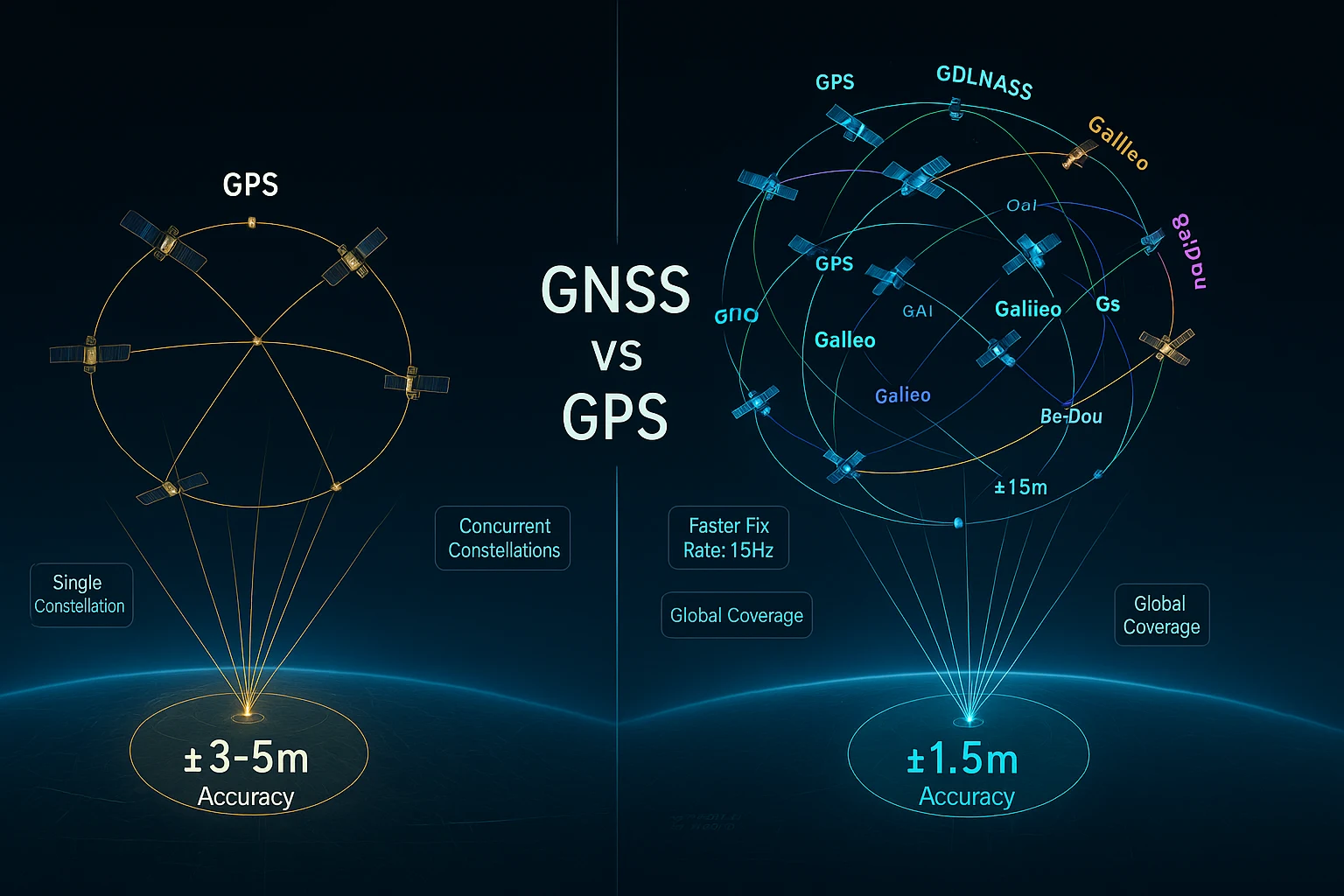
A GNSS module is a receiver capable of processing signals from multiple constellations simultaneously. Instead of being limited to 31 GPS satellites, a multi-constellation GNSS receiver can see up to 100+ satellites at any given moment depending on location.
This is the core GNSS vs GPS module difference that matters for engineers:
| Feature | GPS Only | Multi-Constellation GNSS |
|---|---|---|
| Available satellites (typical) | 8 to 12 | 20 to 40+ |
| Accuracy (standalone) | 3 to 5 meters | 1.5 meters or better |
| Time to first fix | 30 to 60 seconds cold | Under 1 second hot |
| Urban canyon performance | Poor | Good |
| Redundancy if satellites blocked | None | Switches constellations |
| Signal availability worldwide | Good | Excellent |
Why the GNSS vs GPS Module Difference Matters for Your Application
Let's make this concrete. Here is how the difference plays out in real development scenarios:
Drone Autonomy and Waypoint Navigation
A drone flying autonomous waypoint missions needs continuous, reliable positioning. If the GPS module loses its fix because the drone banks and the antenna angle changes, or because a building blocks several satellites, the flight controller may enter failsafe mode or drift unpredictably.
A GNSS module receiving from four constellations concurrently maintains far more satellite contacts at all times. Even if GPS signals degrade, Galileo and GLONASS signals compensate. The fix stays solid. The mission continues.
High-Speed Tracking
For FPV racing drones or any fast-moving platform, update rate matters as much as accuracy. A 1Hz GPS update means your position estimate is potentially one second old. At 60 km/h, that is a 16-meter positional error just from latency.
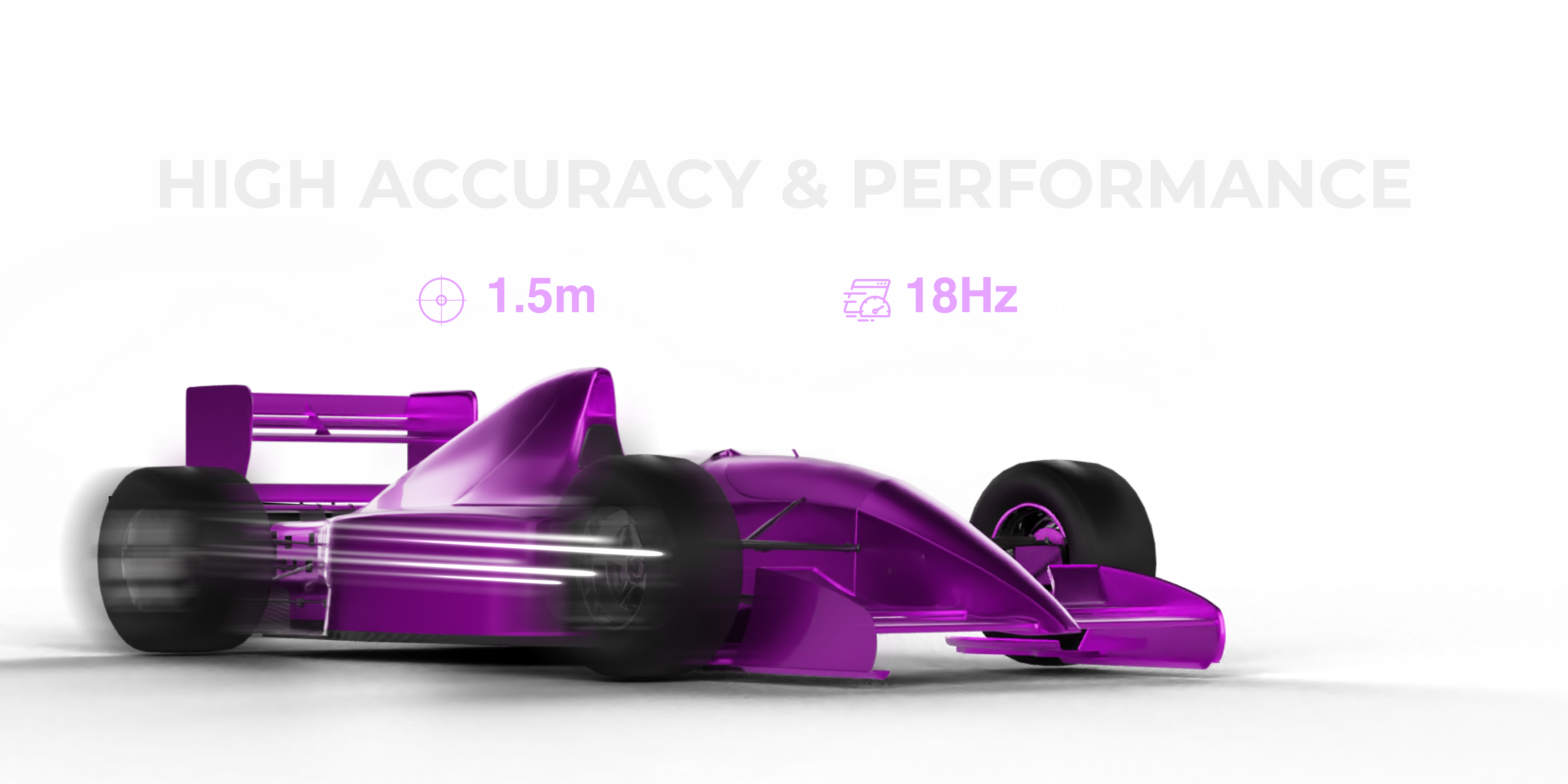
Modern GNSS modules can operate at 10Hz, 18Hz, or higher. The RFOXiA Accurate GNSS Module achieves an 18Hz fix rate — delivering position updates 18 times per second, reducing latency-induced error to under 1 meter even at high speeds.
IoT Asset Tracking
An asset tracker mounted inside a shipping container, on a vehicle moving through a city, or attached to equipment in a partially covered yard needs to maintain lock in challenging signal environments. GNSS multi-constellation operation provides the satellite redundancy to keep the fix alive where GPS alone would fail.
Research and Data Collection
If you are collecting GPS-verified environmental data — as in the RFOXiA data network, where sensor modules stream outdoor-verified readings — the location tag attached to each data point needs to be accurate and reliable. A 1.5-meter GNSS fix paired with environmental sensor data creates a hyper-local, GPS-verified dataset. A 5-meter GPS estimate blurs that spatial resolution significantly.
Key Specifications to Evaluate in a GNSS Module
Now that you understand the GNSS vs GPS module difference, here are the specifications that actually determine whether a module performs in the real world:
1. Accuracy (CEP)
Measured in meters at Circular Error Probable (CEP, usually 50%). A 1.5-meter CEP means 50% of your position fixes are within 1.5 meters of the true position. Look for modules achieving sub-2-meter standalone accuracy without requiring external correction signals.
2. Fix Rate (Hz)
How many position updates per second the module outputs. 1Hz is standard for static applications. 10Hz+ is required for dynamic platforms. 18Hz is professional-grade for high-speed drones and racing applications.
3. Time to First Fix (TTFF)
How long from cold start to first valid position. Sub-second hot start is achievable on modern modules. 1-second TTFF matters enormously when your system powers up and needs immediate location data.
4. Constellation Support
At minimum: GPS + GLONASS for most global applications. GPS + GLONASS + Galileo + BeiDou gives the broadest satellite pool and best performance worldwide.
5. Chipset
The underlying silicon determines most of the performance. u-blox is the industry benchmark for professional GNSS modules. Their M10 series represents a significant improvement in sensitivity, power consumption, and concurrent constellation tracking.
6. Antenna Integration
External patch antennas offer maximum gain but require additional design. Integrated chip antennas enable compact form factors without sacrificing reception quality for most use cases.
7. Interface
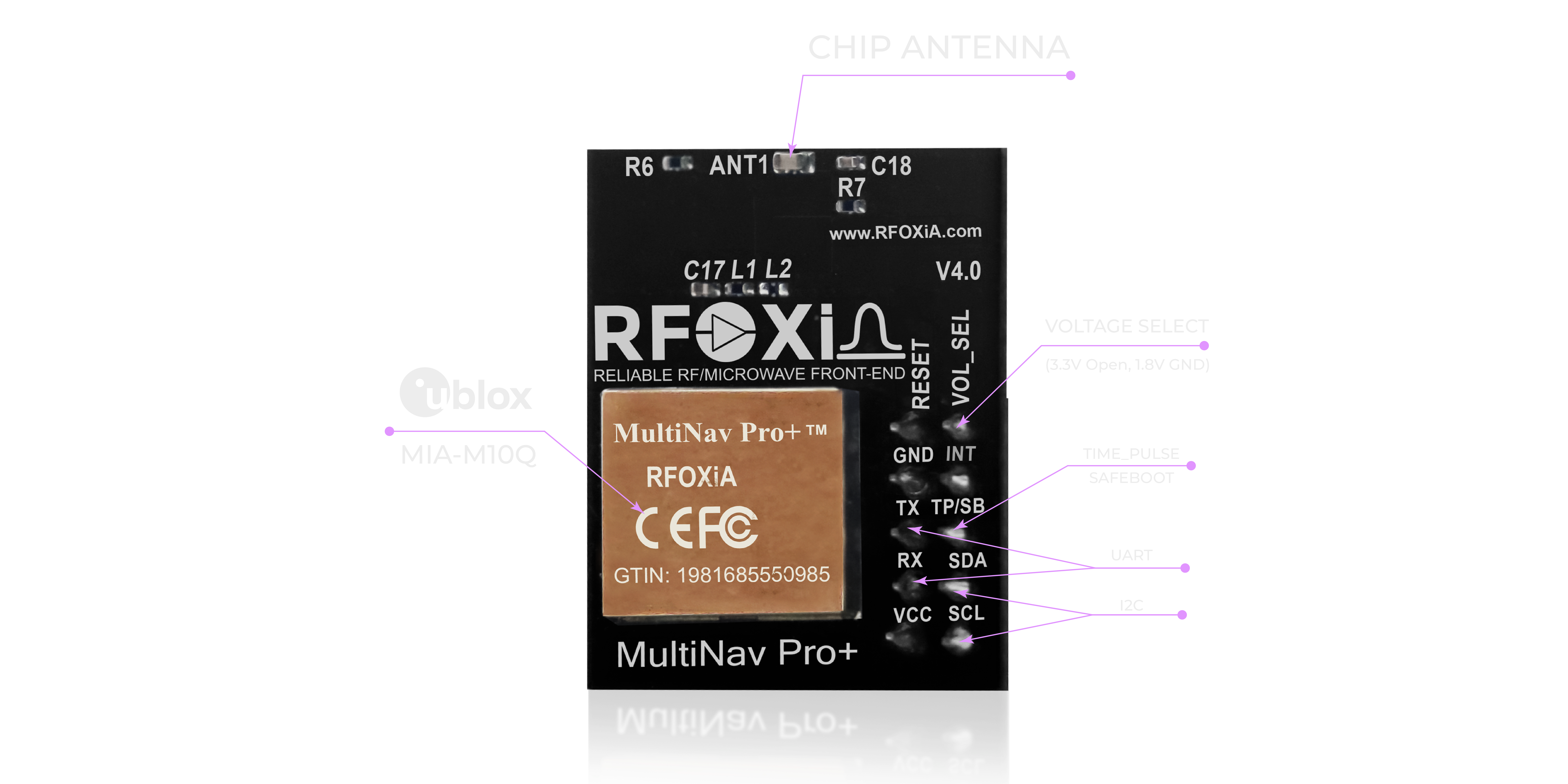
UART is universal and simple. I2C enables daisy-chaining and reduces pin count in multi-sensor designs. Modules supporting both give maximum flexibility.
8. Power Consumption
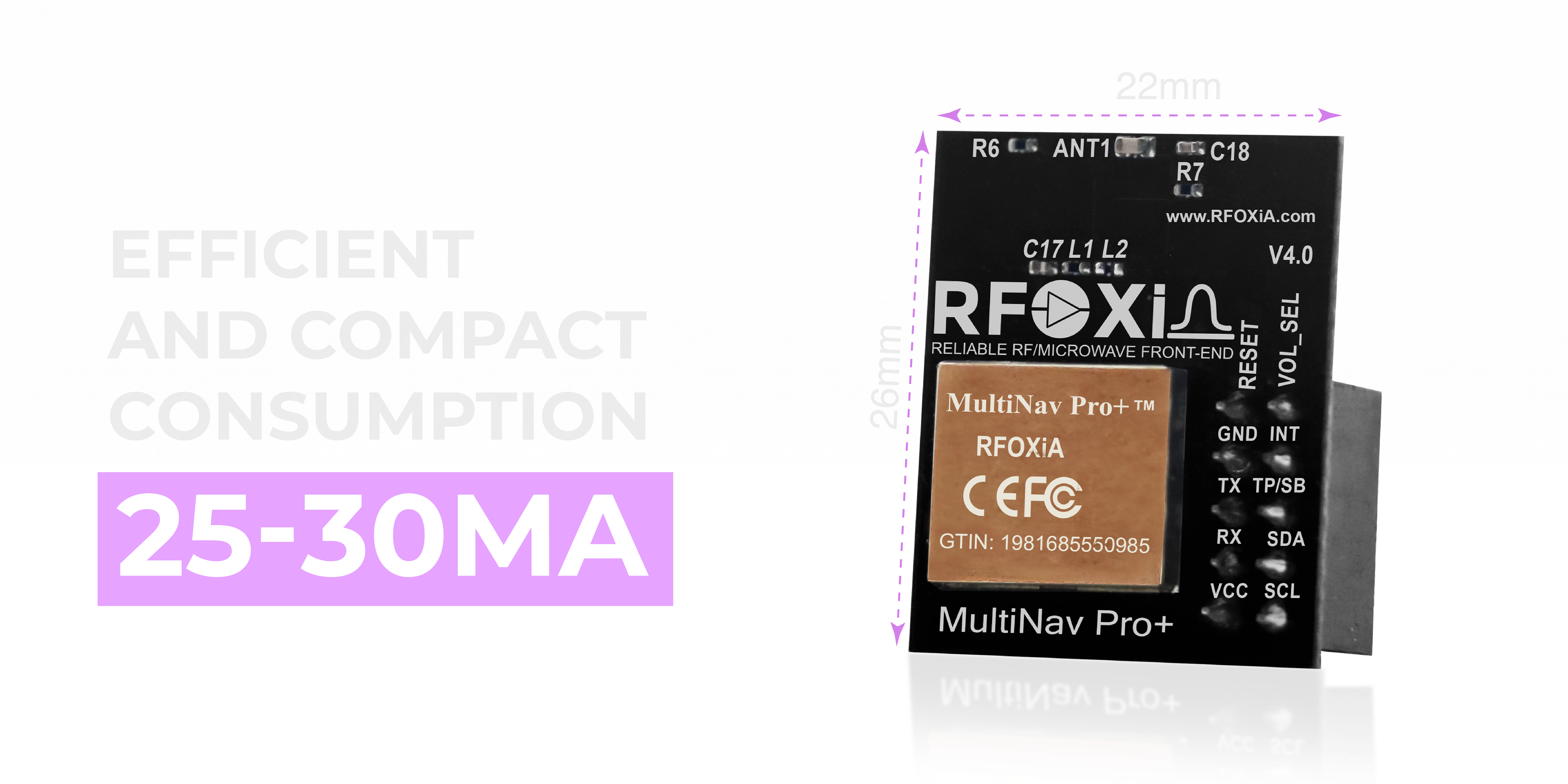
Critical for battery-powered applications. Professional multi-constellation modules should operate at 25-30mA — enough to run continuously on small battery or supercapacitor systems.
Interface Options: UART vs I2C
One practical aspect of the GNSS vs GPS module difference that developers often overlook is the interface flexibility of modern GNSS modules compared to older GPS-only hardware.
Legacy GPS modules often shipped with UART only, requiring dedicated serial ports and making integration into I2C-heavy microcontroller designs awkward. Modern GNSS modules designed for maker and professional use support both UART and I2C:
- UART (TX/RX): Direct serial stream of NMEA sentences. Simple to implement, works with every microcontroller, easy to debug with a serial monitor. Best for single-module designs.
- I2C (SCL/SDA): Allows the GNSS module to share a bus with other sensors. Two wires instead of four. Enables cleaner PCB routing in multi-sensor designs. Best when your project already has multiple I2C peripherals.
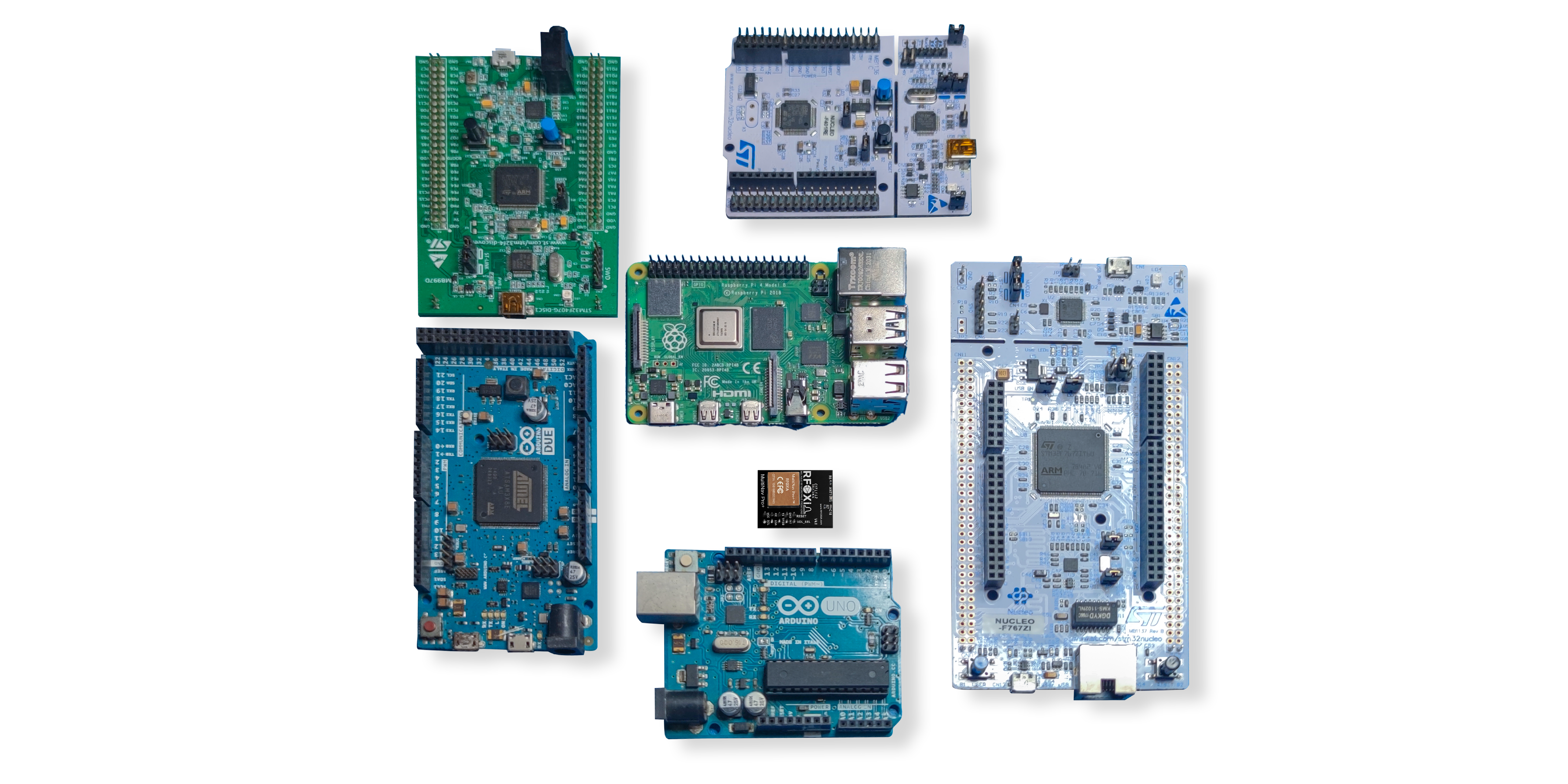
The MultiNav Pro+ supports both, operating at 1.8V and 3.3V logic levels — making it compatible with virtually every microcontroller platform from STM32 to ESP32 to Arduino.
Open Source Firmware and Software Tools
Hardware specs are only half the story. Integration speed matters enormously in hardware development. A GNSS module that requires months of firmware work to extract NMEA sentences defeats the purpose of using a module over a raw chipset.
The MultiNav Pro+ ships with a fully open-source C language library. The library implements NMEA standard protocol commands and is designed to import directly into Arduino IDE or any standard IDE toolchain. This means from unboxing to first fix output can be a matter of hours rather than weeks.
For professional evaluation and satellite visualization, u-blox provides u-center software — a desktop GUI that communicates directly with any u-blox-based GNSS module via UART. u-center allows you to:
- Visualize individual satellite signal strengths and sky positions
- Monitor live track movement on a map
- Configure GNSS parameters and output rates
- Log raw GNSS data for post-processing
- Evaluate positioning performance before integrating into your firmware

This combination of open-source firmware library and professional desktop tooling means the MultiNav Pro+ works equally well for rapid prototyping and production development.
Real-World Applications Where GNSS Outperforms GPS Alone
To close the loop on the GNSS vs GPS module difference, here is where it translates directly to better application outcomes:
Drones: Faster fix acquisition, higher update rates for dynamic control, maintained lock during aggressive maneuvers and orientation changes.
IoT Wearables: Smaller form factor, lower power, maintained lock in urban environments where GPS-only devices struggle.
Precision Agriculture: Sub-2-meter accuracy enables row-level tracking for autonomous equipment without expensive RTK correction infrastructure.
Asset Tracking: Multi-constellation redundancy keeps containers, vehicles, and equipment trackable through signal-challenging environments.
Research Instrumentation: High fix rate and accuracy produce research-grade spatial data without expensive dedicated survey equipment.
Automotive and Logistics: Real-time high-update positioning for fleet management, routing, and condition monitoring.

The MultiNav Pro+: A GNSS Module Built for Developers Who Need Real Performance
The MultiNav Pro+ from RFOXiA was designed around what professional hardware developers actually need — not what commodity module makers can produce cheaply.
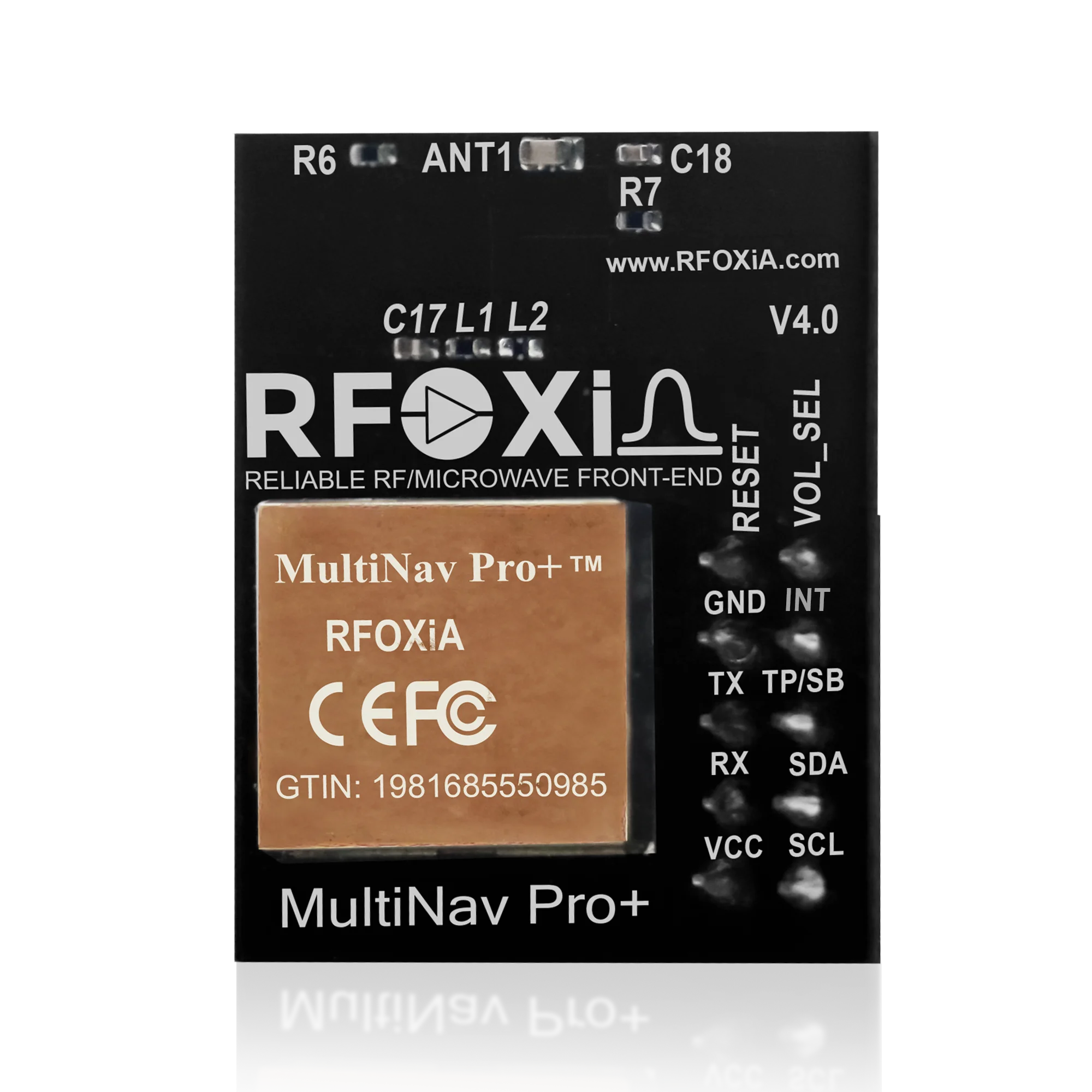
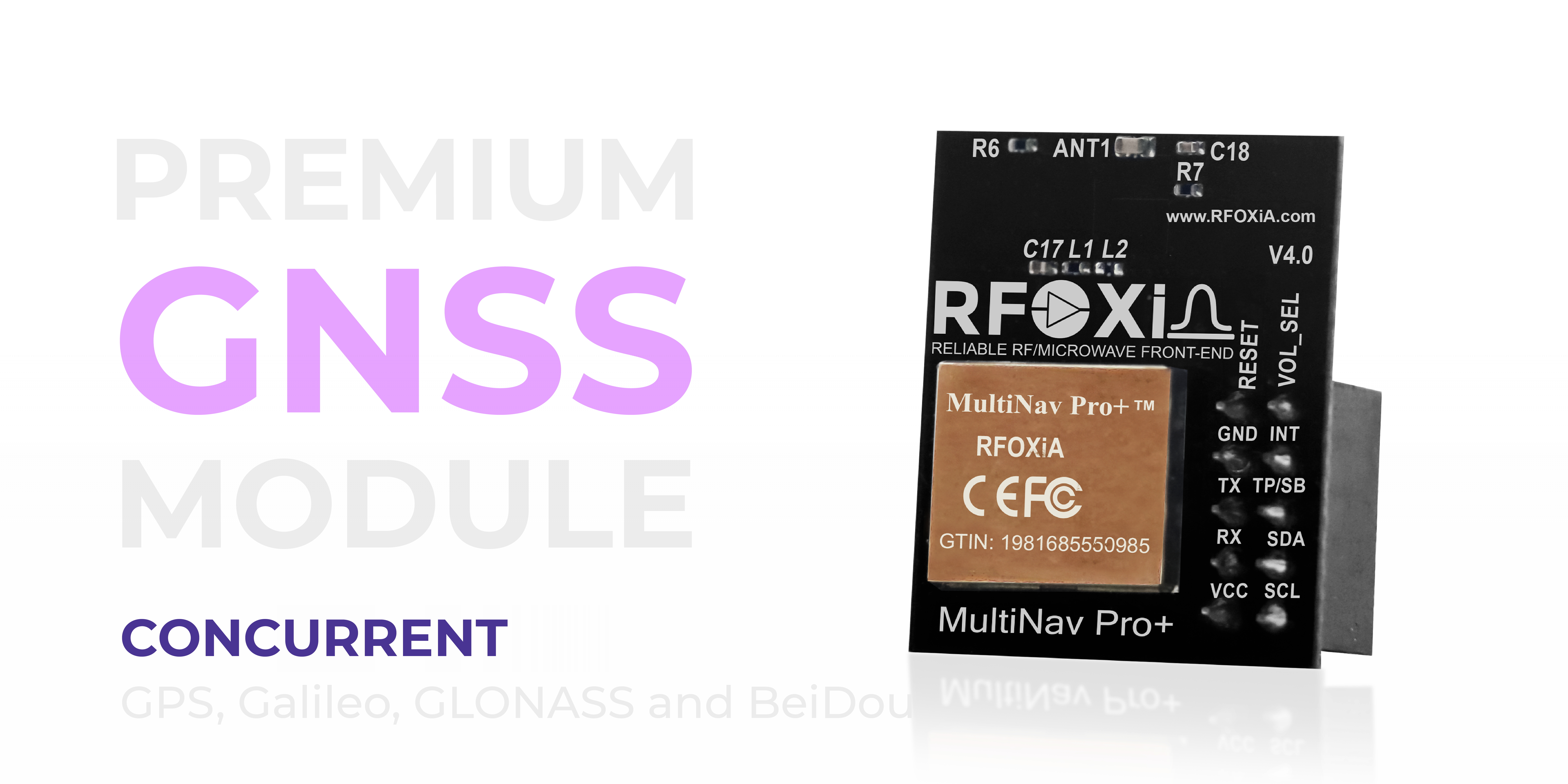
Built on the u-blox MIA-M10Q — one of the most advanced compact GNSS chips available — the MultiNav Pro+ delivers:
- 1.5-meter accuracy — sub-2-meter standalone positioning without correction networks
- 18Hz fix rate — 18 position updates per second for high-speed and dynamic applications
- First fix in 1 second — immediate positioning on power-up
- Concurrent GPS + Galileo + GLONASS + BeiDou — full four-constellation support for maximum satellite availability worldwide
- Integrated high-gain chip antenna — compact 26mm x 22mm footprint with no external antenna required
- UART and I2C — both interfaces supported at 1.8V and 3.3V logic
- 25-30mA power consumption — field-deployable on battery or supercapacitor power systems
- Open-source C library — ready for Arduino IDE and any standard toolchain
- FCC certified — production-ready for commercial applications
At $49, the MultiNav Pro+ fills a gap that has frustrated developers for years: a professional-grade GNSS module at a price point accessible to independent builders and small teams.
If you are evaluating navigation modules for your next project and the GNSS vs GPS module difference is part of your decision criteria, the MultiNav Pro+ delivers on the specs that matter. Explore it at the RFOXiA Accurate GNSS Module product page.
Summary: GNSS vs GPS Module Difference
The simplest way to remember it:
- GPS is a single system built by one country with one constellation of satellites.
- GNSS is a category that includes GPS, GLONASS, Galileo, and BeiDou — and a GNSS module receives from all of them simultaneously.
- GNSS modules outperform GPS-only modules in accuracy, fix speed, satellite availability, and reliability in challenging environments.
- For any serious application — drones, IoT, robotics, research, tracking — you want a GNSS module, not a GPS-only module.
- Chipset, fix rate, accuracy, interface, and power consumption are the specifications that determine real-world performance.
The difference is not marketing language. It is physics, geometry, and signal redundancy. More satellites, better geometry, better position. That is the GNSS advantage.
If you are building something that depends on knowing exactly where it is — or where it has been — the module underneath that application deserves the same engineering attention as everything else in your design.
Ready to integrate professional-grade GNSS into your next project? The RFOXiA MultiNav Pro+ GNSS Module is FCC certified, in stock, and ships with open-source firmware ready to drop into your toolchain.
Written by: Moamen Mohamed LinkedIn