
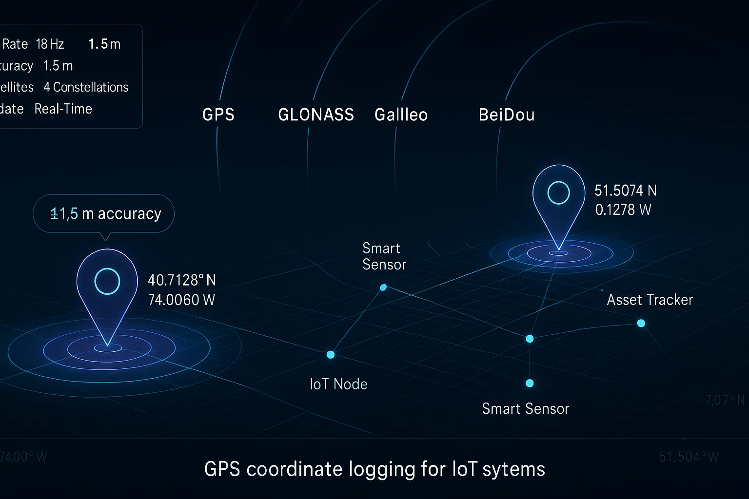
GPS Coordinate Logging IoT: The Ultimate Guide to Precision Tracking
Why GPS Coordinate Logging IoT Projects Demand More Than Commodity Modules
If you have ever tried to build a serious GPS coordinate logging IoT application using a cheap commodity GNSS module, you already know the frustration. Coordinates that drift by 5 to 10 meters. Fix rates so slow that a fast-moving drone is three positions ahead of what your logger recorded. Multi-constellation support that exists on paper but fails in practice when you step outside a city center. These are not edge cases. They are the daily reality for engineers and makers trying to build real-world IoT systems on hardware that was never designed for professional performance.
The demand for accurate, high-speed GPS coordinate logging in IoT applications is accelerating. Precision agriculture, autonomous drone systems, environmental monitoring networks, asset tracking, wearable research platforms, and smart city infrastructure all depend on knowing exactly where a device is, updated fast enough to be useful, and reliable enough to trust. The gap between what commodity modules deliver and what serious IoT applications actually need has never been wider.
This guide covers everything you need to know about GPS coordinate logging IoT: what specifications actually matter, how to evaluate GNSS modules for real-world deployment, and how the MultiNav Pro+™ from RFOXiA closes the performance gap that has been holding makers and professional developers back.
What Is GPS Coordinate Logging in IoT?
GPS coordinate logging in IoT refers to the continuous or triggered capture, storage, and transmission of geographic location data from an embedded device. Unlike a smartphone app that logs a waypoint every few seconds, a professional IoT GPS logger needs to:
- Capture coordinates at high update rates — for drone tracking, vehicle telematics, or sports performance, you need 10Hz to 18Hz or faster.
- Maintain sub-2-meter accuracy — especially for applications like precision agriculture, surveying, and scientific research where a 5-meter drift can invalidate an entire dataset.
- Lock onto satellites quickly — a one-second Time To First Fix (TTFF) is the professional standard. Waiting 30 seconds for a fix is unacceptable in autonomous systems.
- Support multiple satellite constellations — GPS alone gives you 31 satellites. Adding Galileo, GLONASS, and BeiDou expands that to 100+ satellites globally, dramatically improving coverage in urban canyons, dense forests, and polar regions.
- Operate efficiently on embedded power budgets — IoT devices are frequently battery-powered. A module that draws 100mA is a non-starter for field deployment.
When you build a GPS coordinate logging IoT system with the right hardware, you unlock applications that simply are not possible with commodity-grade modules. When you build with the wrong hardware, you spend weeks debugging positioning drift and fighting for satellite lock instead of shipping your product.
The MultiNav Pro+: Professional GNSS for Every Builder
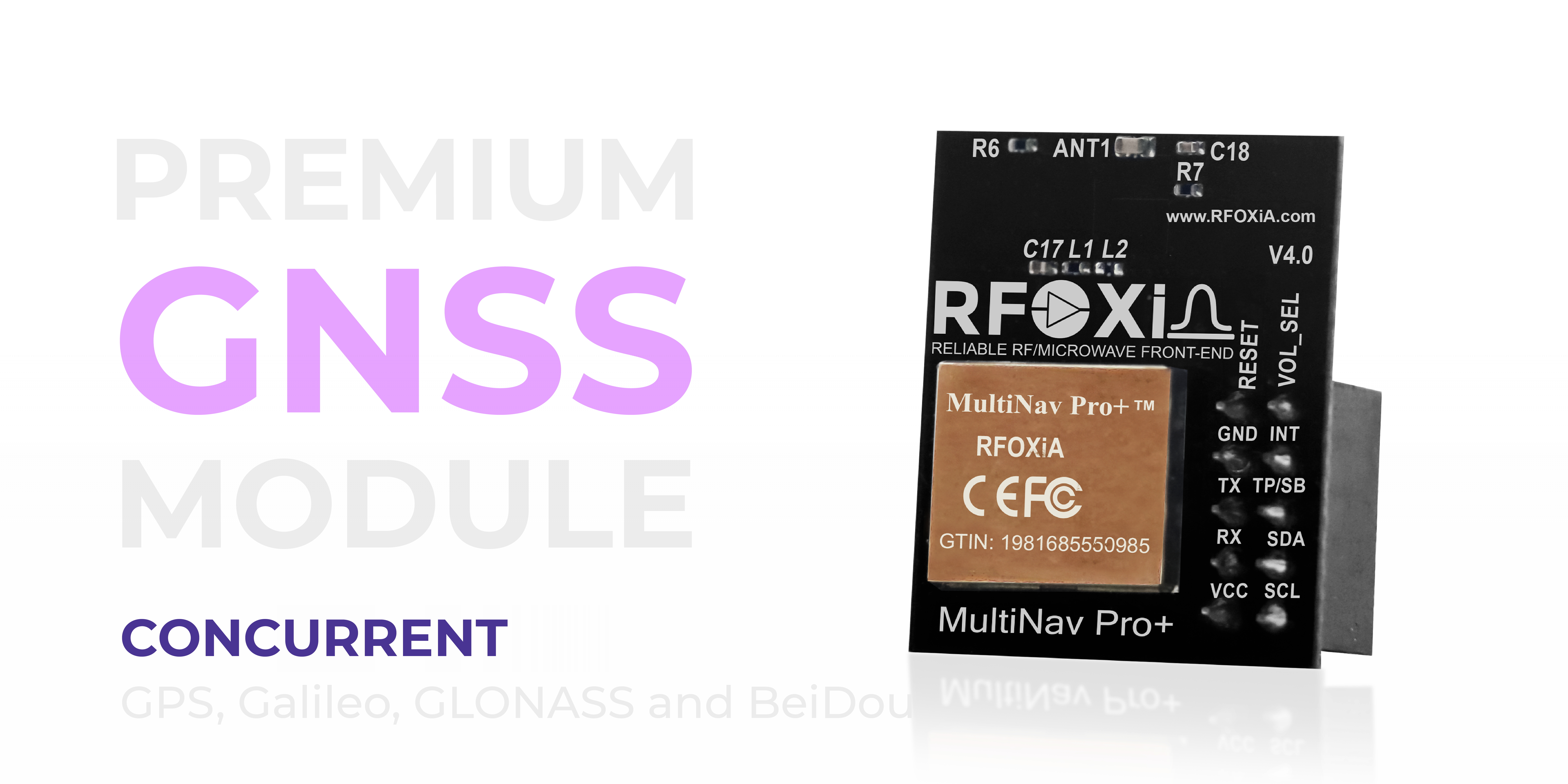
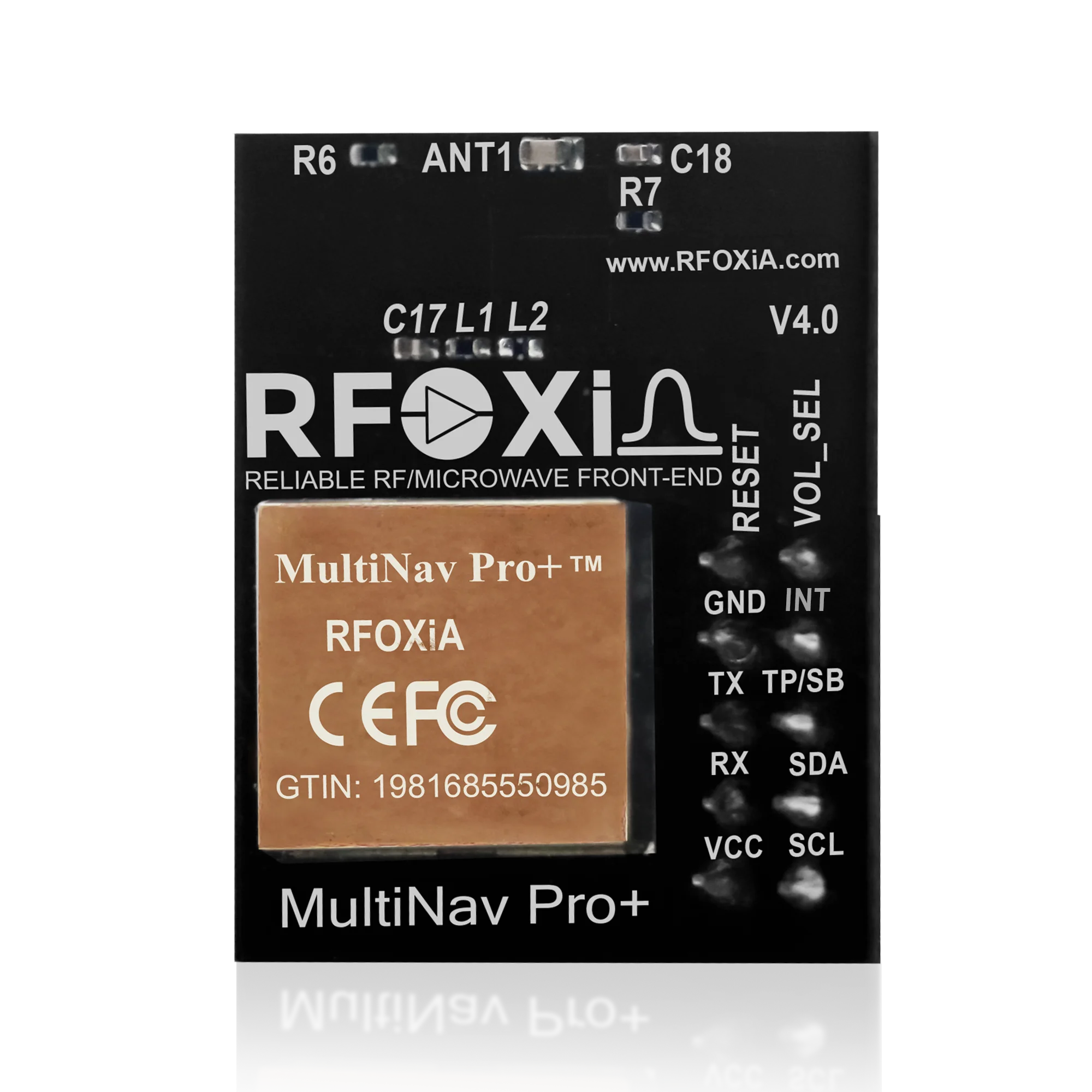
The MultiNav Pro+™ is RFOXiA's precision GNSS module, designed specifically for makers, engineers, and developers who need professional positioning performance without the professional price tag. Built around the u-blox MIA-M10Q — one of the most advanced GNSS chipsets currently available — the MultiNav Pro+ delivers specifications that were previously only achievable in enterprise or industrial hardware costing hundreds of dollars per unit.
At $49, it is the most capable GNSS module available at this price point. Here is why.
Key Specifications That Matter for GPS Coordinate Logging IoT
1.5-Meter Accuracy and 18Hz Fix Rate
These two numbers define the practical capability ceiling of any GPS coordinate logging IoT system.
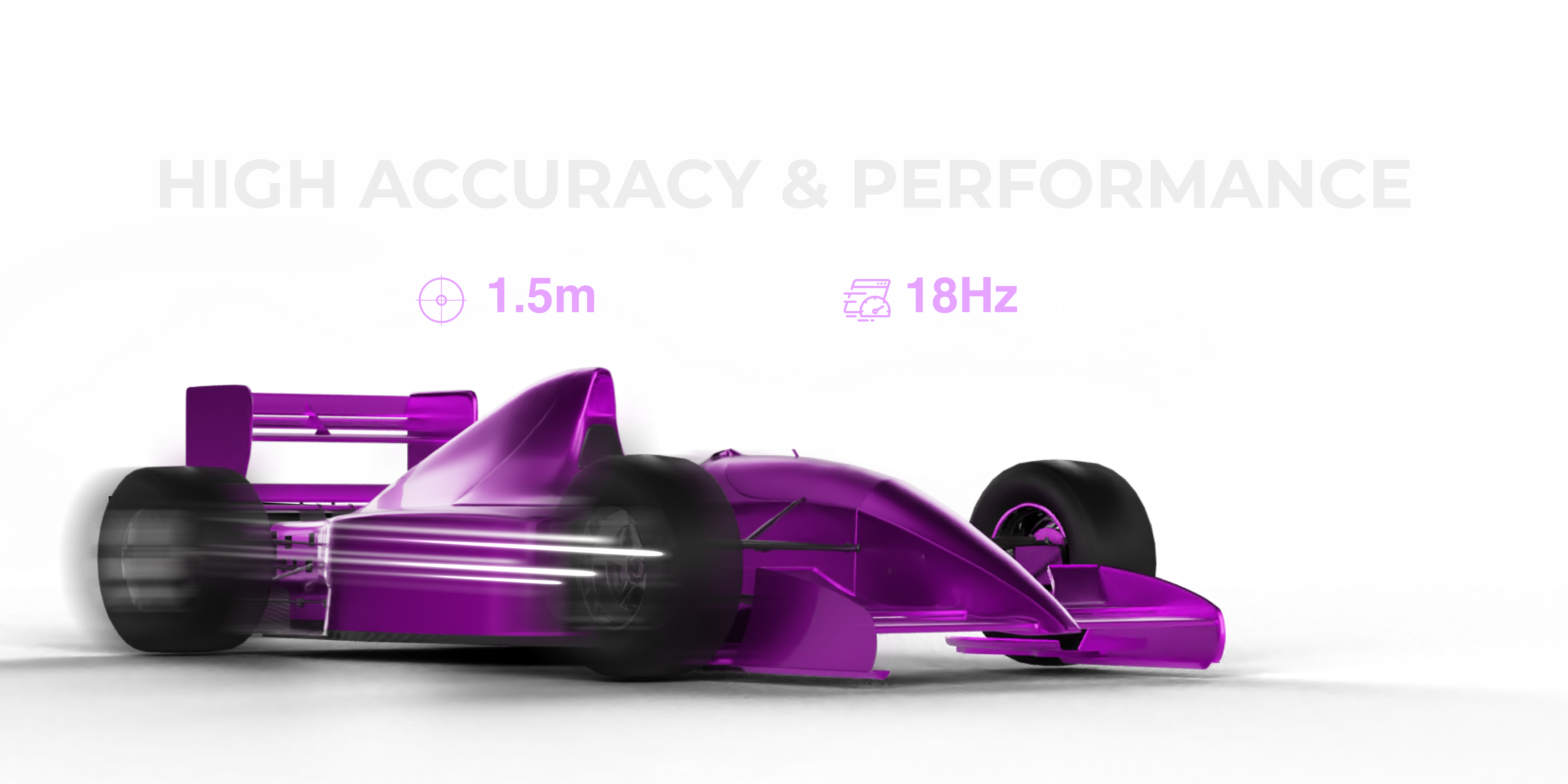
1.5-meter accuracy means your logged coordinates are within 1.5 meters of the device's true position under open sky conditions. For comparison, many low-cost modules specify 2.5 to 5 meters CEP (Circular Error Probable), which sounds acceptable until you realize that CEP is a statistical measure — half your points will fall outside that radius. The MultiNav Pro+ achieves sub-1.5 meter accuracy consistently, making it suitable for precision applications.
18Hz fix rate means 18 position updates per second. This is critical for tracking fast-moving platforms. A drone traveling at 80 km/h covers 1.3 meters between each update at 10Hz. At 18Hz, that drops to 1.2 meters per update cycle — and combined with 1.5-meter accuracy, you get a GPS log that actually reflects the path flown, not a blurry approximation of it.
For GPS coordinate logging IoT applications on slow-moving assets like soil sensors or weather stations, high fix rates reduce power consumption because you can duty-cycle the module more aggressively. For fast-moving applications like drones, FPV aircraft, and vehicles, 18Hz is simply the minimum you should accept.
First fix in 1 second eliminates the multi-minute cold start delays common in cheaper modules. In autonomous drone systems, waiting for GPS lock before takeoff is a safety-critical delay. One second changes the operational workflow entirely.
Concurrent Multi-Constellation Support: GPS, Galileo, GLONASS, BeiDou
Not all GPS coordinate logging IoT deployments happen in ideal open-sky conditions. Urban environments, dense agricultural regions, mountainous terrain, and polar applications all present satellite geometry challenges that single-constellation GPS cannot solve reliably.
The MultiNav Pro+ connects simultaneously to all four major global navigation satellite systems:
- GPS — 31 operational satellites, US-operated, global coverage
- Galileo — 28+ satellites, European system, sub-meter capable in some modes
- GLONASS — 24 satellites, Russian system, excellent polar coverage
- BeiDou — 45+ satellites, Chinese system, strongest coverage across Asia-Pacific
By combining all four constellations simultaneously, the module has access to 100+ satellites at any given moment anywhere on Earth. This dramatically improves satellite geometry (measured as PDOP — Position Dilution of Precision), which directly translates to better accuracy and faster, more reliable fixes in challenging environments.
For GPS coordinate logging IoT applications deployed in agricultural fields, industrial sites, or international locations, multi-constellation support is not a luxury — it is a reliability requirement.
Compact Footprint with Integrated High-Gain Chip Antenna
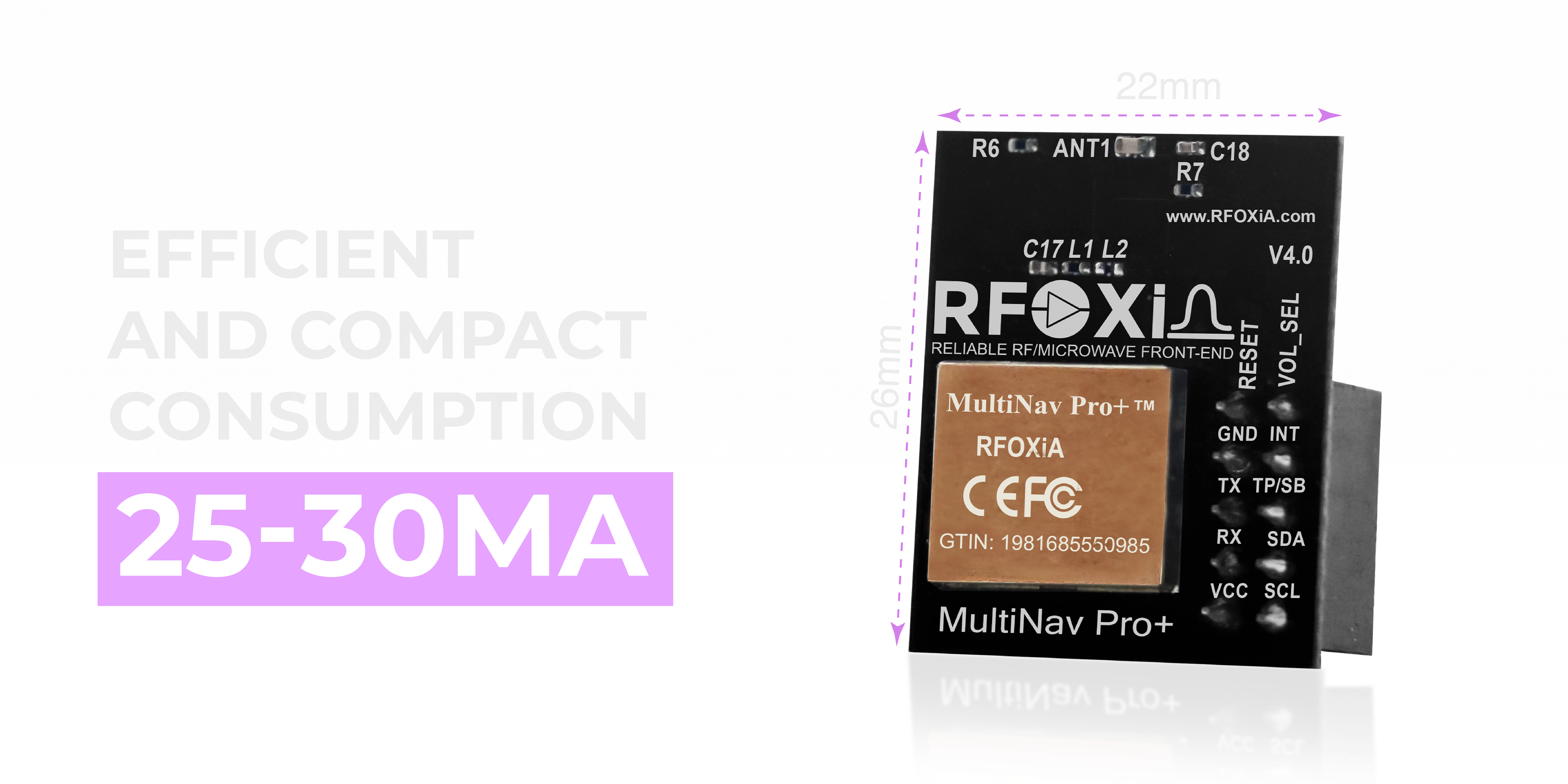
At 26mm × 22mm, the MultiNav Pro+ is small enough to integrate into wearables, compact drone frames, agricultural sensor nodes, and industrial IoT enclosures without occupying meaningful board space.
The integrated high-gain chip antenna means you do not need to route a U.FL connector to an external patch antenna to get good performance. This simplifies PCB layout, reduces bill of materials cost, and shrinks overall form factor — all critical when designing a finished IoT product for production.
Power consumption of 25-30mA during active fix is excellent for a multi-constellation GNSS receiver. Many active patch antenna setups draw 50-80mA just for the antenna, before the chipset power. At 25-30mA total draw, the MultiNav Pro+ is realistic for battery-powered deployments lasting hours or days.
UART and I2C Interface Support
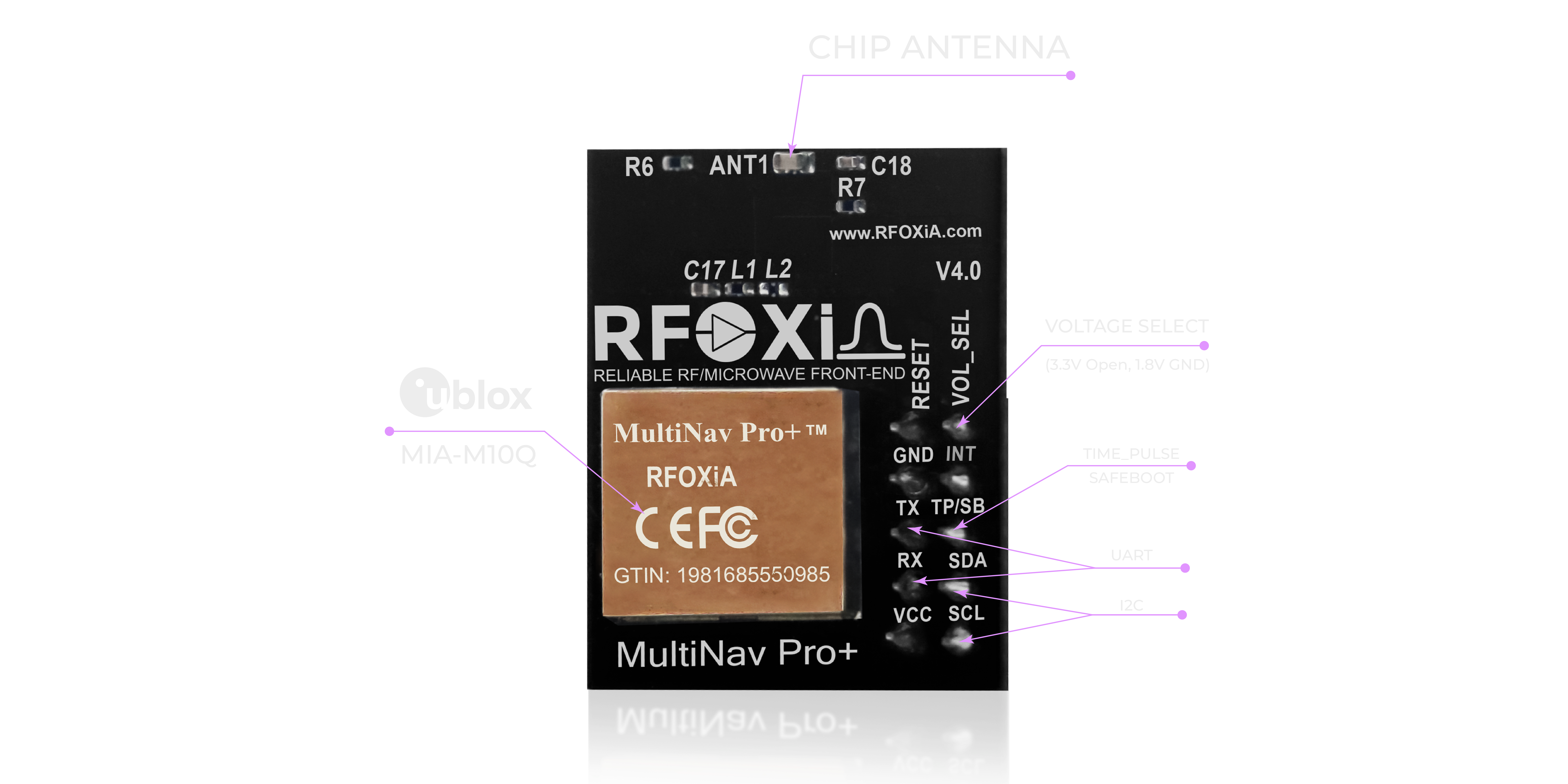
Interface flexibility determines how easily a GNSS module integrates with the rest of your IoT stack. The MultiNav Pro+ supports both UART (TX/RX) and I2C (SCL/SDA), covering virtually every embedded platform in use today:
- UART is the standard for microcontrollers parsing NMEA sentences — Arduino, ESP32, STM32, Raspberry Pi, and most professional MCU platforms all support hardware UART natively.
- I2C is ideal when you are already bus-sharing multiple sensors and want to minimize pin count. It is also the preferred interface for some higher-level platforms.
The module operates at both 1.8V and 3.3V logic levels, making it compatible with both modern ultra-low-power MCUs running at 1.8V and the wider ecosystem of 3.3V development boards. Level shifting between your MCU and GNSS module adds cost and complexity — the MultiNav Pro+ eliminates that requirement.
Software Integration for GPS Coordinate Logging IoT
Open-Source C Driver with NMEA Protocol Support
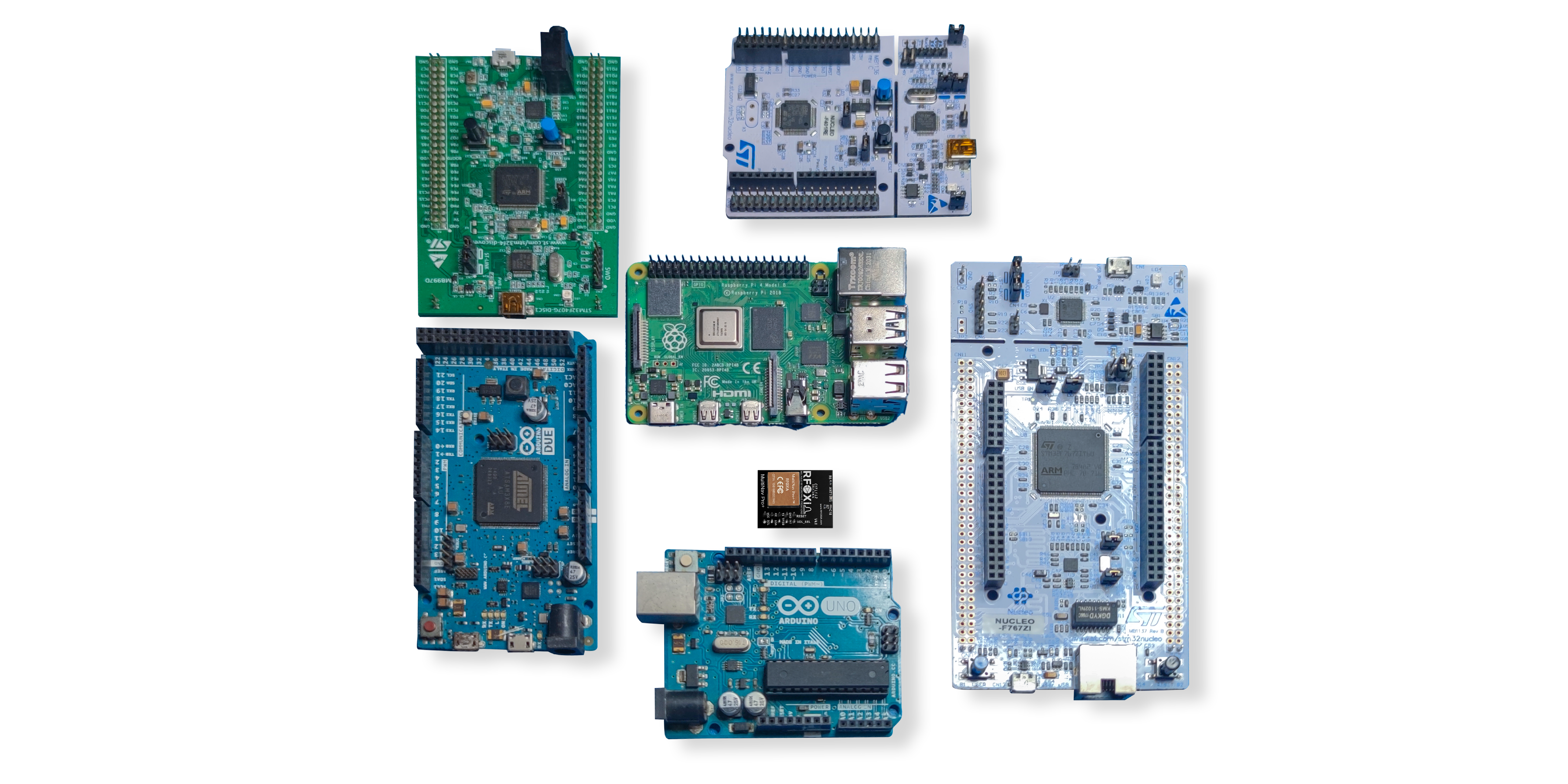
Hardware performance means nothing if integration is painful. RFOXiA ships the MultiNav Pro+ with a fully open-source C language driver library that implements the NMEA standard protocol — the universal language of GNSS receivers.
NMEA sentences like $GNGGA, $GNRMC, and $GNVTG carry all the data you need for GPS coordinate logging IoT applications: latitude, longitude, altitude, speed, heading, fix quality, satellite count, and HDOP. The RFOXiA library parses these sentences, validates checksums, and exposes clean data structures your application can read directly.
The library imports into Arduino IDE in seconds — add the folder to your libraries directory, include the header, and you are reading coordinates within minutes. It also works with PlatformIO, STM32CubeIDE, ESP-IDF, and any toolchain that supports standard C. For developers working in more complex embedded environments, the low-level UART driver is well-documented and straightforward to port.
For makers new to GNSS development, the combination of clean example sketches and full NMEA documentation makes the learning curve minimal. For professional developers who need to integrate GNSS into a production firmware codebase, the library structure is clean enough to include directly without heavy modification.
u-center Software for Configuration and Evaluation
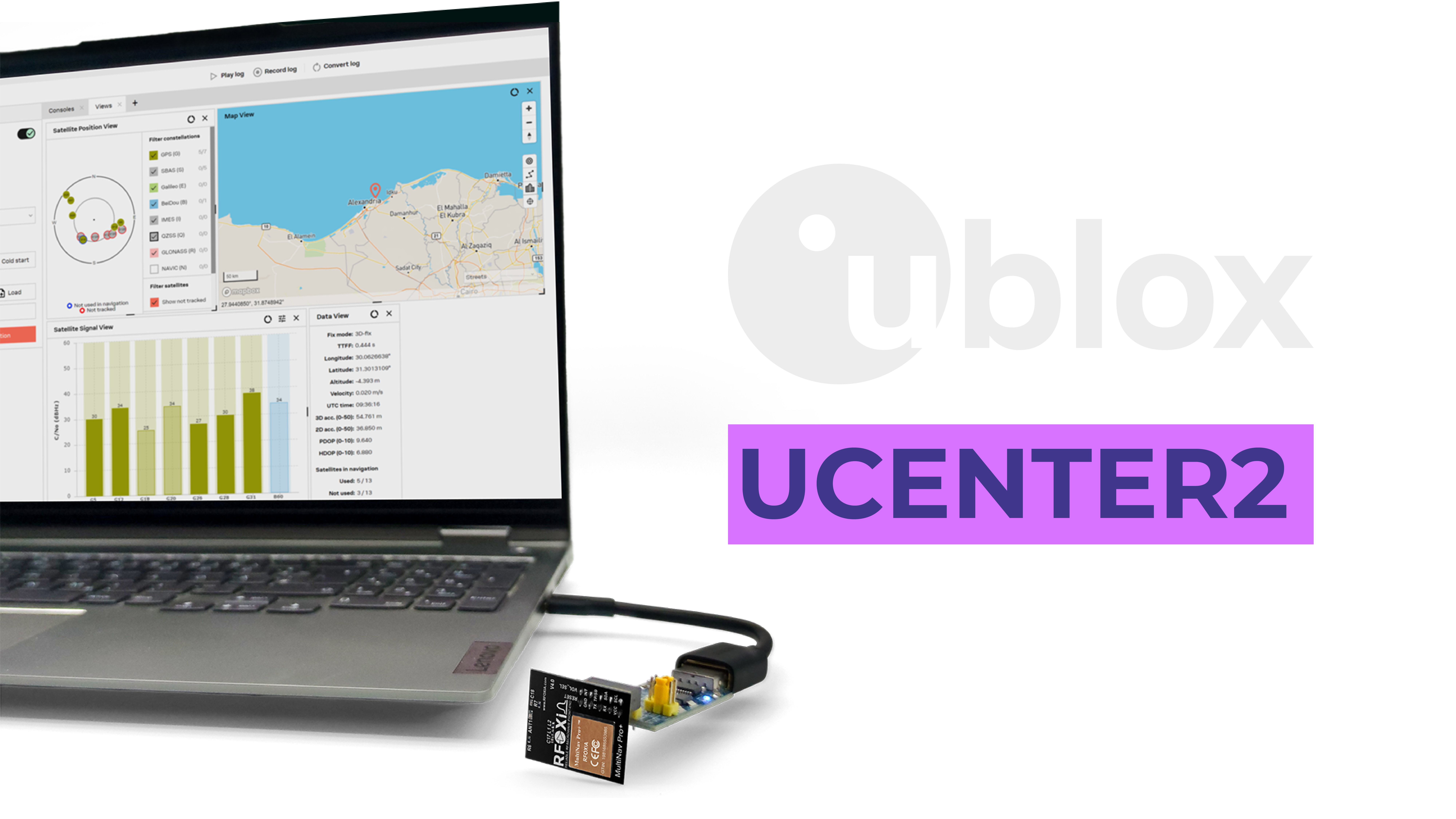
The u-blox MIA-M10Q at the heart of the MultiNav Pro+ is fully compatible with u-center — u-blox's professional GNSS evaluation and configuration software.
u-center gives you:
- Sky view visualization showing which satellites are visible and their signal strength
- Real-time map tracking with coordinate logging and playback
- Dynamic performance graphs for fix rate, accuracy, HDOP, and satellite count
- Module configuration — change update rates, enable/disable constellations, configure power modes, and save settings to flash
- Firmware update support for the u-blox chipset
- Logging and export for post-analysis of GPS coordinate logging IoT sessions
For development, u-center is invaluable. You can validate antenna placement, characterize positioning performance in your target deployment environment, and fine-tune module configuration before writing a single line of firmware. For quality assurance in production, it provides the quantitative accuracy data you need to document.
Real-World Applications for GPS Coordinate Logging IoT
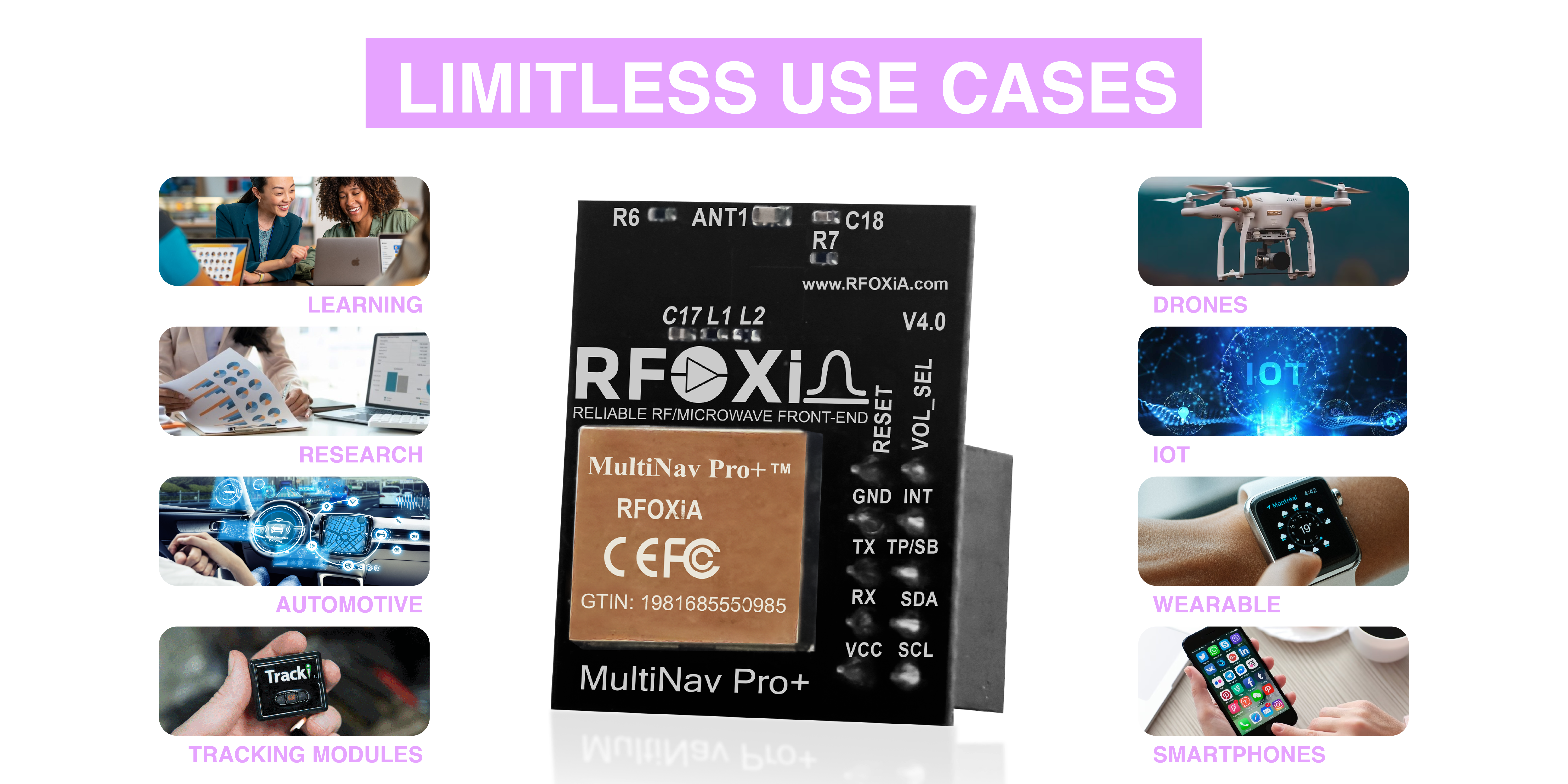
The MultiNav Pro+ is not designed for a single use case. GPS coordinate logging IoT applications span an enormous range of industries and technical contexts. Here are the primary deployment categories where this module delivers clear value:
Drone and UAV Systems
Drone operators need high fix rates, fast TTFF, and accurate coordinates for flight path logging, autonomous navigation, return-to-home functionality, and geofencing. The 18Hz update rate ensures that GPS logs capture flight paths with centimeter-level temporal resolution even at high airspeeds. The 1.5-meter accuracy is sufficient for most autonomous drone applications outside of centimeter-precision landing systems.
Precision Agriculture
Agriculture IoT applications include soil sampling path logging, spray drone navigation, irrigation zone mapping, and livestock tracking. GPS coordinate logging IoT nodes deployed across a farm field need sub-2-meter accuracy to be useful for actionable data. The multi-constellation support ensures reliable fix even in areas with limited horizon from treelines or terrain features.
Environmental Monitoring Networks
When combined with the RFOXiA Accurate GNSS Module and the RFOXiA Sensors Module, developers can build GPS-tagged environmental monitoring nodes that log temperature, humidity, air quality, and barometric pressure with verified coordinates. This GPS-verified data architecture is the foundation of the RFOXiA data monetization network, where verified outdoor sensor data is sold to enterprise buyers.
Asset and Fleet Tracking
Logistics, construction equipment, and fleet management applications require continuous GPS coordinate logging IoT systems that operate reliably 24/7. The 25-30mA active power draw enables duty-cycling strategies that extend battery life to weeks or months with the right power architecture. The 1-second TTFF means the module recovers instantly from power cycling or brief outages.
Wearable Research Platforms
Sports science, biomechanics research, and field study applications increasingly use wearable GPS logging platforms. The compact 26mm × 22mm form factor and 1.8V/3.3V support make the MultiNav Pro+ realistic for wearable integration where size and power are tightly constrained.
Educational and Maker Projects
For makers and students learning embedded systems, GPS coordinate logging is one of the most satisfying project categories — seeing your device know where it is in the world creates an immediate and tangible connection between code and reality. The open-source driver, Arduino IDE compatibility, and comprehensive documentation make the MultiNav Pro+ accessible to developers at every level.
Advanced RF Design: Why Signal Quality Matters
One of the less visible but technically important aspects of the MultiNav Pro+ is its RF/microwave microstrip filter technology. GNSS signals are extraordinarily weak by the time they reach ground level — typically around -130 dBm, which is billions of times weaker than a typical Bluetooth signal. At this signal level, interference from nearby oscillators, switching regulators, microcontrollers, and radio transmitters can overwhelm the receiver and degrade accuracy or prevent fix entirely.
RFOXiA's microstrip filter design suppresses out-of-band interference before it reaches the chipset, preserving the signal-to-noise ratio that determines fix quality and accuracy. This is the kind of RF engineering detail that separates a well-designed module from one that looks identical on a spec sheet but performs poorly in real systems with other active electronics nearby.
For GPS coordinate logging IoT systems where the GNSS module shares a PCB or enclosure with radios, switching power supplies, or high-speed digital circuits, this RF filtering design is a practical reliability advantage.
Integrating the MultiNav Pro+ into the RFOXiA Ecosystem
The MultiNav Pro+ is designed to work as a standalone GNSS module for any IoT project, but it also integrates natively into the complete RFOXiA wireless development ecosystem:
- RFOXiA BLE Module (MultiNav Pro+ BLE) — pair GNSS data with the 20km long-range Bluetooth communication link for GPS coordinate logging IoT systems that transmit positioning data over distances that commodity BLE cannot approach
- RFOXiA Sensors Module — combine GPS location with 7-sensor environmental data for GPS-tagged environmental logging
- RFOXiA Power/Program Kit — supercapacitor power system with 5-minute charge and 24-hour runtime powers the complete stack for extended field deployment
- RFOXiA Connect App — view live GPS tracking on a map interface via the Android/iOS application, no internet connection required
- RFOXiA Club — log GPS coordinate sessions, visualize tracking data, and contribute verified outdoor sensor data to the data monetization network
The Developer Bundle combines all four hardware modules with Club access and app license for $199 — the most complete and cost-effective entry point for building a full GPS coordinate logging IoT system from scratch.
If you are building a GPS coordinate logging IoT application that needs long-range data transmission, environmental context, and a live control and monitoring interface, the RFOXiA ecosystem delivers all of that in a single integrated platform. Explore the full module at the RFOXiA Accurate GNSS Module product page.
Comparing the MultiNav Pro+ to Alternatives
When evaluating GNSS modules for GPS coordinate logging IoT applications, the market broadly breaks into three categories:
Commodity modules ($5-15): Typically based on older chipsets with single or dual constellation support, 1-5Hz update rates, 2.5-5 meter accuracy, no open-source driver support, and limited documentation. Adequate for non-critical applications like simple waypoint logging where speed and precision are not requirements.
Mid-tier professional modules ($80-200): Better chipsets, multi-constellation, 10-18Hz update rates, 1-2 meter accuracy. Solid performance but price limits deployment in multi-node IoT networks. The MultiNav Pro+ competes directly in this performance tier at a fraction of the price.
High-precision RTK systems ($300-2,000+): Centimeter-level accuracy using Real-Time Kinematic corrections. Required for survey-grade applications, precision landing, and autonomous vehicle navigation. The MultiNav Pro+ is not an RTK module — it is a high-performance standalone GNSS module for applications where 1.5 meter accuracy is the requirement.
For the majority of GPS coordinate logging IoT applications — drone tracking, agricultural sensing, environmental monitoring, asset tracking, research platforms — the MultiNav Pro+ delivers the performance tier that was previously available only at $80-200+ per unit, for $49.
Getting Started: Your First GPS Coordinate Logging IoT Build
Building your first GPS coordinate logging IoT system with the MultiNav Pro+ takes less time than you might expect:
- Connect the module — UART to your microcontroller's hardware serial port, or I2C if you prefer bus sharing. Power with 3.3V.
- Download the RFOXiA open-source C library — available via the RFOXiA Club Dev Hub resources.
- Open the example sketch — the basic coordinate logger example outputs NMEA data and parsed latitude/longitude/altitude over serial.
- Deploy outdoors — open sky view for best initial fix. Watch the 1-second first fix in action.
- Log your data — add an SD card module, MQTT publish to a server, or stream via the RFOXiA BLE module to your phone.
- Visualize — use u-center for desktop analysis, or the RFOXiA Connect app for live mobile tracking.
For developers who want AI assistance with firmware development, the RFOXiA Club AI Firmware Builder generates complete production-ready firmware from a plain English description of your application — dramatically reducing the time from concept to working GPS coordinate logging IoT system.
Ready to build? Get the RFOXiA Accurate GNSS Module for $49 and start logging precise coordinates today.
Conclusion: The Right Foundation for Serious GPS Coordinate Logging IoT
GPS coordinate logging IoT applications are only as good as the GNSS hardware underneath them. Compromising on accuracy, fix rate, constellation support, or interface flexibility means compromising on the quality of every data point your system ever logs.
The MultiNav Pro+ from RFOXiA delivers the specifications that serious GPS coordinate logging IoT systems require — 1.5-meter accuracy, 18Hz fix rate, 1-second TTFF, concurrent quad-constellation support, 25-30mA power draw, compact 26mm × 22mm footprint, UART and I2C interfaces, open-source driver, and full u-center compatibility — at a price that makes professional-grade positioning accessible to every maker, engineer, and developer.
Whether you are logging drone flight paths, building precision agriculture sensors, deploying environmental monitoring networks, tracking assets, or creating research wearables, the MultiNav Pro+ is the GNSS foundation your next GPS coordinate logging IoT project deserves.
Written by: Moamen Mohamed LinkedIn