
How to Add GPS to Drone: The Complete Builder's Guide (2025)
How to Add GPS to Your Drone for Precision Navigation, Tracking, and Autonomous Flight
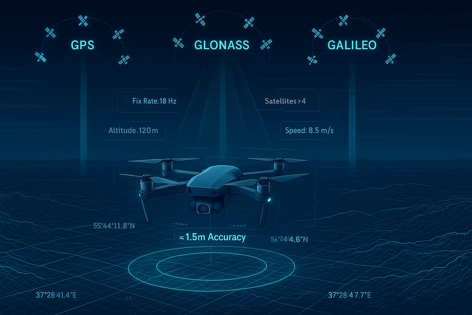
If you are serious about building a capable drone, learning how to add GPS to drone systems is not optional — it is essential. GPS transforms a manually piloted aircraft into an intelligent platform capable of position hold, return-to-home, waypoint navigation, geo-fencing, and real-time tracking. Whether you are building a racing quad, a photography platform, a mapping drone, or a custom long-range UAV, a quality GNSS module is one of the most impactful upgrades you can make.
This guide walks you through everything you need to know: why GPS matters for drones, what specifications actually count, how to choose the right module, and how to wire, configure, and test your GPS integration from scratch. We will also cover the hardware that professional drone builders are choosing in 2025 for the combination of accuracy, speed, and ecosystem support.
Why Adding GPS to Your Drone Changes Everything
A drone without GPS is essentially a reaction vehicle. Every movement is dependent on the pilot's real-time input and visual line of sight. Add GPS and the entire capability profile of your platform expands dramatically.
What GPS Enables on a Drone
Position Hold (Loiter Mode) Without GPS, a drone in hover mode drifts with wind and any small disturbance. With GPS, the flight controller locks position using satellite coordinates and corrects automatically. This is the single most requested feature for beginners and professionals alike.
Return to Home (RTH) The drone records its launch GPS coordinates and can autonomously navigate back to that exact point if signal is lost, battery drops below a threshold, or the pilot triggers RTH manually. This is a safety net that has saved thousands of drones.
Waypoint Navigation and Autonomous Missions Define a series of GPS coordinates and altitudes. The drone flies the route independently, executing tasks at each waypoint — ideal for surveying, inspection, delivery, and research applications.
Geo-Fencing Set virtual boundaries the drone cannot cross, based on GPS coordinates. Critical for regulatory compliance, safe operation near airports, and keeping drones within defined work zones.
Real-Time Tracking Stream live GPS data to a ground station, mobile application, or cloud dashboard. This is essential for fleet operations, FPV long-range flights, and any application where you need to know exactly where your drone is at all times.
Precision Landing With a high fix-rate GPS module, the drone can execute precise landing maneuvers, reducing the risk of tip-overs, missed landing pads, and damage on descent.
Understanding GNSS Specifications That Matter for Drones
Not all GPS modules are created equal. When researching how to add GPS to drone platforms, the spec sheet is where most builders make mistakes — prioritizing the wrong numbers or not understanding what the specs mean in real-world flight conditions.
Accuracy
Accuracy is the most obvious spec, but the number quoted is almost always the CEP (Circular Error Probable) under ideal open-sky conditions. Real-world accuracy degrades with multipath interference, poor antenna placement, and atmospheric conditions.
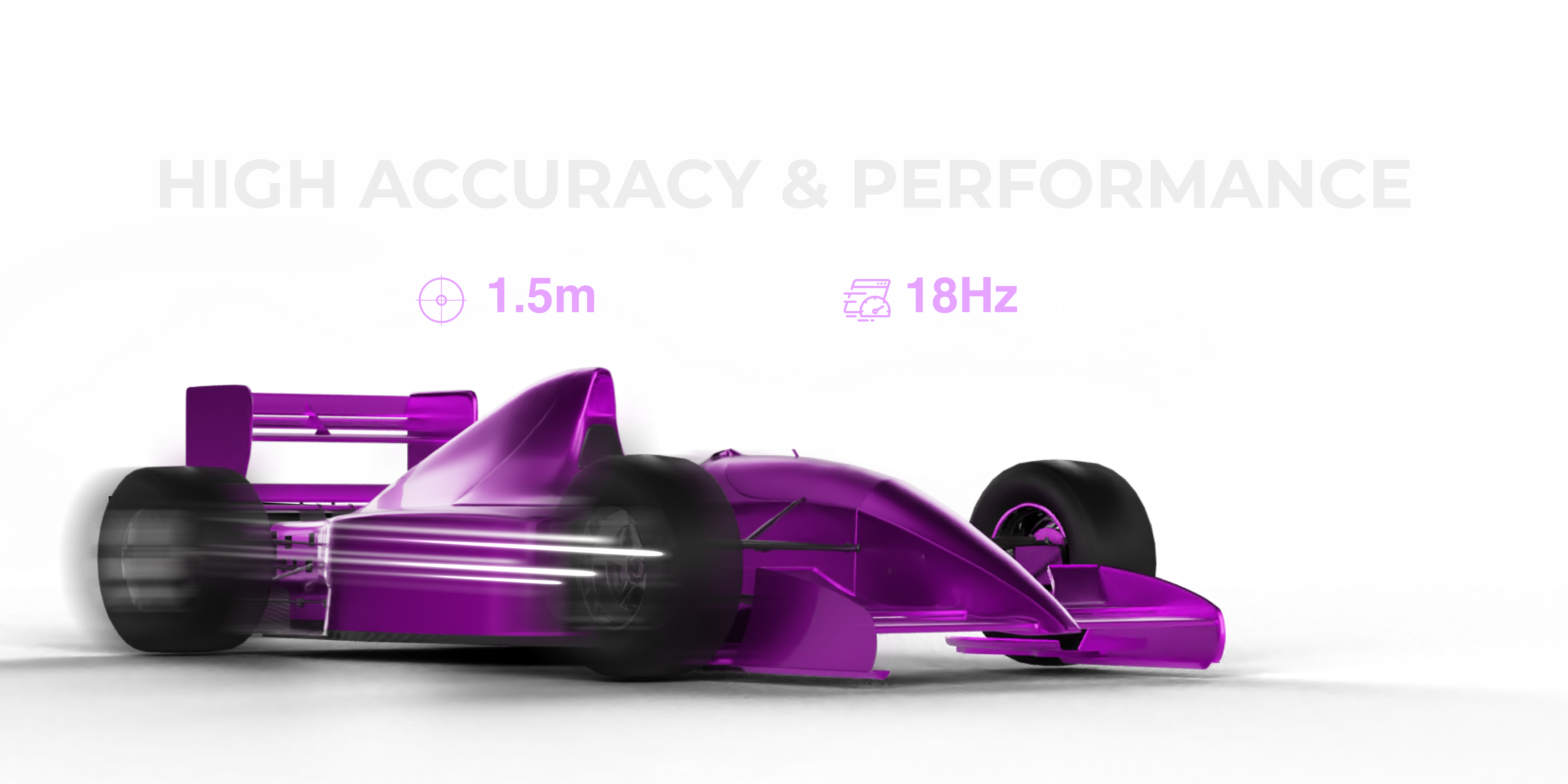
For hobby drones, accuracy in the 2.5-5 meter range is typical with basic modules. For professional applications — mapping, precision agriculture, autonomous flight, or any mission where position matters — you want 1.5 meters or better.
Fix Rate (Hz)
This is arguably the most underappreciated specification for drone applications. Fix rate describes how many times per second the module updates its position calculation.
- 1Hz — one position update per second. Fine for static IoT applications. Completely inadequate for drones.
- 5Hz — better, but still creates visible lag in position hold at speed.
- 10Hz — acceptable minimum for most flight controllers.
- 18Hz — professional-grade. The flight controller receives a new GPS position 18 times per second, enabling significantly tighter position hold, smoother autonomous flight paths, and faster correction of wind drift.
A drone flying at 10 meters per second with a 1Hz GPS update is traveling 10 meters between position readings. At 18Hz, that gap drops to 0.55 meters. The difference in position hold quality and autonomous flight smoothness is dramatic.
Multi-Constellation Support
Most people think GPS is a single system. It is not. GPS is the American system. GLONASS is Russian. Galileo is European. BeiDou is Chinese. Each constellation has its own satellite network.
A module that can receive signals from all four constellations simultaneously has access to far more satellites at any given time and location. More satellites means:
- Faster initial fix acquisition (time to first fix)
- Better accuracy through geometric diversity
- Continued operation when one constellation has poor geometry over your location
- Greater reliability in challenging environments (near buildings, trees, or at low elevation angles)
Time to First Fix (TTFF)
This is how long the module takes from power-on to achieving a usable position lock. Standard modules may take 30-90 seconds for a cold start. Professional modules with good almanac data and antenna design can achieve first fix in under 5 seconds — critical when you need to launch quickly.
Power Consumption
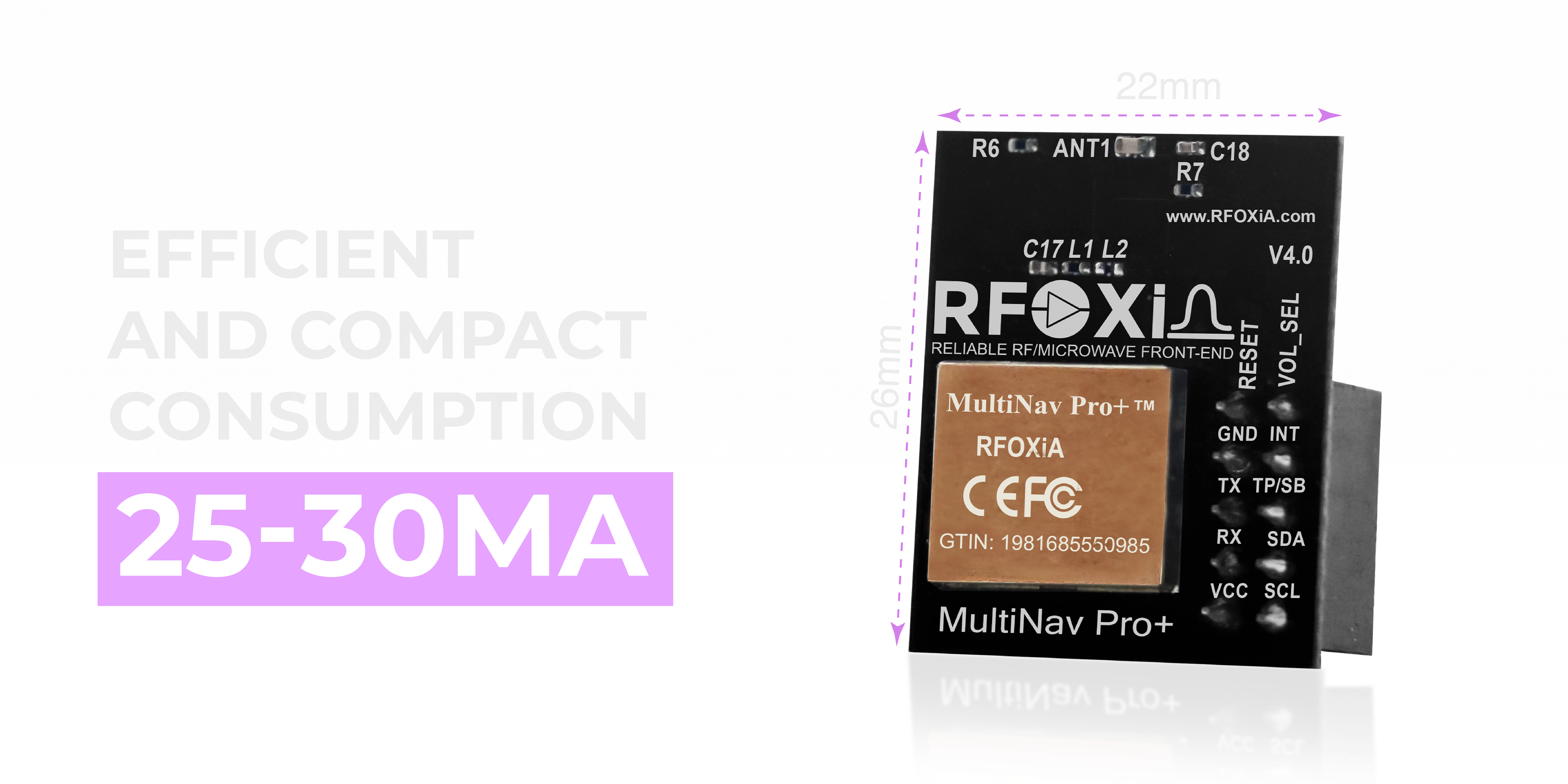
For drones, power budget matters. A GNSS module drawing 80-100mA is meaningful load on a small UAV. Modules in the 25-30mA range give you the same or better performance with a fraction of the power draw — extending flight time and reducing heat generation near sensitive electronics.
Choosing the Right GPS Module for Your Drone Build
The market for GNSS modules ranges from $5 commodity modules with mediocre specs to $500+ survey-grade units. For serious drone builders, the sweet spot in 2025 combines professional-grade specifications with a realistic price point and proper ecosystem support.
What to Look For
- Accuracy of 1.5m or better — anything worse than 2.5m will cause visible position drift in hover
- Fix rate of 10Hz minimum, 18Hz preferred — for tight position hold and responsive autonomous flight
- All four constellations — GPS, GLONASS, Galileo, BeiDou simultaneously
- Compact form factor — weight and size are always constrained on drones
- Standard interface — UART is the standard for flight controllers, I2C for microcontroller integration
- Open-source library — you will want to customize, test, and integrate without fighting proprietary tools
- FCC certification — required for legal commercial operation in the USA
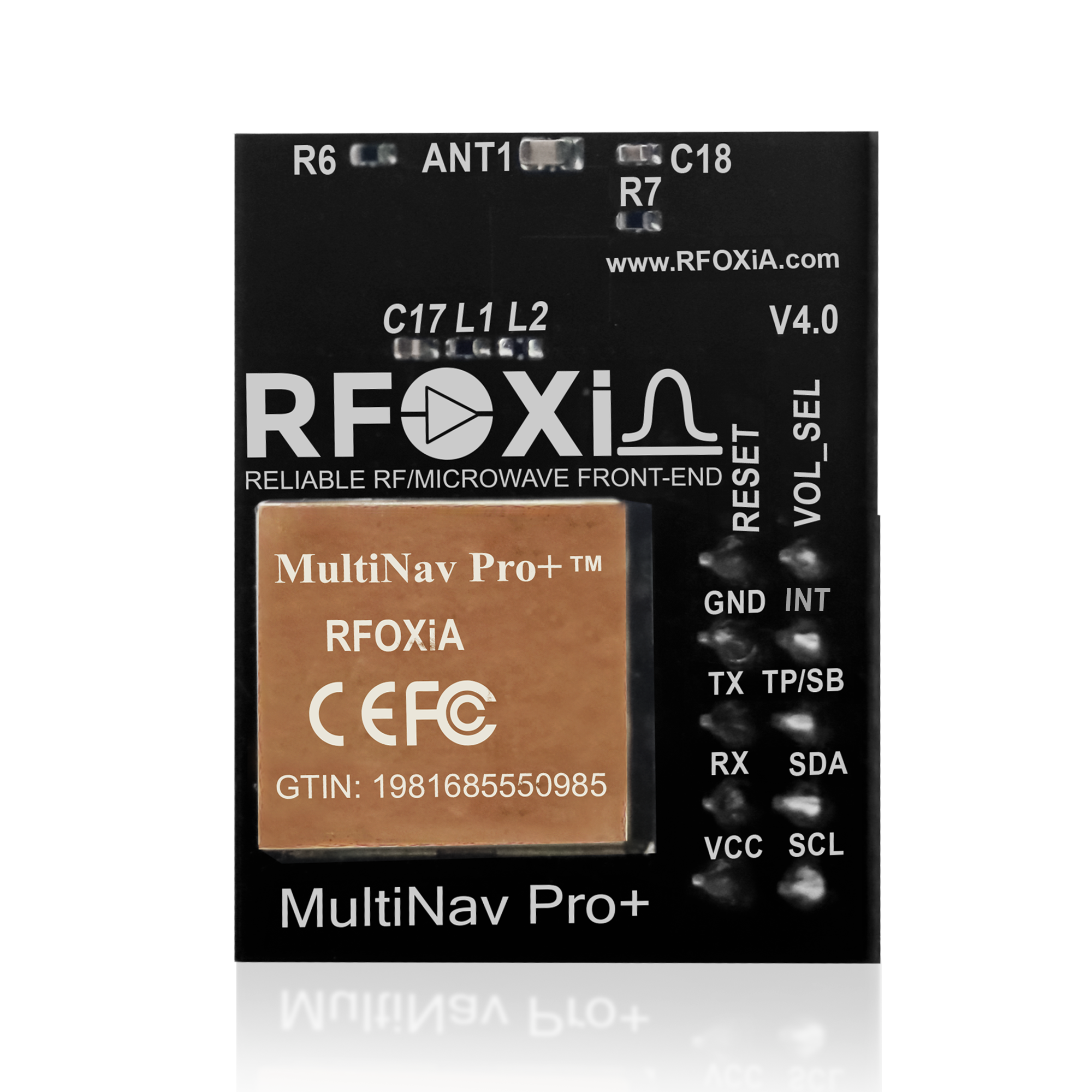
The MultiNav Pro+ GNSS Module
The RFOXiA Accurate GNSS Module hits every one of these criteria. Built around the u-blox MIA-M10Q chip — one of the most advanced GNSS chipsets available to the commercial market — the MultiNav Pro+ delivers 1.5-meter accuracy with an 18Hz fix rate and concurrent support for all four global satellite constellations.
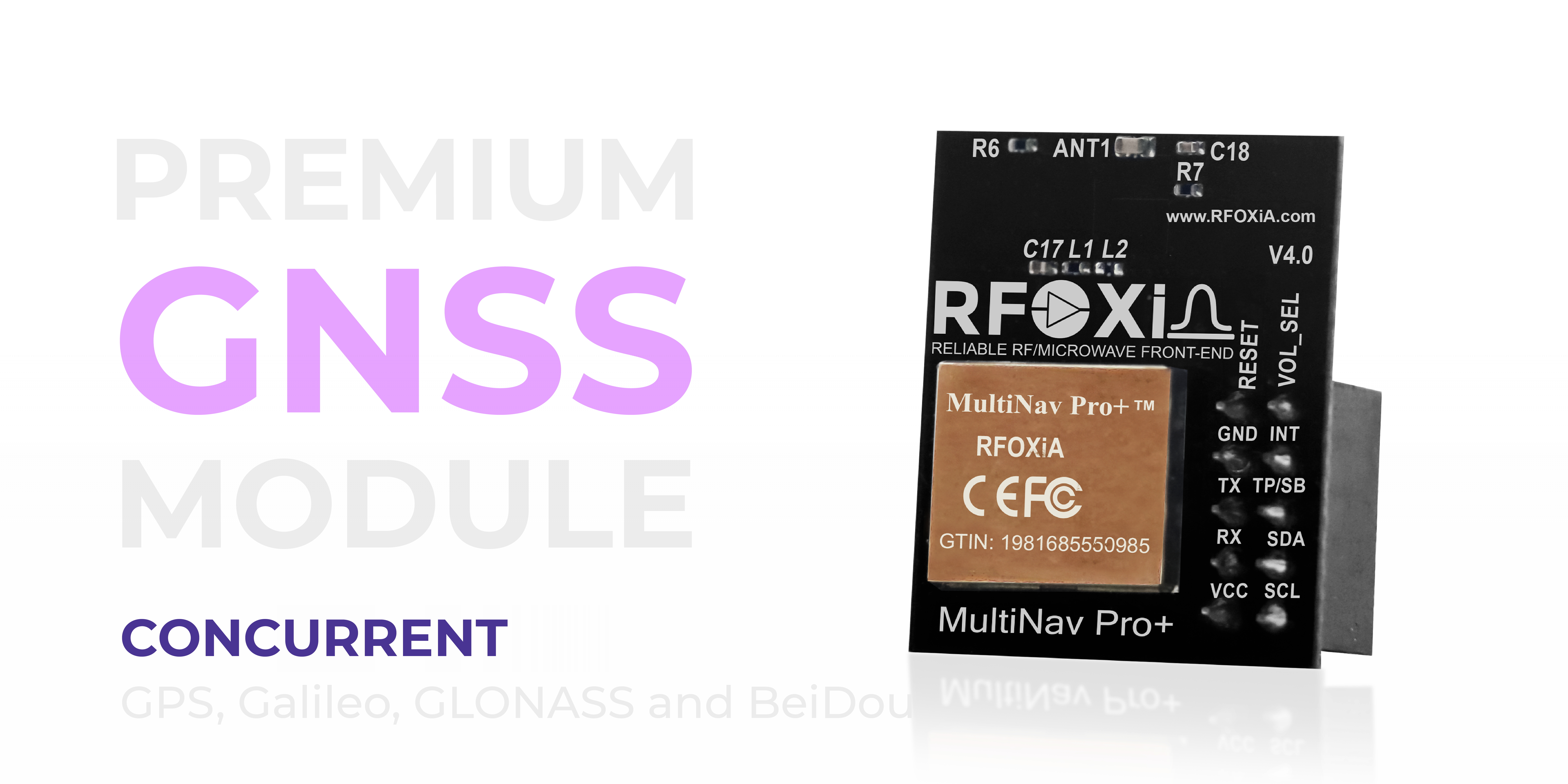
At 26mm x 22mm and drawing only 25-30mA, it is purpose-built for weight-sensitive platforms. First fix is achieved in approximately 1 second in warm start conditions — one of the fastest available in this category.
The module ships with an integrated high-gain chip antenna, eliminating the need for external antenna management in most drone mounting configurations. An onboard RF/microwave microstrip filter suppresses interference from motor noise, ESC switching frequencies, and other electromagnetic sources that degrade GPS signal quality on drone airframes.
Step-by-Step: How to Add GPS to Drone Systems
Step 1 — Select Your GPS Module and Flight Controller
Before purchasing, confirm your flight controller's GPS interface. Most modern flight controllers (Ardupilot, Betaflight, iNav, PX4) support UART-based GNSS input with NMEA protocol. The MultiNav Pro+ supports both UART and I2C, making it compatible with virtually any platform.
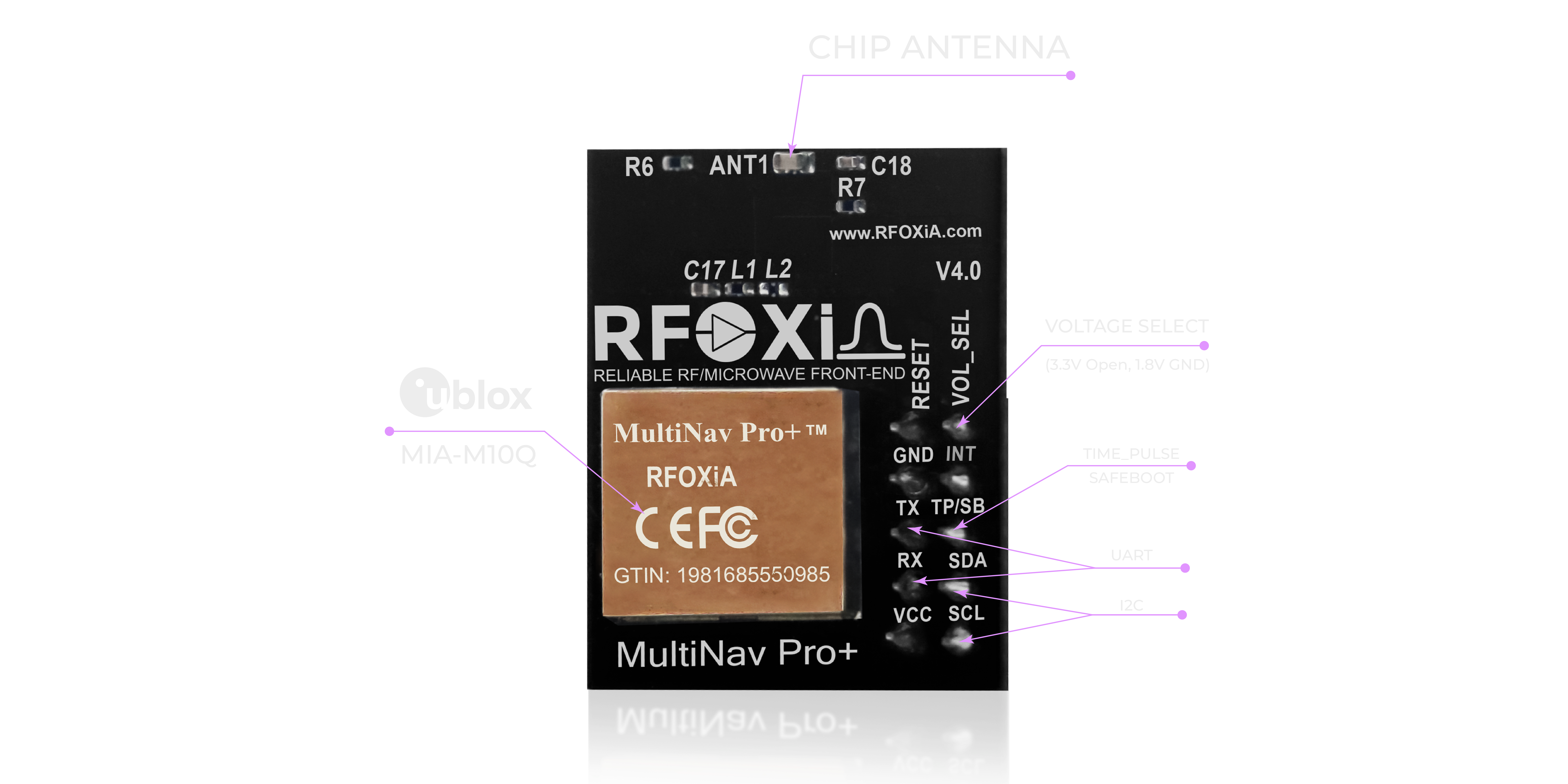
Note the voltage compatibility. The MultiNav Pro+ supports both 1.8V and 3.3V logic — covering the full range of modern microcontrollers and flight controllers without level shifting.
Step 2 — Physical Mounting
GPS module placement on a drone is critical and often done wrong by first-time builders.
Rules for GPS mounting:
- Mount as high as possible on the airframe — typically on a dedicated mast
- Keep maximum distance from ESCs, power distribution boards, and battery leads
- Face the antenna up, unobstructed — even a thin carbon fiber plate above the antenna can attenuate signal
- Isolate from vibration using foam or rubber dampeners — vibration can create EMI that affects signal acquisition
- Align the module's heading indicator with the drone's forward direction — this matters if you are using magnetometer data from the module
For carbon fiber frames, be aware that carbon fiber is slightly conductive and can act as a ground plane that partially shields or reflects satellite signals. Mounting the GPS above the frame level mitigates this significantly.
Step 3 — Wiring
For UART connection to a flight controller:
- VCC → 3.3V rail from flight controller (confirm voltage — do not use 5V directly with 3.3V logic modules without regulation)
- GND → common ground
- TX (module) → RX (flight controller UART port)
- RX (module) → TX (flight controller UART port)
For I2C connection to a microcontroller (Arduino, STM32, etc.):
- VCC → 3.3V
- GND → GND
- SCL → SCL pin
- SDA → SDA pin
Keep GPS wiring separated from motor power leads. If routing through the frame, use shielded wire or route at 90 degrees to power cables to minimize induced noise.
Step 4 — Software and Firmware Configuration
This is where many builders hit a wall. Flight controller configuration for GPS is straightforward on most platforms, but getting the best performance from your GNSS module requires understanding the configuration options.
Using the Open-Source C Library
The MultiNav Pro+ ships with a fully open-source C language driver library that implements complete NMEA protocol parsing. The library imports directly into Arduino IDE with a single include, and is compatible with any IDE toolchain that supports standard C.
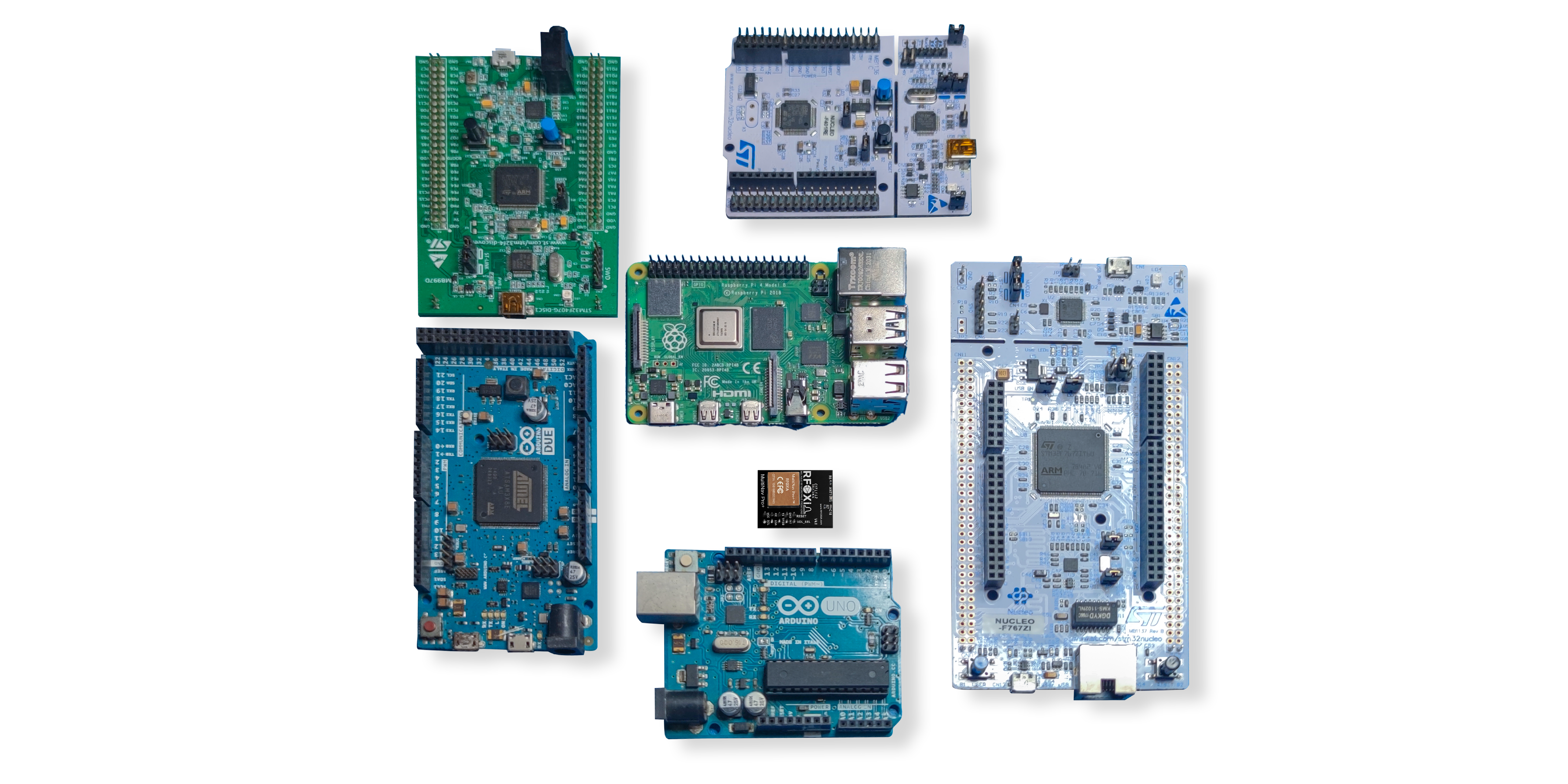
With the library, parsing GNSS data in your own firmware is reduced to a few lines of initialization code and a callback handler. You get:
- Latitude and longitude with full precision
- Altitude
- Speed and heading
- Fix quality and satellite count
- Time and date from GPS epoch
- HDOP (horizontal dilution of precision) for dynamic accuracy estimation
Using U-Center for Configuration and Evaluation
For advanced configuration, u-blox provides the U-Center desktop application — a professional GUI tool that connects directly to any u-blox GNSS module including the MIA-M10Q at the heart of the MultiNav Pro+.
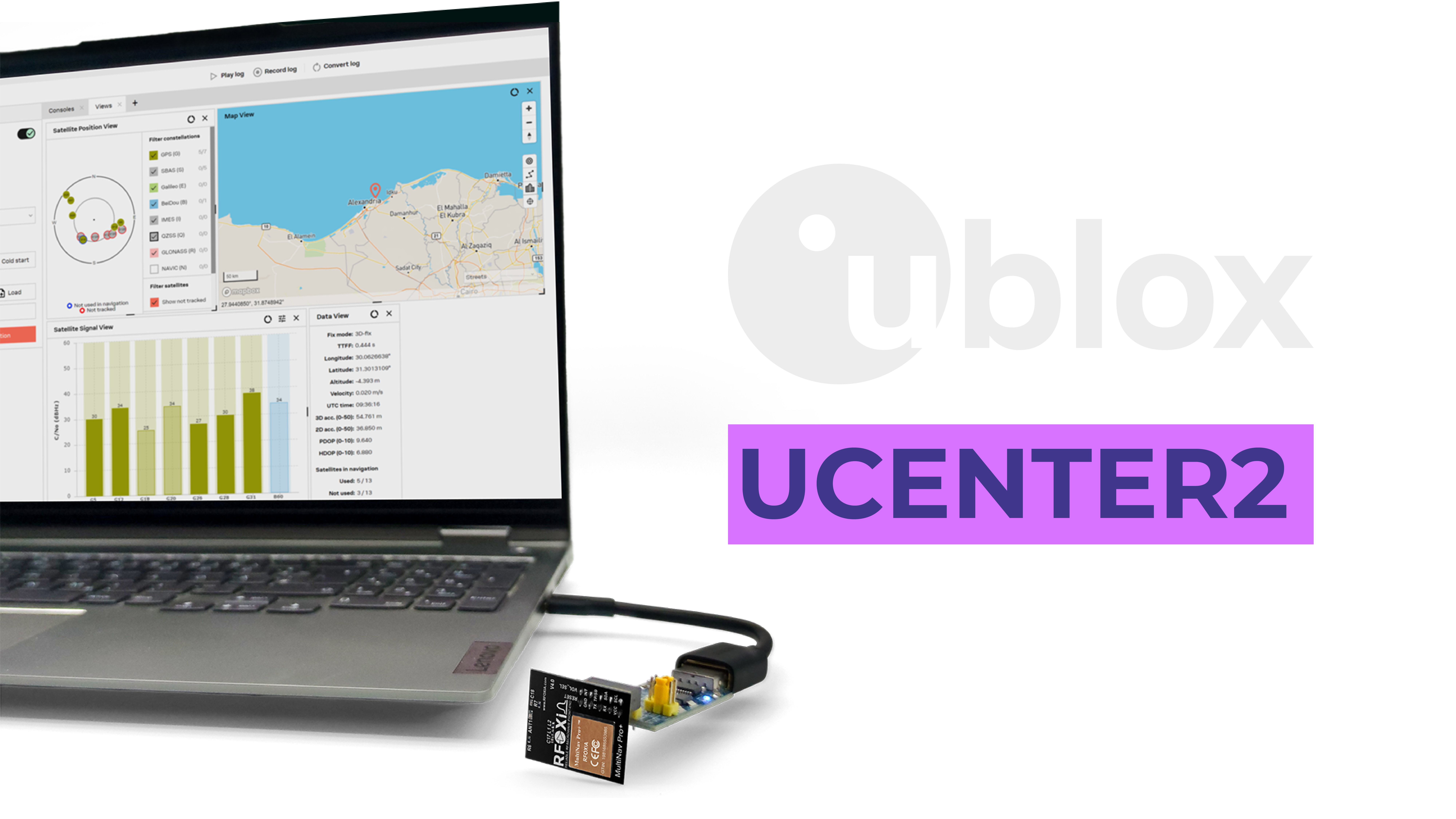
U-Center allows you to:
- Visualize individual satellite signal strengths in real time
- Configure update rate, constellation selection, and message output
- Enable or disable specific NMEA sentence types to reduce UART data load
- Log flight data for post-mission analysis
- Evaluate fix quality under different conditions before committing to a build
For builders who want to optimize every aspect of GPS performance before integrating into a final airframe, U-Center is an invaluable tool. Connect the MultiNav Pro+ via USB (using the RFOXiA Power/Program Kit or a standard USB-UART bridge) and configure your exact output rate, fix settings, and message format before installation.
Step 5 — Flight Controller GPS Setup
With the module wired and configured, the flight controller GPS setup varies by firmware:
iNav (recommended for fixed-wing and long-range drones):
- Configurator → Ports tab → assign GPS to the UART you used
- Configuration tab → GPS → enable, select UBLOX protocol, set baud rate (115200 recommended)
- GPS tab → verify satellite count and fix status before arming
Ardupilot / Mission Planner:
- Full parameter list → SERIAL_x_PROTOCOL = 5 (GPS)
- GPS_TYPE = 1 (AUTO detect) — the MIA-M10Q is fully supported
- GPS tab in Mission Planner shows live satellite view and HDOP
Betaflight (GPS Rescue mode):
- Ports tab → enable GPS on target UART
- Configuration → GPS → enable, UBLOX protocol
- Failsafe tab → configure GPS Rescue parameters
Step 6 — Testing Before Flight
Never fly with an untested GPS integration. Before your maiden flight:
- Power up outdoors with clear sky view
- Wait for satellite lock (fix indicator on flight controller)
- Verify satellite count — minimum 6 for reliable operation, 10+ preferred
- Check HDOP — values below 1.5 indicate excellent geometric satellite distribution
- Walk the drone 10-20 meters in each direction and verify the ground station map updates correctly
- Verify RTH coordinates are correctly set to launch point
- Test position hold by releasing sticks — drone should hover within 1-2 meters of the lock point
Advanced Applications: Beyond Basic GPS
Once you understand how to add GPS to drone builds at the basic level, the same hardware opens far more sophisticated applications.
GPS-Guided Autonomous Missions
Combined with mission planning software (Mission Planner, QGroundControl), a high-accuracy GNSS module enables fully scripted autonomous flights — survey grids, inspection routes, delivery paths, and research transects with centimeter-level repeatability between flights.
Multi-Sensor Data Fusion
The MultiNav Pro+ outputs precise location and timing data that synchronizes beautifully with other sensor streams. Pair it with the RFOXiA Sensors Module (temperature, humidity, pressure, air quality, accelerometer, gyroscope, magnetometer) and you have a complete airborne environmental data collection platform — each data point stamped with GPS position and timestamp.
This combination is exactly what the RFOXiA Developer Bundle is built for — and it is why the full ecosystem is so compelling for serious builders.
Real-Time GPS Telemetry to Mobile App
The RFOXiA Accurate GNSS Module integrates directly into the RFOXiA ecosystem, enabling live GPS position streaming to the RFOXiA Connect mobile app. The app displays real-time drone position on a live map — no internet required — using the long-range BLE module as the communication link. At up to 15-20km man-to-drone range, this is GPS telemetry that works at ranges most operators will never exceed.
Data Network Contribution
For ground-deployed nodes, the GNSS module serves a second critical role: verifying outdoor deployment for the RFOXiA data network. When paired with the Sensors Module and a network connection, GPS coordinates validate that your environmental sensor node is genuinely outdoors and generating authentic data — enabling you to earn daily rewards for contributing verified hyper-local environmental data to enterprise buyers.
Use Cases for Drone GPS Integration

The applications for precision GPS on aerial platforms continue to expand as hardware becomes more accessible:
- Aerial photography and videography — position hold for stable shots, automated flight paths for repeatable angles
- Agricultural mapping and spraying — centimeter-level repeatability across survey grids, variable-rate application guidance
- Infrastructure inspection — GPS-scripted routes for bridges, towers, pipelines, and power lines
- Search and rescue — systematic GPS grid searches with logging of areas covered
- Wildlife research — tracking animal movements with GPS-tagged drones or payloads
- Amateur and professional FPV long-range — GPS rescue for safe return when visual contact is lost
- Drone racing with GPS assist — position hold for practice and training modes
- DIY delivery and logistics — waypoint-based delivery route testing
- Environmental monitoring — combined GPS and sensor payload for atmospheric research
- Robotics and ground vehicles — the same GNSS module works equally well for autonomous ground platforms
Why the MultiNav Pro+ Is the Right Choice for Serious Builders
When you are researching how to add GPS to drone projects, you will encounter dozens of modules at every price point. Most commodity modules deliver 2.5-5 meter accuracy at 5-10Hz — adequate for basic position hold, but insufficient for precision applications.
The MultiNav Pro+ sits in a different category:
| Specification | Commodity Modules | MultiNav Pro+ |
|---|---|---|
| Accuracy | 2.5–5m | 1.5m |
| Fix Rate | 1–10Hz | 18Hz |
| Constellations | GPS only or GPS+GLONASS | GPS + GLONASS + Galileo + BeiDou |
| First Fix | 30–90 seconds | ~1 second |
| Power Draw | 50–100mA | 25–30mA |
| Interface | UART | UART + I2C |
| Open Source Library | Rarely | Yes, full NMEA library |
| Professional Config Tool | No | U-Center compatible |
| Ecosystem Integration | None | Full RFOXiA ecosystem |
For $49, the MultiNav Pro+ delivers professional-grade GNSS performance with complete ecosystem support — including AI-assisted firmware development through RFOXiA Club, a mobile app for live tracking, and compatibility with the full RFOXiA hardware stack.
If you are ready to take your drone build to the next level with precision GPS, the RFOXiA Accurate GNSS Module is available now with FCC certification and ready to ship.
Conclusion
Knowing how to add GPS to drone builds is one of the most valuable skills in any drone builder's toolkit. The right GNSS module transforms a basic quad into an intelligent, position-aware platform capable of autonomous missions, real-time tracking, precision mapping, and safe return-to-home operation.
The specifications that matter most — accuracy, fix rate, multi-constellation support, and compact form factor — all come together in the MultiNav Pro+ at a price point that was previously impossible for professional-grade GNSS hardware. Combined with an open-source driver library, U-Center configuration support, and full integration into the RFOXiA wireless development ecosystem, it is the most capable drone GPS solution available to independent builders in 2025.
Whether you are adding GPS to your first build or upgrading an existing platform to professional-grade precision, start with hardware that will not limit your ambitions.
Ready to build? Visit rfoxia.com and join RFOXiA Club for free — every new member receives a $10 welcome credit toward their first order.
Written by: Moamen Mohamed LinkedIn