
How to Track Assets with GPS Module Technology: The Complete Builder's Guide
How to Track Assets with GPS Module Systems That Actually Perform in the Field
Asset tracking sounds simple until you actually try to build it. Your module loses fix. Latency spikes at the worst possible moment. Accuracy drifts by tens of meters. Your fast-moving drone outpaces the update rate and your telemetry becomes useless.
The reality is that most GPS modules sold to makers and developers were designed for slow-moving, stationary, or consumer applications. They were never engineered for the demanding edge cases that serious builders actually face — real-time drone telemetry, precision field research, high-speed robotics, or outdoor IoT deployments where location data is the foundation of everything else the system does.
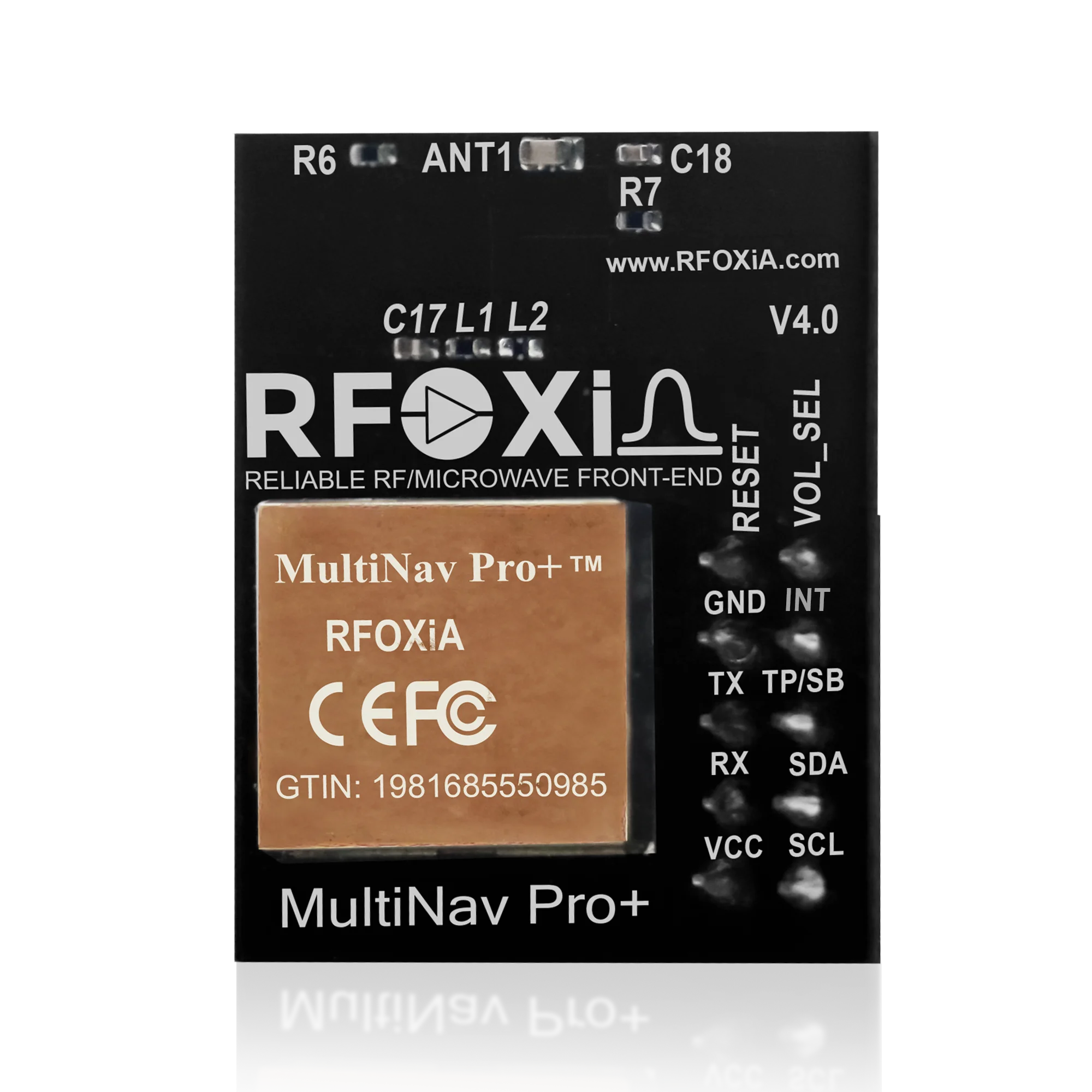
This guide breaks down exactly how to track assets with GPS module hardware, what specifications actually matter, how to choose the right module for your application, and how professional-grade hardware like the RFOXiA Accurate GNSS Module closes the gap between hobbyist limitations and the kind of precision real projects demand.
What Asset Tracking with a GPS Module Actually Requires
Before selecting any hardware, you need to understand what your tracking system is actually doing at the signal level. A GPS module does not "know" where it is in any conventional sense. It receives timestamped signals from multiple satellites orbiting at approximately 20,200 km altitude and solves a geometric equation — trilateration — to calculate its position on Earth's surface.
The quality of that calculation depends on:
- How many satellites it can see simultaneously — more satellites means more geometric diversity and better position accuracy
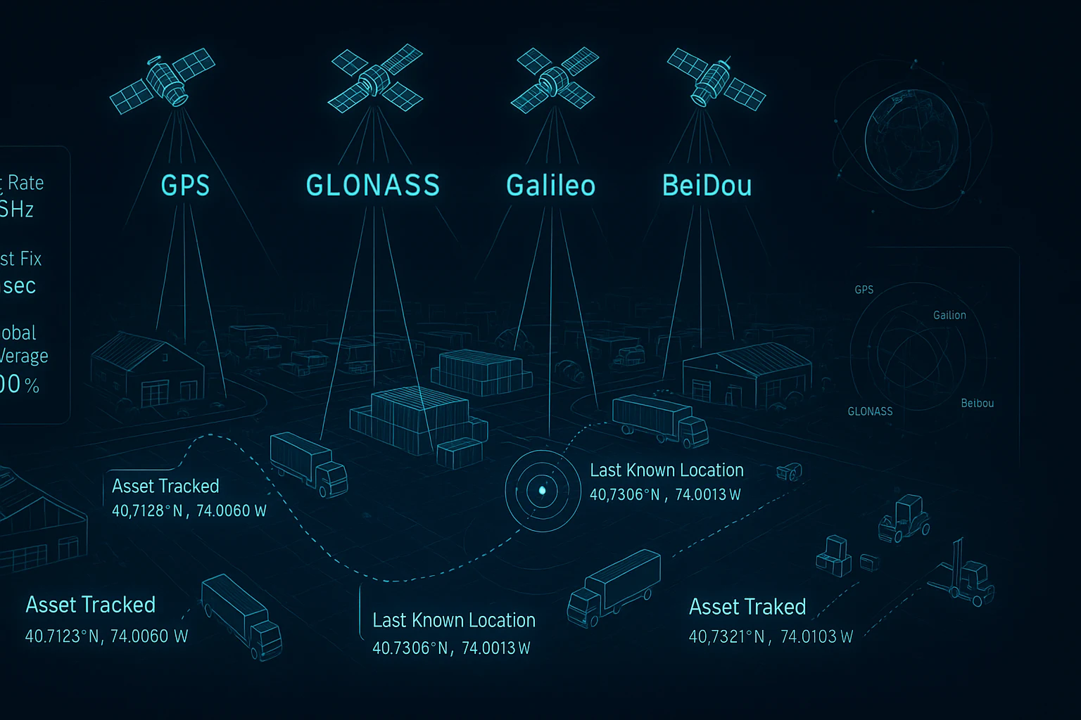
- Which constellations it supports — GPS (USA), GLONASS (Russia), Galileo (Europe), and BeiDou (China) each contribute additional satellites
- How quickly it can solve the position — the fix rate, measured in Hz
- How sensitive its receiver is — weak signal environments like urban canyons, forests, or under light cloud cover demand better receiver sensitivity
- How cleanly it filters RF interference — industrial environments, motor noise, and adjacent electronics all degrade position accuracy
When you're learning how to track assets with GPS module hardware, these are the parameters that determine whether your system performs or fails.
Fix Rate: Why 18Hz Changes Everything for Dynamic Assets
Most consumer-grade GPS modules update at 1Hz. One position fix per second. That sounds reasonable until you realize what it means for anything that moves.
A drone flying at 60 km/h (a modest cruising speed for FPV racing) travels 16.7 meters between each 1Hz position fix. Your telemetry map shows the drone jumping 16+ meters with every update — jerky, laggy, and completely inadequate for real-time control or accurate path logging.
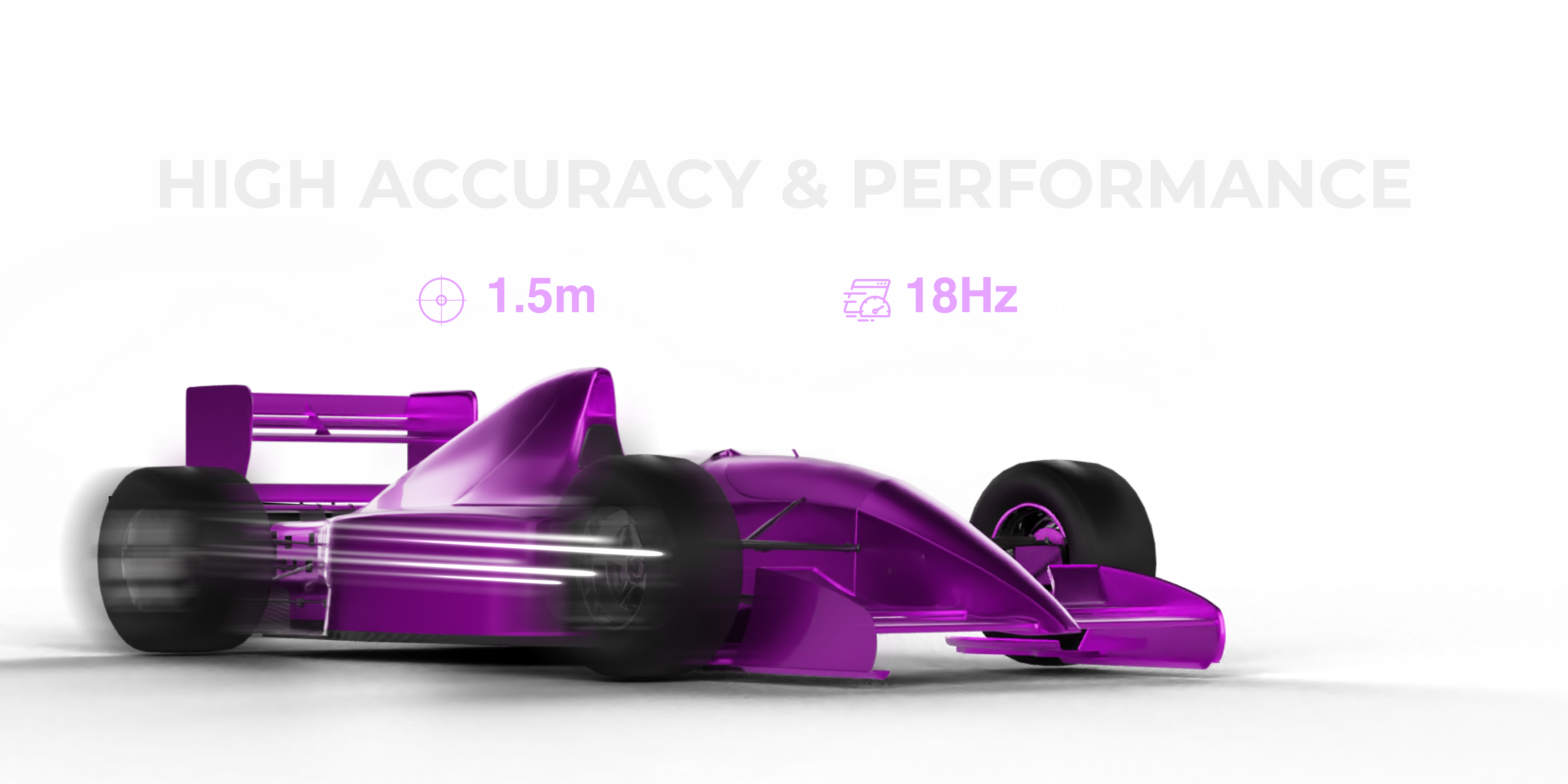
At 10Hz, that gap closes to 1.67 meters per update. At 18Hz — the fix rate of the MultiNav Pro+ — the drone travels less than 0.93 meters between position updates. Your telemetry becomes genuinely smooth. Your path logging becomes accurate. Your control system gets real position data it can actually act on.
For static or slow-moving assets — containers in a yard, field sensors, livestock trackers — a lower fix rate is acceptable. But for anything airborne, wheeled, or robotic, 18Hz is not a luxury. It is the minimum specification for useful real-time tracking.
The MultiNav Pro+ delivers 18Hz concurrent fixes with a first fix time of just 1 second under good sky conditions. For field deployments where time-to-first-fix costs battery and mission time, that matters enormously.
Accuracy: The 1.5-Meter Standard and What It Means in Practice
Position accuracy is reported as CEP (Circular Error Probable) — the radius within which 50% of reported positions will fall. A module reporting 2.5m CEP means half of all fixes land within a 2.5-meter circle of true position. The other half may be further out.
The MultiNav Pro+ achieves less than 1.5m CEP. In practical terms:
- Drone landing zones — 1.5m accuracy means autonomous returns land within a safe radius
- Survey and mapping applications — 1.5m is professional-grade for general field mapping without RTK correction
- Asset boundary alerts — geofencing at 1.5m resolution means boundary violations are real violations, not noise
- Research data logging — environmental sensors with 1.5m location tags produce publishable-quality spatial data
For comparison, standard consumer GPS (uncorrected) typically delivers 3-5m CEP. Differential GPS or SBAS-corrected modules can reach 1-2m. RTK systems reach centimeter level but require base stations and cost orders of magnitude more.
For the vast majority of builder and research applications, 1.5m accuracy with no infrastructure requirement is the practical sweet spot. Knowing how to track assets with GPS module hardware at this accuracy tier without an RTK setup is a genuine capability unlock for field-deployed systems.
Multi-Constellation Support: Why GPS Alone Is Not Enough
Relying on a single constellation — GPS only — limits your module to roughly 31 satellites in a single network. Depending on your location, time of day, and sky obstruction, you may have line of sight to only 6-8 of those at any moment.
Multi-constellation support changes the math completely.
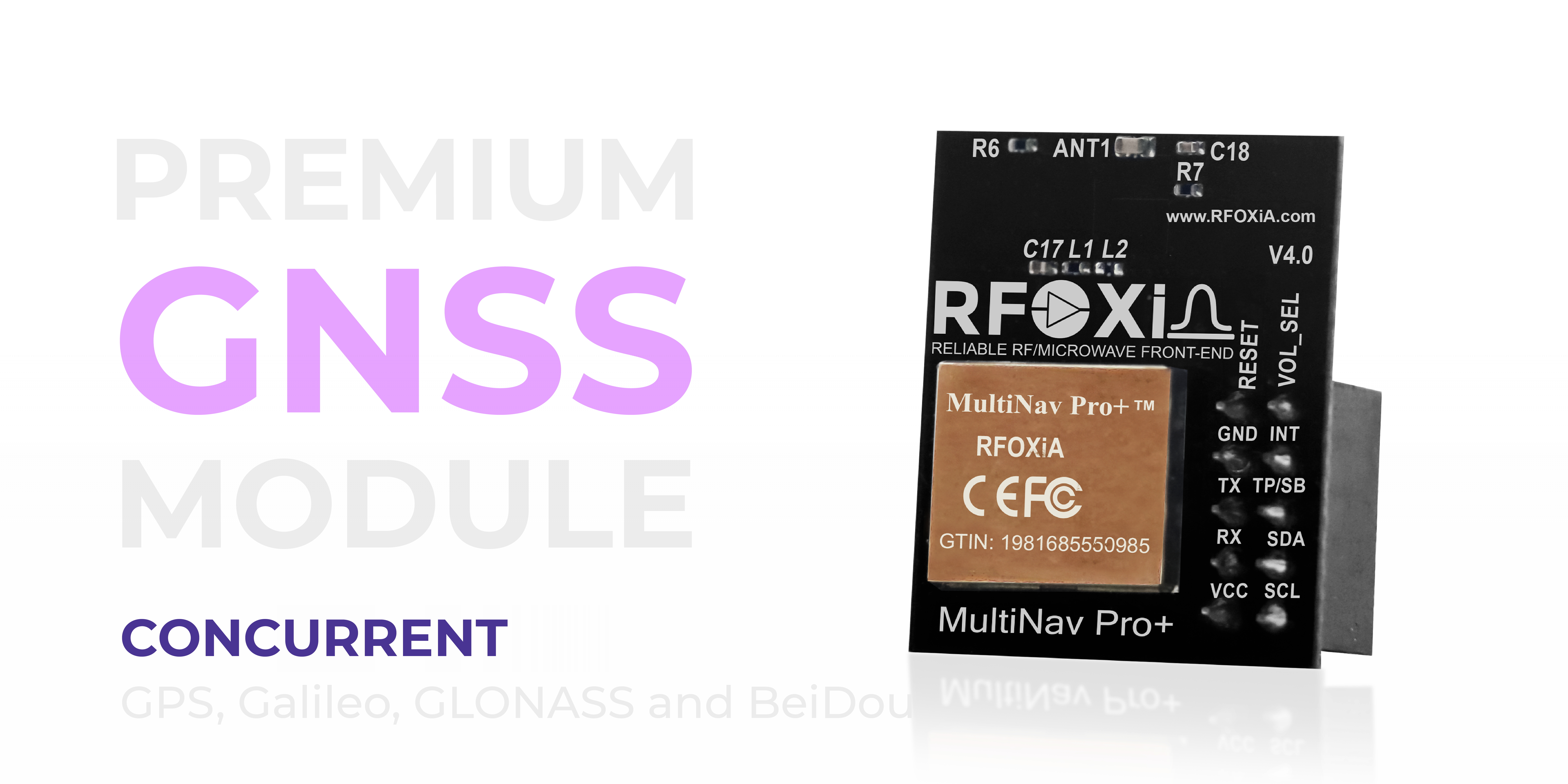
The MultiNav Pro+ supports all four major constellations concurrently:
| Constellation | Operator | Satellites |
|---|---|---|
| GPS | United States | 31 |
| GLONASS | Russia | 24 |
| Galileo | European Union | 28 |
| BeiDou | China | 46+ |
With access to 100+ satellites across four independent networks, the module has far more geometric diversity available at any given moment. The result is faster fix acquisition (under 1 second), better accuracy in partially obstructed environments, and far greater resilience to single-constellation degradation or outages.
For field-deployed asset tracking in forests, urban environments, or mountainous terrain — anywhere the sky is partially blocked — multi-constellation is the difference between a reliable fix and lost position data.
Power Efficiency and Form Factor for Embedded Deployment
Asset tracking modules spend most of their working life deployed in the field. They live in drone frames, sensor enclosures, wearables, vehicle trackers, and IoT nodes — environments where size and power consumption directly determine feasibility.
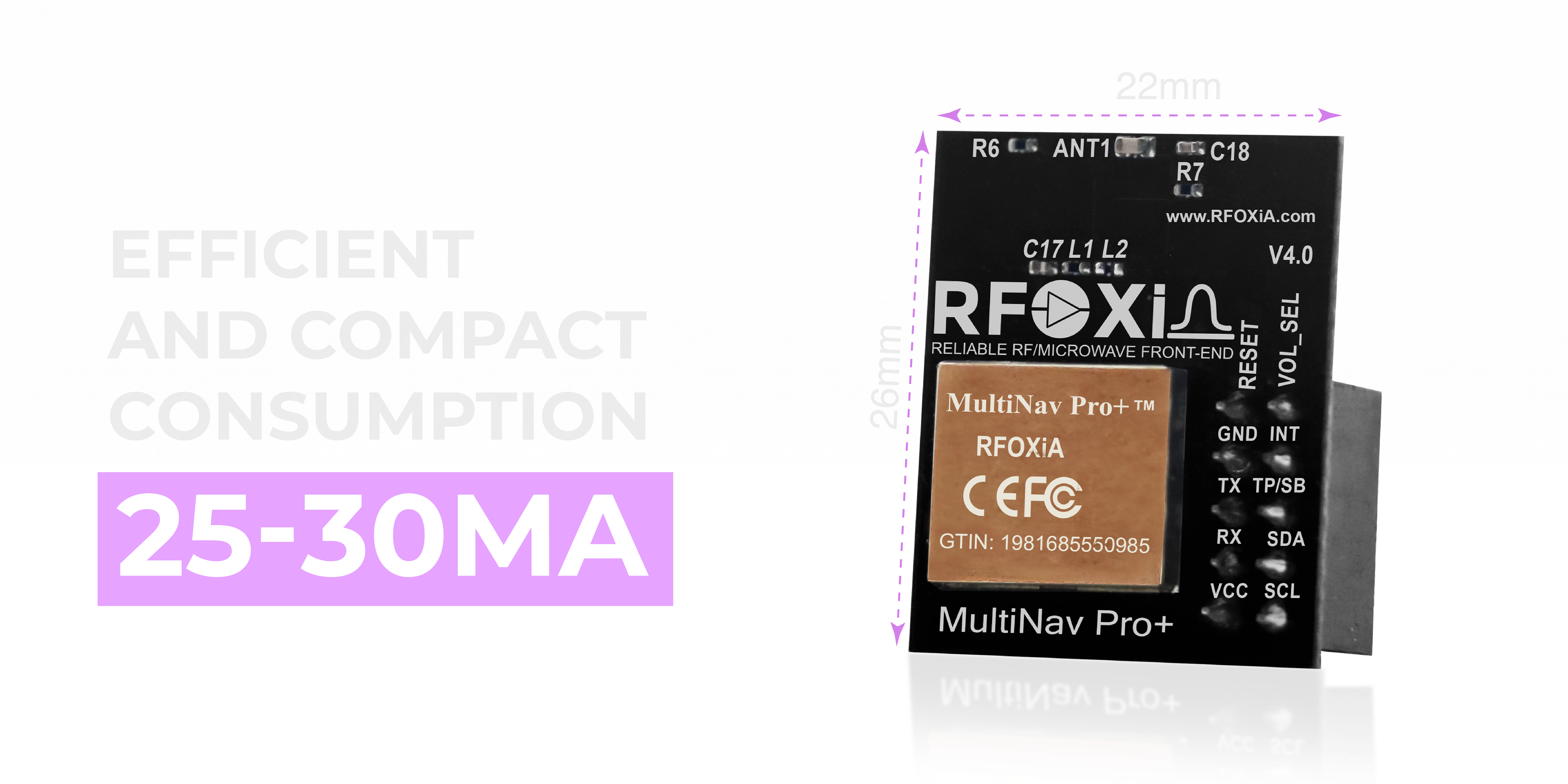
The MultiNav Pro+ measures 26mm x 22mm — genuinely compact for a module running concurrent multi-constellation tracking at 18Hz. Current draw runs 25-30mA during continuous operation, which is low enough to run continuously from small LiPo cells or integrated into battery-powered IoT systems without aggressive power management.
For comparison, many professional GNSS modules draw 80-150mA. At 30mA, the MultiNav Pro+ can run for hours on modest battery reserves — a critical advantage for any deployment where battery swaps or recharging is difficult.
The compact footprint means the module integrates cleanly into tight enclosures, drone bodies, and custom PCB designs without requiring layout compromises. For makers building their own tracking hardware, a 26mm x 22mm module with all four constellations onboard is a significant design win.
Interface Options: UART and I2C for Maximum Compatibility
One of the practical problems with learning how to track assets with GPS module hardware is interface compatibility. Different microcontrollers, single-board computers, and development environments have different preferred communication protocols.
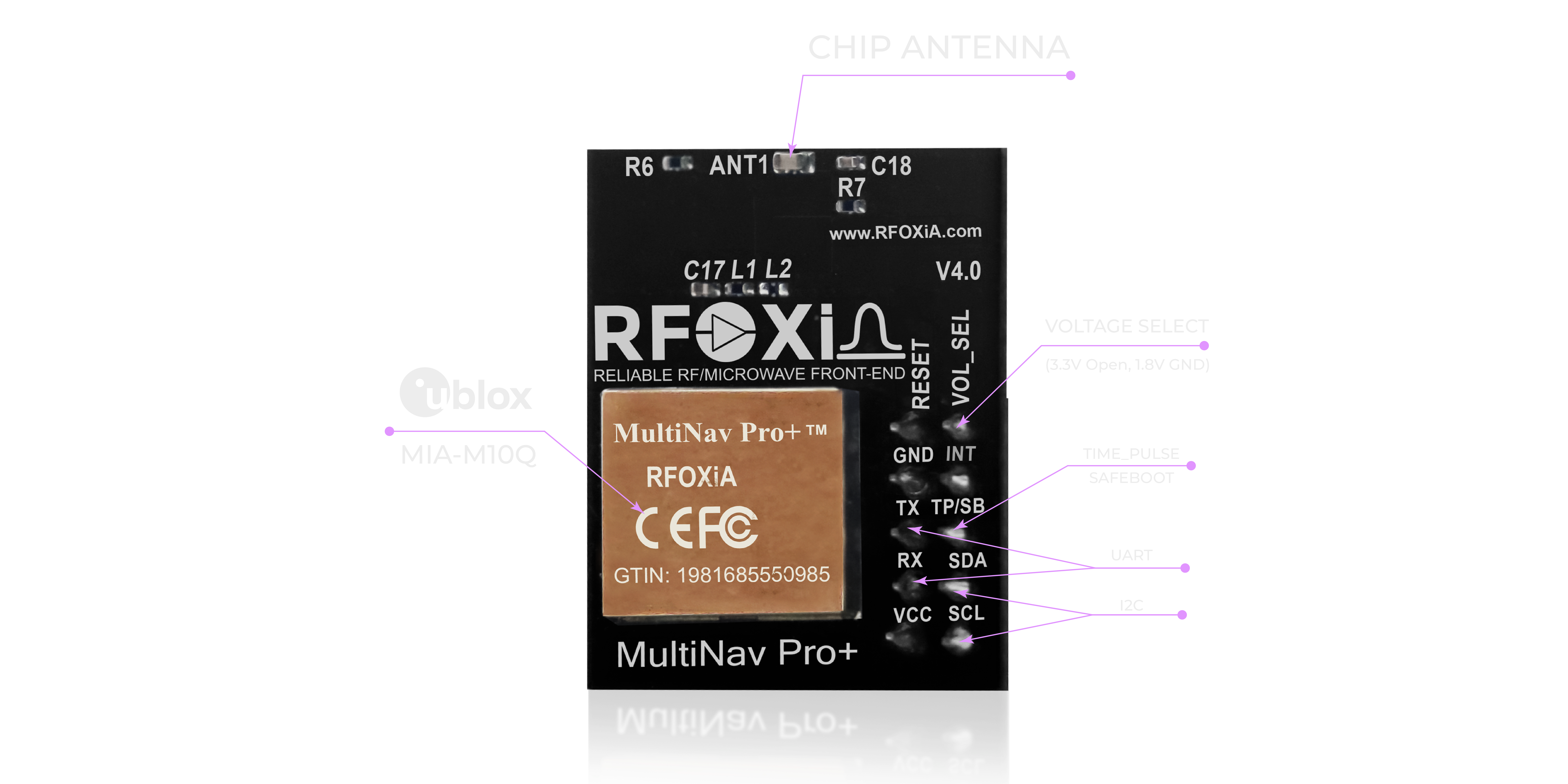
The MultiNav Pro+ supports both:
- UART (TX/RX) — the most common interface for GPS modules, supported by virtually every microcontroller and SBC. Straightforward serial communication, easy to implement.
- I2C (SCL/SDA) — ideal for systems where UART ports are already allocated, or where multiple sensors share a single bus. Allows the GNSS module to coexist with other I2C peripherals on two wires.
Voltage support covers both 1.8V and 3.3V logic levels — critical for compatibility with modern low-power microcontrollers that run at 1.8V, as well as the 3.3V ecosystem that includes most Arduino-compatible boards, ESP32, STM32, and Raspberry Pi GPIO.
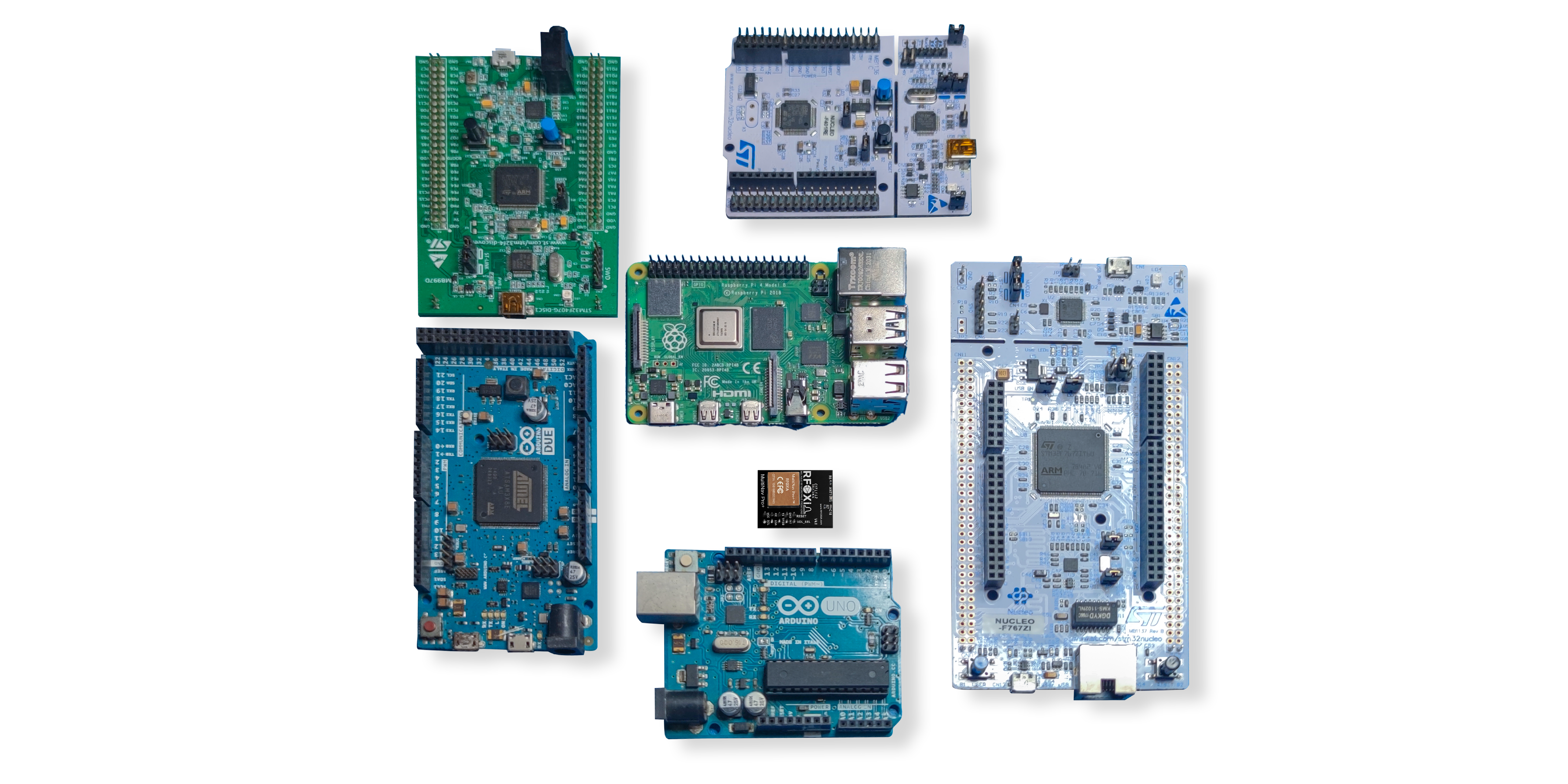
This dual-interface, dual-voltage design means the MultiNav Pro+ integrates cleanly into nearly any hardware platform without level shifters or adapter boards.
Open Source Driver: From Module to Working Code in Minutes
Hardware without software support creates a development tax. Every hour spent writing from scratch, reverse-engineering protocol documentation, or debugging communication is an hour not spent on your actual application.
The MultiNav Pro+ ships with a fully open-source C language driver library that implements NMEA standard protocol commands — the universal language of GNSS modules. The library imports directly into Arduino IDE or any GCC-based toolchain with minimal configuration.
For teams using the RFOXiA Accurate GNSS Module alongside the RFOXiA AI Firmware Builder, the time from hardware in hand to working location data in firmware can be measured in minutes, not days. Describe your application in plain language, and the AI generates production-ready firmware with full source code access.
This is particularly powerful for tracking applications: you describe the fix rate you need, the interface you're using, the data format your backend expects, and the firmware is generated to match.
U-Center Software: Visualization and Configuration
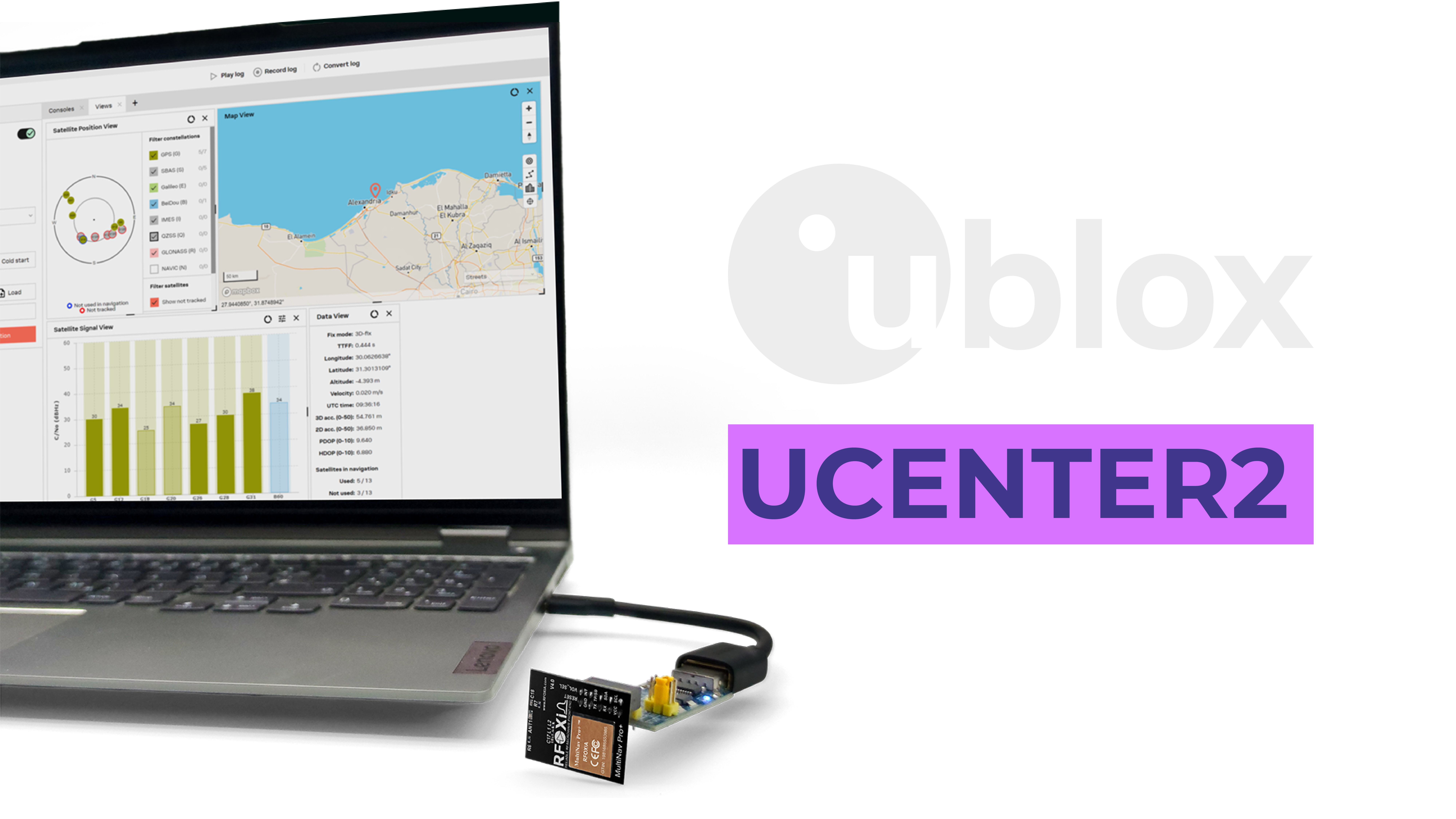
Because the MultiNav Pro+ is powered by the u-blox MIA-M10Q chip, it is fully compatible with u-blox's U-Center software — a professional-grade GUI for GNSS evaluation, configuration, and logging.
U-Center provides:
- Sky plot visualization — see exactly which satellites your module is tracking and their signal strength
- Live map tracking — watch your position update on a real map at full fix rate
- Satellite constellation filtering — enable or disable individual constellations for testing
- Fix rate configuration — adjust the output rate from the GUI without custom firmware
- Data logging — log raw NMEA or UBX binary data for post-mission analysis
- Signal quality metrics — SNR, carrier-to-noise ratio, and fix type indicators
For developers new to learning how to track assets with GPS module systems, U-Center provides an immediate visual feedback loop that makes hardware debugging intuitive. For experienced engineers, it provides the configuration depth that professional evaluation demands.
Real-World Applications: Where the MultiNav Pro+ Performs

The combination of 1.5m accuracy, 18Hz fix rate, multi-constellation support, and compact power-efficient design makes the MultiNav Pro+ applicable across a wide range of serious tracking applications:
Drone and UAV Telemetry At 18Hz, the module delivers smooth, low-latency position data to flight controllers and ground stations. Autonomous return-to-home, geofencing, and precision landing all benefit from the accuracy and update speed.
Precision Agriculture Field robots and autonomous implements need accurate position data to maintain row spacing, apply inputs at the correct coordinates, and map coverage accurately. 1.5m accuracy is sufficient for most broadacre applications without RTK infrastructure.
Field Research and Environmental Monitoring Researchers deploying sensor arrays need accurate location tags on every data point. GPS-verified outdoor location is also the validation mechanism for the RFOXiA data network, where nodes earn daily rewards for verified environmental data streaming.
Industrial Asset Tracking High-value equipment, vehicles, and mobile infrastructure in industrial environments benefit from accurate location data with resilience to partial sky obstruction. Multi-constellation support maintains fix quality where GPS-only modules struggle.
Wearables and Personal Tracking At 26mm x 22mm and 25-30mA, the module fits in wearable enclosures and runs for extended periods on compact batteries — enabling personal tracking, outdoor adventure devices, and safety wearables.
Robotics and Autonomous Ground Vehicles Outdoor robots need reliable position data to navigate, map, and return home. The MultiNav Pro+ provides the fix rate and accuracy needed for responsive real-world navigation without infrastructure dependencies.
Integrating the MultiNav Pro+ into the RFOXiA Ecosystem
The MultiNav Pro+ is not a standalone product — it is one component in an integrated development ecosystem. When paired with the RFOXiA BLE Module (5km ground-to-ground, 15-20km man-to-drone range), the Sensors Module (7 environmental sensors), and the Power/Program Kit (5-minute charge, 24-hour runtime), the complete Developer Bundle becomes a professional wireless asset tracking and monitoring platform that ships ready to deploy.
The RFOXiA Connect app displays live GPS position on a map alongside real-time sensor data — all over a long-range Bluetooth connection that works completely without internet or cellular infrastructure. For remote field deployments, this is a fundamental capability that no cloud-dependent tracking solution can match.
For developers ready to build production tracking applications, the RFOXiA Accurate GNSS Module is available now at $49, FCC certified, with open-source drivers and full ecosystem compatibility.
Choosing the Right GPS Module for Your Asset Tracking Application
When you are evaluating how to track assets with GPS module hardware for a specific application, use this decision framework:
1. What is the maximum velocity of your asset? Above 30 km/h: require 10Hz minimum, prefer 18Hz. Below 30 km/h: 1-5Hz may be acceptable.
2. What accuracy do you actually need? General location awareness: 5m acceptable. Geofencing, precision navigation, research data: require 1.5-2m. Centimeter precision: RTK required.
3. What is your sky environment? Open field: any constellation will perform. Urban, forest, mountainous: require multi-constellation.
4. What is your power budget? Battery constrained: prioritize modules under 30mA. Powered asset: less critical.
5. What interface does your system use? Verify UART or I2C compatibility before purchasing. Check voltage compatibility.
6. Do you need integrated software support? If yes: prioritize modules with open-source libraries and GUI tooling.
For most serious maker, research, and professional IoT applications, the MultiNav Pro+ meets or exceeds every criterion on this list at a price point — $49 — that is accessible to individual developers and small teams.
Conclusion: Professional GNSS Tracking Without the Professional Price Tag
Knowing how to track assets with GPS module hardware is only half the equation. The other half is choosing hardware that actually delivers the accuracy, update rate, and reliability your application demands — without requiring a six-figure budget or military procurement channels.
The MultiNav Pro+ represents a genuine step change in what's available to the maker and professional developer market: 1.5m accuracy, 18Hz fix rate, concurrent GPS/GLONASS/Galileo/BeiDou support, dual-interface connectivity, professional-grade power efficiency, open-source driver library, and u-blox U-Center compatibility — all in a 26mm x 22mm FCC-certified module at $49.
For builders who are serious about location-aware systems, this is the module that closes the gap between "good enough" and actually works in the field.
Explore the full specs and order the RFOXiA Accurate GNSS Module and start building tracking systems that perform where it counts.
Written by: Moamen Mohamed LinkedIn