
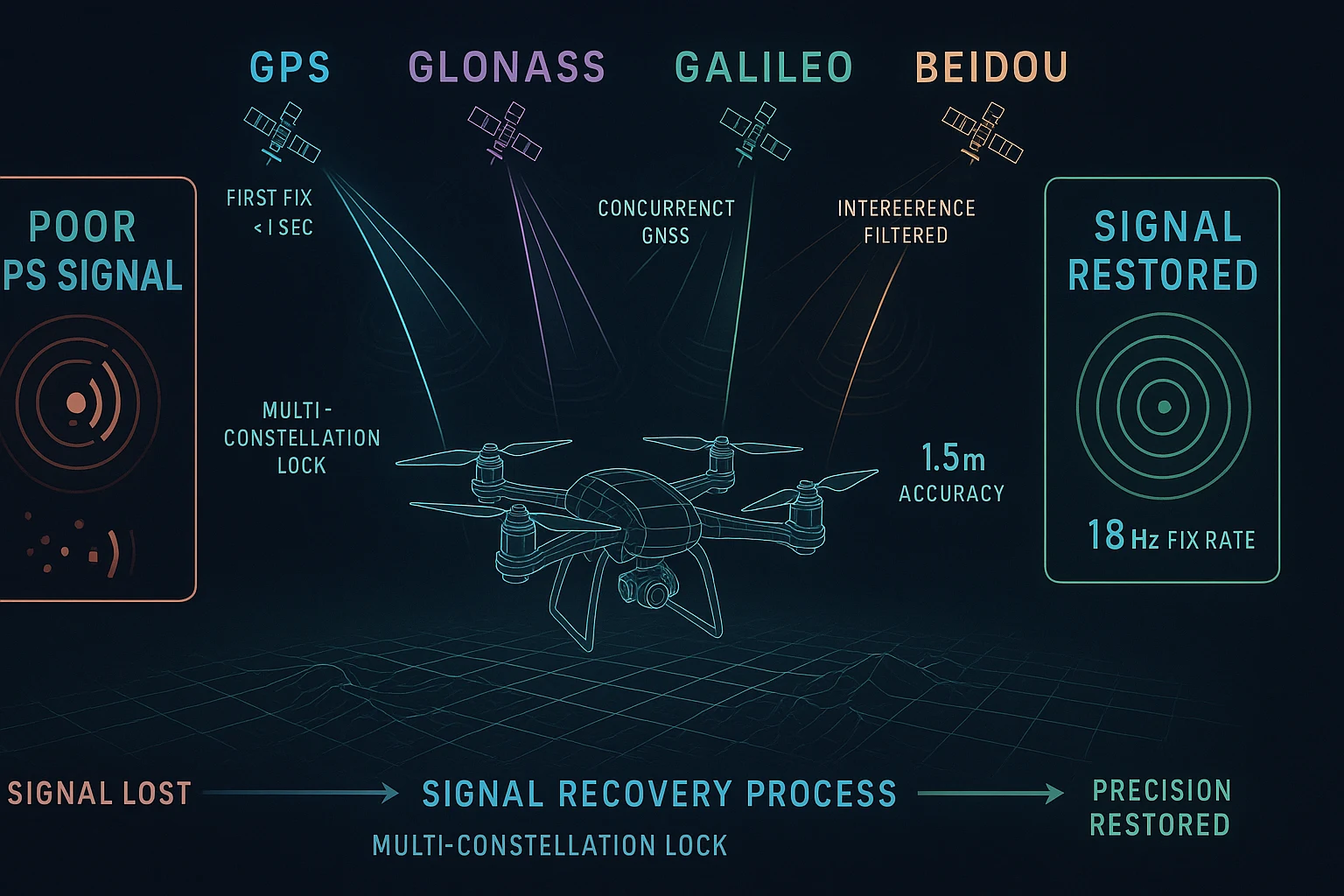
Poor GPS Signal Drone Fix: Everything You Need to Know
Stop Losing Position Lock Mid-Flight — Here's the Real Poor GPS Signal Drone Fix
If you've ever watched your drone drift unexpectedly, fail to hold position, or refuse to arm because it can't acquire satellites, you already know how frustrating a poor GPS signal drone fix problem can be. It isn't just an inconvenience — it's a safety issue, a mission failure, and in some cases, a very expensive crash.
This guide breaks down exactly why drones suffer GPS signal problems, what the most common causes are, how to diagnose them systematically, and — most importantly — how to solve them permanently with the right hardware. Whether you're a freestyle FPV pilot, a professional mapping operator, or an embedded developer building a custom autonomous platform, everything here applies directly to your workflow.
What Actually Causes Poor GPS Signal on a Drone?
Before you can fix a poor GPS signal drone fix problem, you need to understand what's causing it. There are several culprits, and most experienced builders have encountered all of them at some point.
1. Electromagnetic Interference (EMI) from Onboard Electronics
This is the number one cause of GPS degradation on custom drone builds. Your ESCs, power distribution board, video transmitter, and even the flight controller itself generate RF noise across a wide frequency spectrum. Standard GPS operates at 1575.42 MHz (L1 band) and 1227.60 MHz (L2 band). If your electronics are radiating noise anywhere near those frequencies — or generating harmonic interference that reaches them — your GPS receiver is going to struggle.
The symptom is usually inconsistent satellite counts: you might get 8-10 satellites on the bench, but drop to 4-5 in the air when the motors are spinning and current is flowing.
2. Physical Placement and Shielding
Mounting a GPS module directly above a power distribution board or beneath a carbon fiber canopy is asking for trouble. Carbon fiber is conductive and acts as a partial Faraday cage, attenuating the weak signals coming from satellites 20,000 kilometers overhead. Every dB of signal loss at the antenna translates directly to fewer satellites acquired and worse accuracy.
The standard guidance — mount the GPS on a mast, as high and as far from noise sources as possible — exists for a reason.
3. Cold Start Delays and TTFF (Time to First Fix)
Many builders misdiagnose a slow Time to First Fix (TTFF) as a signal problem. A GNSS receiver that hasn't been used in days or has been moved significantly since its last fix needs to download fresh almanac data from satellites. This can take several minutes on older or lower-quality modules, especially in marginal signal conditions. The result looks like "no GPS" but is actually just a slow cold start.
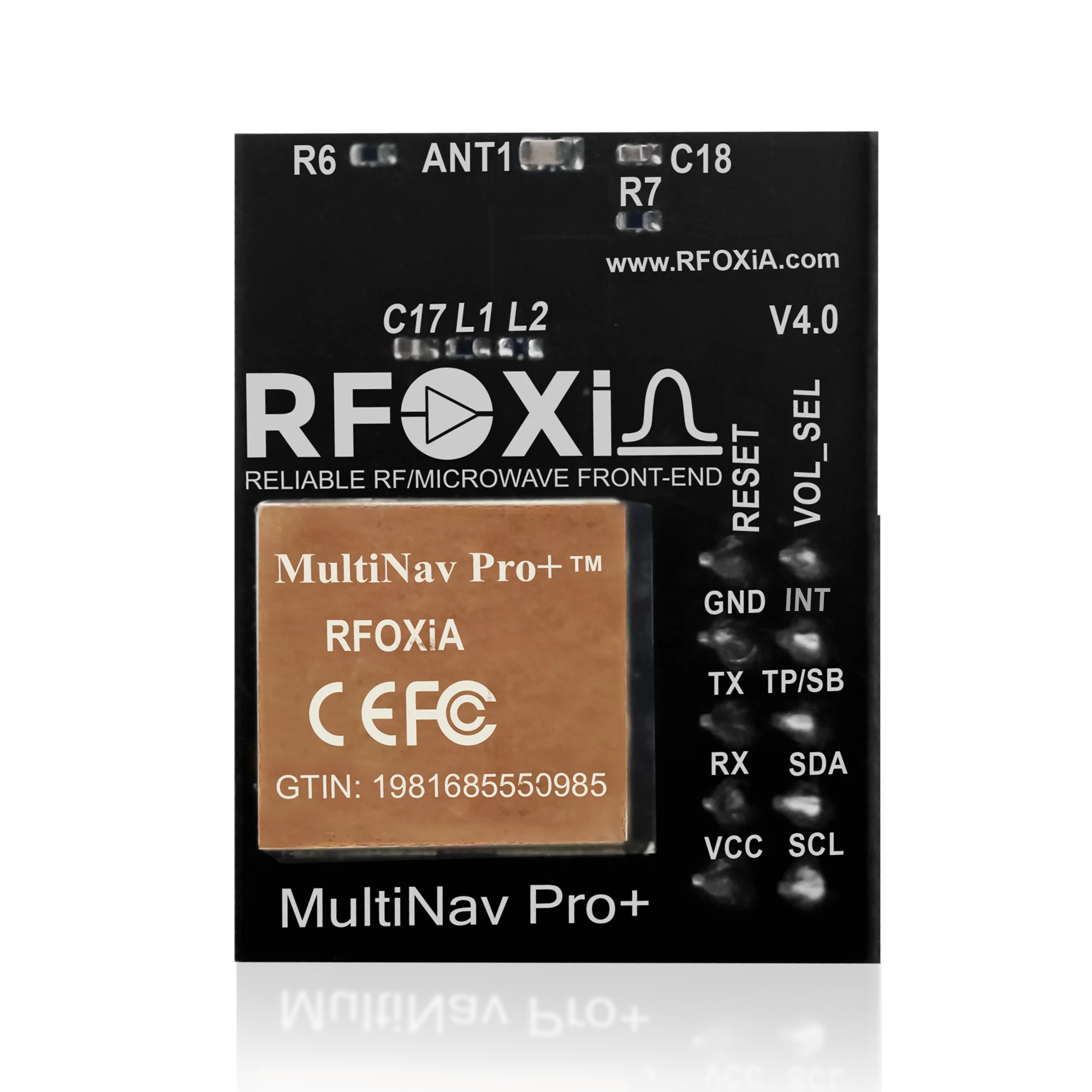
A quality module with a fast first-fix engine can reduce cold start time dramatically — the MultiNav Pro+ achieves first fix in just 1 second under clear sky conditions.
4. Antenna Quality and Design
Not all GPS antennas are created equal. Cheap ceramic patch antennas with poor ground plane implementation can have gain figures 6-10 dB below a properly designed antenna. That's a massive difference in signal margin. An integrated chip antenna with proper RF layout — like the design used in the MultiNav Pro+ — provides consistently better signal reception in a compact form factor compared to generic solutions.
5. Satellite Constellation Support
Older GPS modules only receive signals from the US GPS constellation. Modern GNSS receivers support multiple constellations — GPS, GLONASS, Galileo, and BeiDou — simultaneously. The difference in satellite availability is significant: a GPS-only receiver might see 8-10 satellites overhead at any given time, while a multi-constellation receiver can see 20-30. More satellites means better geometry, better accuracy, and critically, a much more robust fix that doesn't fail when a few satellites are blocked by buildings or terrain.
Diagnosing Your Poor GPS Signal Drone Fix Issue Step by Step
Before replacing hardware, run through this diagnostic checklist. It will save you time and money.
Step 1 — Bench test without motors armed. Place your drone outside in open sky, no motors running, and record the satellite count and HDOP (Horizontal Dilution of Precision) after a 5-minute warm-up. If you're getting 12+ satellites and HDOP below 1.5, your hardware is likely fine and the problem is interference from motors/ESCs.
Step 2 — Motor test with props removed. Arm the motors at low throttle with props removed. Watch the satellite count in real time through your ground station software. If the count drops from 12 to 6 when motors spin up, you have an EMI problem. Shielding, rerouting power cables, and physically separating the GPS module are the fixes.
Step 3 — Check antenna orientation and obstructions. The GPS antenna must face upward with a clear view of the sky. Any conductive material above it — including carbon fiber, aluminum frames, or metal battery straps — will degrade performance.
Step 4 — Evaluate your module's specs. If you've ruled out installation issues and you're still experiencing poor GPS signal drone fix problems, the module itself may simply be underspecified for professional use. Update rate matters enormously for drones. A module updating at 1Hz on a vehicle moving at 15 m/s is reporting a position that could be 15 meters stale. For dynamic platforms, you want 10Hz minimum — and ideally 18Hz.
Why Update Rate Matters More Than Most Pilots Realize
This is the point where many builders discover their GPS signal problem isn't really about signal at all — it's about data rate.
A standard 1Hz GPS module updates position once per second. A drone moving at 60 km/h covers approximately 16.7 meters per second. That means your flight controller is making navigation decisions based on a position report that could represent a location 16+ meters behind where you actually are. Position hold oscillations, velocity estimation errors, and return-to-home inaccuracies often trace directly back to this issue.
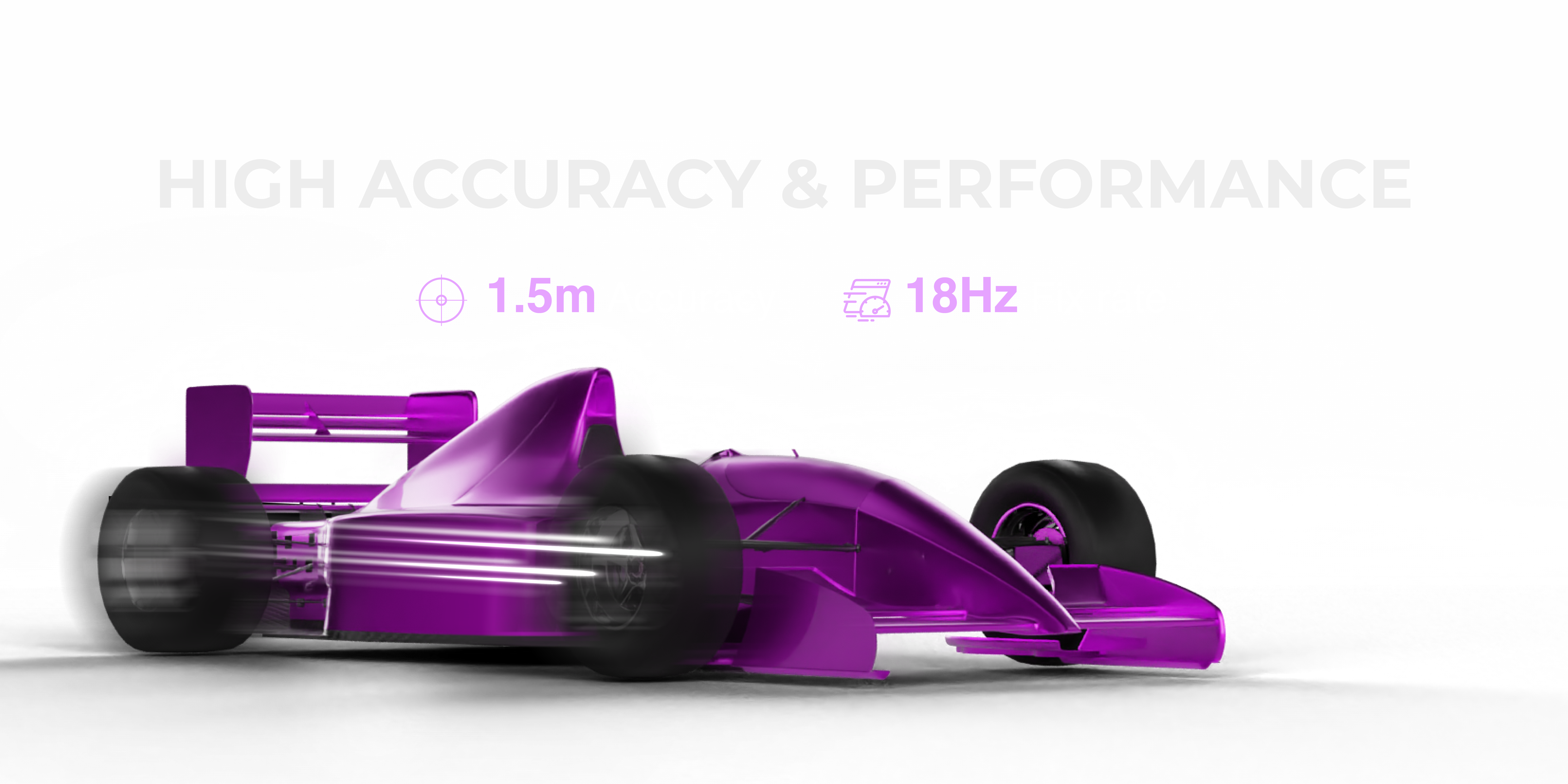
The MultiNav Pro+ runs at 18Hz — eighteen position updates per second. At 60 km/h, that's a new position report every 0.9 meters traveled. The flight controller has dramatically more accurate, current data to work with. The practical result is tighter position hold, smoother velocity-controlled flight modes, and significantly more reliable autonomous mission execution.
The Hardware Upgrade That Actually Solves the Problem
Once you've addressed installation issues and EMI concerns, the most impactful single upgrade you can make to solve a persistent poor GPS signal drone fix issue is replacing a generic GPS module with a precision multi-constellation GNSS module built specifically for dynamic platforms.
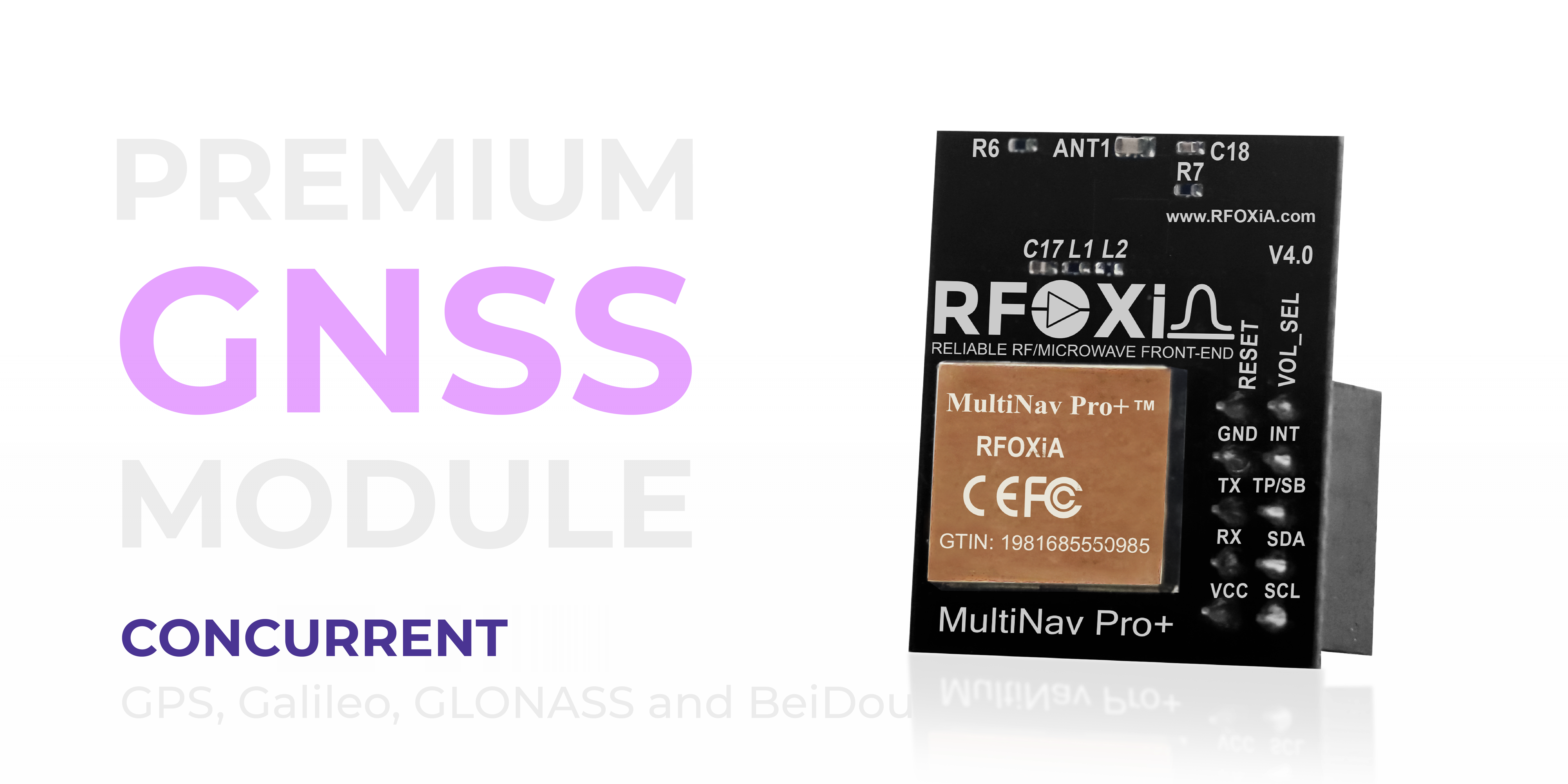
The RFOXiA Accurate GNSS Module — the MultiNav Pro+ — was designed with exactly this use case in mind. Here's what separates it from generic GPS modules:
u-blox MIA-M10Q chipset. u-blox is the industry standard for professional GNSS applications. The MIA-M10Q is their latest generation chip, delivering best-in-class sensitivity, multipath rejection, and jamming resistance. This is the same caliber of chip used in professional survey equipment and automotive navigation systems — now available in a maker-accessible module at $49.
Concurrent four-constellation support. GPS, GLONASS, Galileo, and BeiDou simultaneously. More satellites overhead means better geometric dilution of precision (GDOP), which directly translates to better accuracy and a fix that doesn't fail when satellites are partially blocked.
1.5-meter accuracy. Under clear sky conditions with multi-constellation fix active, the MultiNav Pro+ achieves sub-1.5 meter position accuracy. For professional mapping, precision landing, and geofenced autonomous operations, this is the specification that matters.
18Hz fix rate. Already discussed above — this is the specification that transforms GPS from a coarse position reference to a real-time navigation input suitable for high-speed dynamic platforms.
Advanced RF filtering. The module incorporates proprietary RF/microwave microstrip filter technology that actively suppresses out-of-band interference. This directly addresses the EMI problem described earlier — the module is designed to maintain clean signal acquisition even in electrically noisy environments like a drone's electronics bay.
Size, Power, and Integration: No Compromises
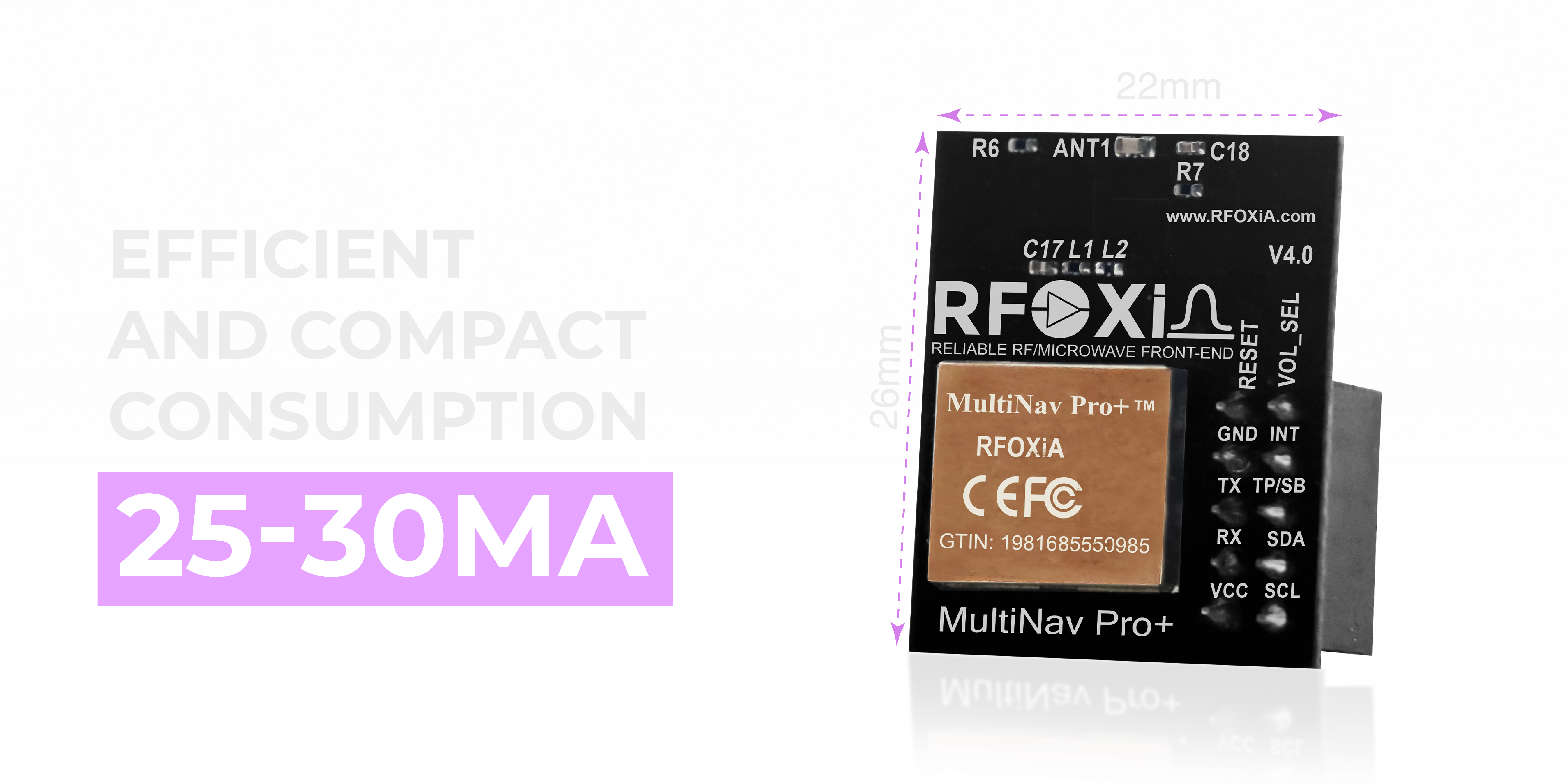
One concern builders sometimes have about upgrading to a higher-performance GNSS module is size and power consumption. Professional-grade modules from survey equipment manufacturers are physically large and power-hungry — entirely unsuitable for drone integration.
The MultiNav Pro+ is 26mm x 22mm and draws 25-30mA during operation. That's smaller than a postage stamp and draws less current than a single LED. The compact footprint means it mounts cleanly on any drone frame, and the low power consumption means it adds negligible load to your power budget even on small 3-5" builds.
Interface Options for Any Flight Controller or Microcontroller
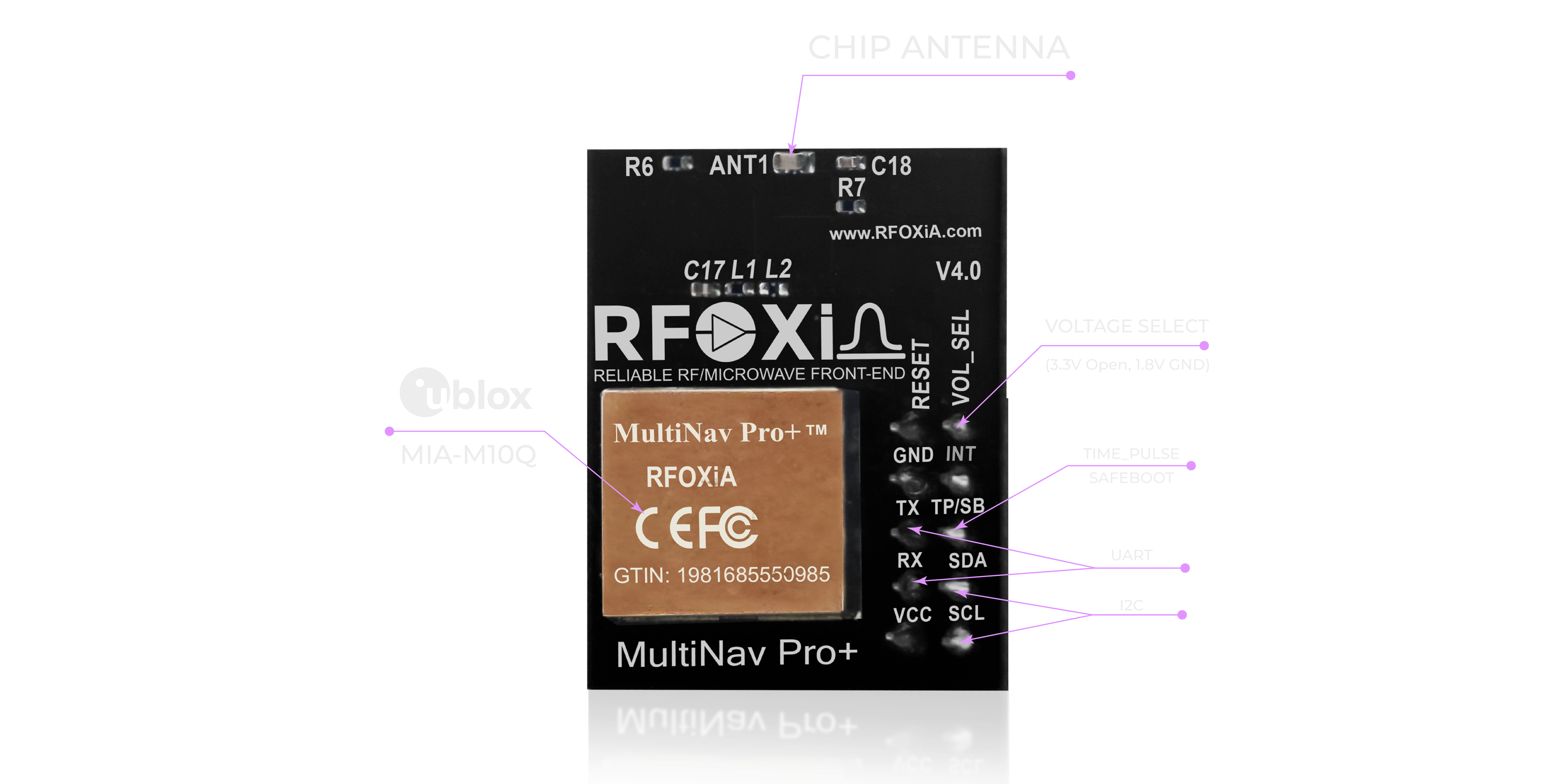
The MultiNav Pro+ supports both UART and I2C interfaces, which means it's compatible with essentially every flight controller and microcontroller platform in use today — ArduPilot, Betaflight, PX4, iNav, STM32, Arduino, ESP32, Raspberry Pi, and custom embedded platforms.
Voltage compatibility covers both 1.8V and 3.3V logic levels, so there are no level-shifting headaches when integrating with modern low-voltage processors.
For developers building custom platforms, the UART output delivers standard NMEA protocol sentences that any GPS parsing library can handle immediately.
Open Source Driver: From Unboxing to Running Code in Minutes

Every MultiNav Pro+ ships with access to a fully open-source C language driver library. The library implements NMEA standard protocol parsing and wraps it in clean, well-documented functions that work directly in Arduino IDE or any embedded C/C++ toolchain.
For drone builders, this means your GPS integration isn't dependent on proprietary software or a vendor's closed ecosystem. You have the full source code, you understand what it's doing, and you can modify it freely for your specific application.
For developers who want even faster firmware development, RFOXiA's AI Firmware Builder — integrated into RFOXiA Club — can generate complete production-ready firmware for your specific GNSS application in plain English. Describe what you need, and the AI generates the code. It doesn't replace your engineering judgment, but it eliminates the hours of boilerplate implementation work.
Visualize and Configure with u-Center Software
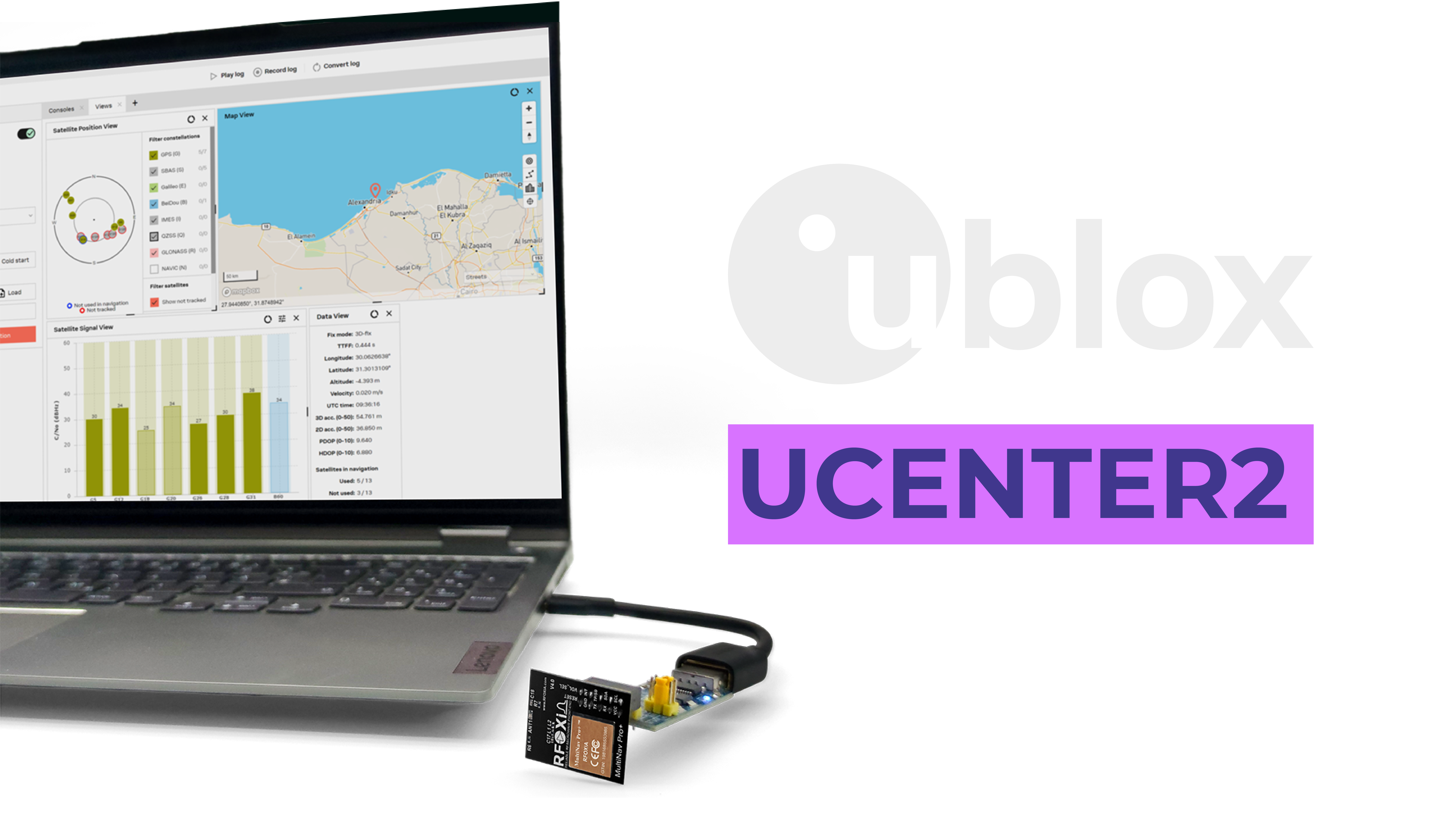
Because the MultiNav Pro+ is built on genuine u-blox silicon, it's fully compatible with u-Center — u-blox's professional GNSS configuration and analysis software. u-Center gives you:
- Sky plot visualization — see exactly which satellites are being tracked, their elevation and azimuth, and their signal strength in real time
- Constellation filtering — enable or disable individual constellations for testing or regional optimization
- Position logging — record track data with full metadata for post-flight analysis
- Fix quality monitoring — real-time HDOP, PDOP, accuracy estimates, and satellite health indicators
- Configuration management — set update rate, protocol settings, power modes, and save configuration to non-volatile memory
This is the same tool that professional survey engineers use to evaluate and configure their equipment. Having it available on a $49 module is a genuine advantage for serious builders who need to understand exactly what their GPS system is doing.
Real-World Use Cases Beyond Drone Navigation

While solving the poor GPS signal drone fix problem is one of the most immediate applications, the MultiNav Pro+ is designed for a much broader range of deployment scenarios:
Asset tracking systems — High fix rate and concurrent constellation support makes the module ideal for tracking fast-moving assets where a slow or sparse update rate would create gaps in coverage.
Precision agriculture — Sub-1.5 meter accuracy enables GPS-guided implement control, field boundary mapping, and autonomous vehicle navigation in agricultural settings.
IoT environmental monitoring — When used with the RFOXiA Sensors Module, GNSS location data enables GPS-verified outdoor environmental data collection — a requirement for participating in the RFOXiA Data Network and earning daily rewards from verified data contributions.
Robotics and autonomous vehicles — Ground robots, autonomous surface vehicles, and UAV systems all benefit from the combination of high accuracy, high update rate, and robust multi-constellation fix.
Research and scientific instrumentation — Researchers needing accurate time-tagged position data for field measurements benefit from the module's precision and open data output.
Wearable and portable devices — The compact form factor and low power draw make the MultiNav Pro+ practical for battery-powered portable devices where size and power budget are constrained.
Integrating GNSS Into the RFOXiA Ecosystem
For builders who want more than just GPS, the MultiNav Pro+ integrates directly into the complete RFOXiA hardware ecosystem. Pairing the GNSS module with the BLE Module enables live GPS position data to stream over the long-range BLE link — displayed in real time on the RFOXiA Connect app's live map, at ranges up to 20km for man-to-drone configurations.
This combination turns a GPS fix into a live tracking feed, visible on your phone without any internet connection, cell towers, or external infrastructure. It's a capability that typically requires dedicated telemetry hardware and a separate ground station — the RFOXiA ecosystem delivers it in a compact, integrated package.
The Developer Bundle combines the GNSS Module, BLE Module, Sensors Module, and Power/Program Kit into one complete kit. For builders who want to eliminate every poor GPS signal drone fix concern and build a complete wireless sensing and communication platform simultaneously, it's the most cost-effective entry point.
You can explore the full GNSS module specification and purchase directly at the RFOXiA Accurate GNSS Module product page.
Best Practices Summary: Permanently Fix Your GPS Signal Issues
Here's the complete framework for addressing poor GPS signal drone fix problems, from quick wins to hardware upgrades:
Installation Best Practices:
- Mount GPS on a mast at least 3-5cm above the highest point of the frame
- Keep GPS module away from ESCs, VTX, and power wiring
- Avoid placing any conductive material — especially carbon fiber — between the antenna and the sky
- Twist power and ground wires together to reduce magnetic field radiation
- Add ferrite chokes to ESC signal wires if EMI is suspected
Firmware Settings:
- Set GPS baud rate high enough to support your desired update rate (115200 for 18Hz operation)
- Enable multi-constellation mode in your flight controller GPS settings
- Set GPS minimum satellites threshold appropriately — 6 is a reasonable minimum for flight authorization
- Enable GPS glitch detection in ArduPilot or equivalent in your FC firmware
Hardware Upgrade Path:
- Replace generic GPS modules with a precision multi-constellation module
- Prioritize modules with: 18Hz update rate, sub-2m accuracy, multi-constellation support, and professional-grade chipsets
- Choose modules with integrated filtering for noise rejection in electrically complex builds
Final Thoughts
A poor GPS signal drone fix problem is almost never unsolvable. The root cause is always one of a finite set of issues — interference, installation, antenna design, or module capability — and each one has a direct solution.
For builders who have addressed installation and interference issues and are still hitting the limits of their current GPS hardware, upgrading to a professional-grade multi-constellation GNSS module is the single most impactful improvement available. The MultiNav Pro+ was built specifically to close the gap between cheap generic GPS modules and expensive professional survey equipment — delivering 1.5-meter accuracy, 18Hz update rate, concurrent four-constellation support, and u-blox professional-grade silicon at a price point accessible to any serious maker or developer.
If you're ready to eliminate GPS uncertainty from your builds permanently, start at the RFOXiA Accurate GNSS Module page. The module ships FCC certified, includes the open-source driver library, and integrates directly into the RFOXiA ecosystem for builders who want to go further.
Build with precision. Navigate with confidence.
Written by: Moamen Mohamed LinkedIn