
Precision Agriculture GPS Module: Why the MultiNav Pro+™ Is the Hardware Upgrade Your Field Operations Need
The Best Precision Agriculture GPS Module for Builders, Drone Operators, and Field Researchers
If you have ever tried to build a reliable GPS-enabled system for agricultural automation, drone navigation, or outdoor IoT deployments, you already know the frustration. Generic GPS modules from commodity suppliers give you coordinates that are accurate to 3 to 5 meters on a good day, fix rates so slow that a fast-moving drone has already traveled 10 meters before the position updates, and zero integration support when you need it most. For precision agriculture applications specifically, those margins are not acceptable. A variable-rate sprayer that is off by 5 meters in a row-crop field wastes inputs and damages yield. An autonomous drone that cannot track its position at 18Hz loses the thread of its mapping mission the moment it picks up any speed.
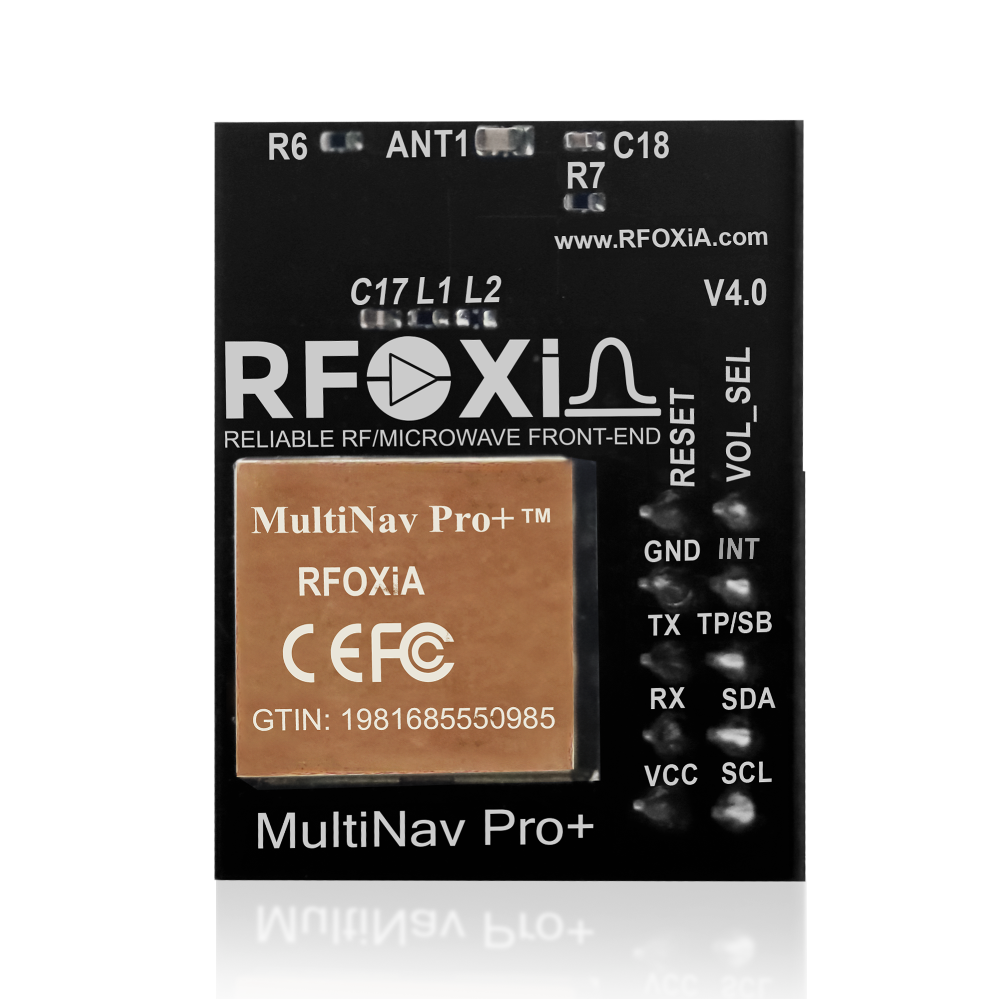
The RFOXiA Accurate GNSS Module — the MultiNav Pro+™ — was designed precisely to fill this gap. It is a professional-grade precision agriculture GPS module built around the latest u-blox MIA-M10Q chip, engineered for concurrent multi-constellation reception, and priced at $49 so that independent developers, small agri-tech startups, and hardware builders can actually afford to use it.
This post is a complete deep-dive into what makes the MultiNav Pro+ genuinely different, who it is built for, how it performs in demanding field applications, and why it represents the current benchmark for a precision agriculture GPS module at this price point.
What Is a Precision Agriculture GPS Module and Why Does It Matter?
Precision agriculture — also called precision farming or precision agri — is the practice of using geospatial data to manage variability in crops, soil, and environmental conditions at a sub-field level. Instead of applying a uniform rate of fertilizer, water, or pesticide across an entire field, precision agriculture systems use GPS-guided equipment and sensor data to apply exactly the right input at exactly the right location.
The core requirement for any precision agriculture GPS module is accuracy. Agricultural equipment must know where it is within roughly 1 to 2 meters to execute variable-rate application plans and generate high-resolution field maps. It must also update that position frequently enough to keep up with the speed of the equipment — tractors move at 5 to 15 km/h, and agricultural drones can move significantly faster during mapping passes.
Standard GPS accuracy using uncorrected signals is 3 to 5 meters. That is not sufficient for most precision agriculture workflows. The MultiNav Pro+ achieves less than 1.5 meters of positional accuracy without differential correction, through a combination of multi-constellation reception, advanced RF filtering, and a high-sensitivity chip antenna. For many drone mapping, crop monitoring, and IoT sensor node applications, that is exactly the specification needed.
The Hardware: Built on the u-blox MIA-M10Q
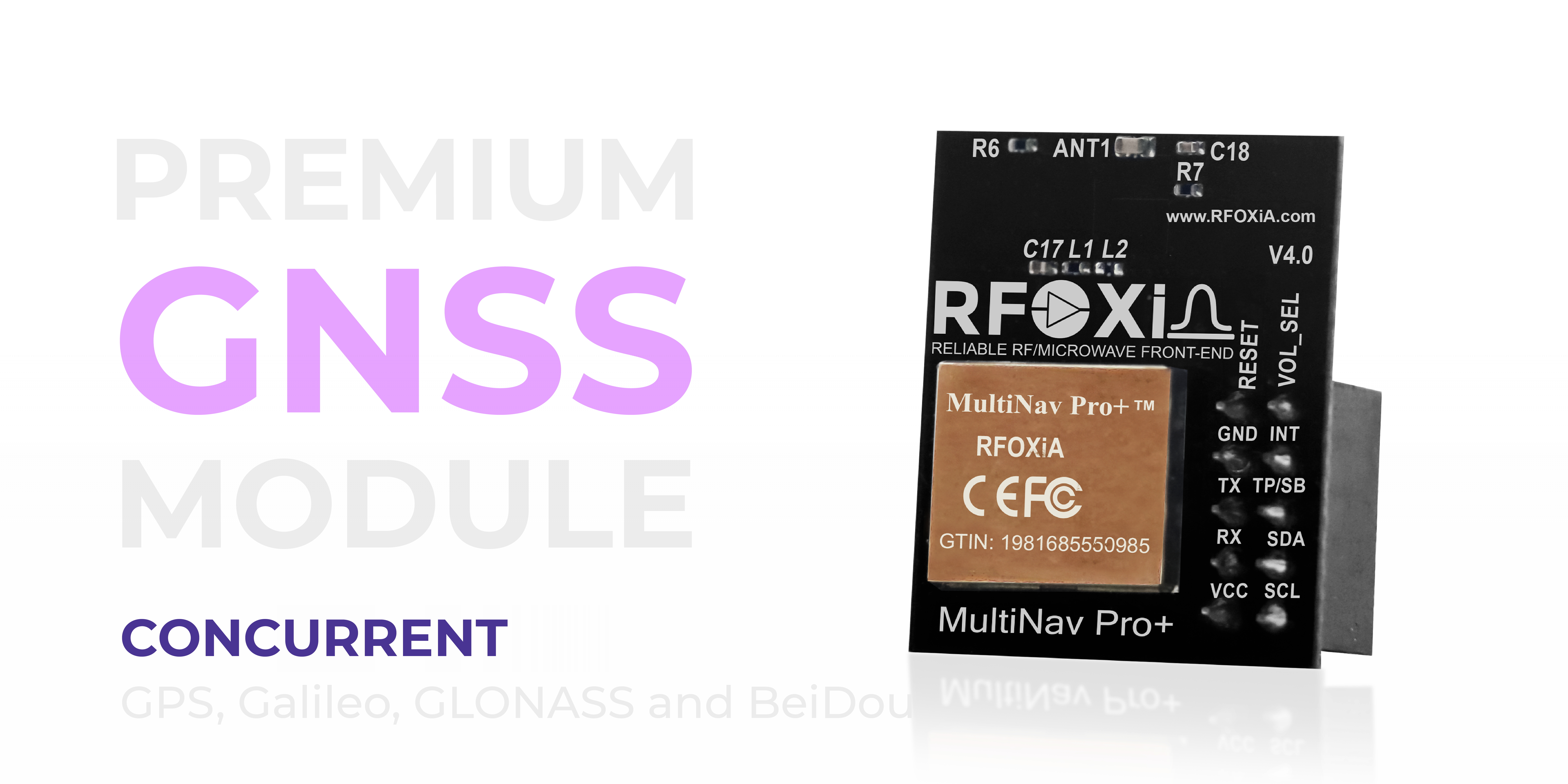
The foundation of the MultiNav Pro+ is the u-blox MIA-M10Q, one of the most advanced compact GNSS chips currently available for embedded applications. U-blox has been the benchmark supplier of GNSS chips for professional and industrial applications for over two decades, and the MIA-M10Q represents their current generation of ultra-low-power, high-performance receivers.
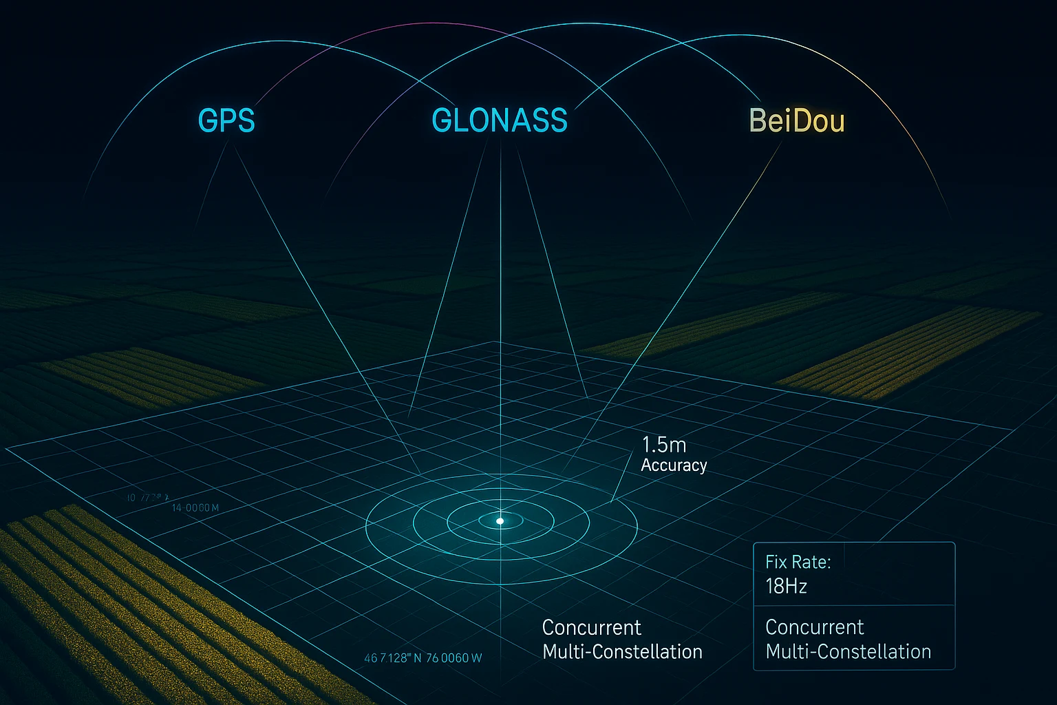
What does concurrent multi-constellation GNSS mean in practice? Standard GPS modules receive signals only from the American GPS satellite network. The MultiNav Pro+ receives signals simultaneously from four independent satellite constellations:
- GPS — United States Global Positioning System (31 satellites)
- GLONASS — Russian Global Navigation Satellite System (24 satellites)
- Galileo — European Union constellation (30 satellites)
- BeiDou — Chinese BeiDou Navigation Satellite System (35+ satellites)
Receiving from all four constellations at once means the module has access to a vastly larger pool of satellites at any moment. In open-sky agricultural environments this translates directly to faster fix acquisition and more consistent 1.5-meter accuracy. In partially obstructed environments — near tree lines, in valleys, or when operating at low angles — multi-constellation dramatically reduces the frequency of signal dropout.
For an agricultural operation running early-morning or late-evening missions, or operating near windbreaks and hedgerows, this matters enormously.
18Hz Fix Rate: Why Update Rate Is as Important as Accuracy
Most people shopping for a precision agriculture GPS module focus entirely on accuracy and overlook fix rate. That is a mistake.
Fix rate — measured in Hz — is how many times per second the module delivers a new position. A 1Hz module delivers one position update per second. At an agricultural drone speed of 10 m/s (36 km/h), that means the flight controller receives a new position every 10 meters traveled. The drone is flying blind in between updates, relying entirely on inertial sensors to dead-reckon its position.
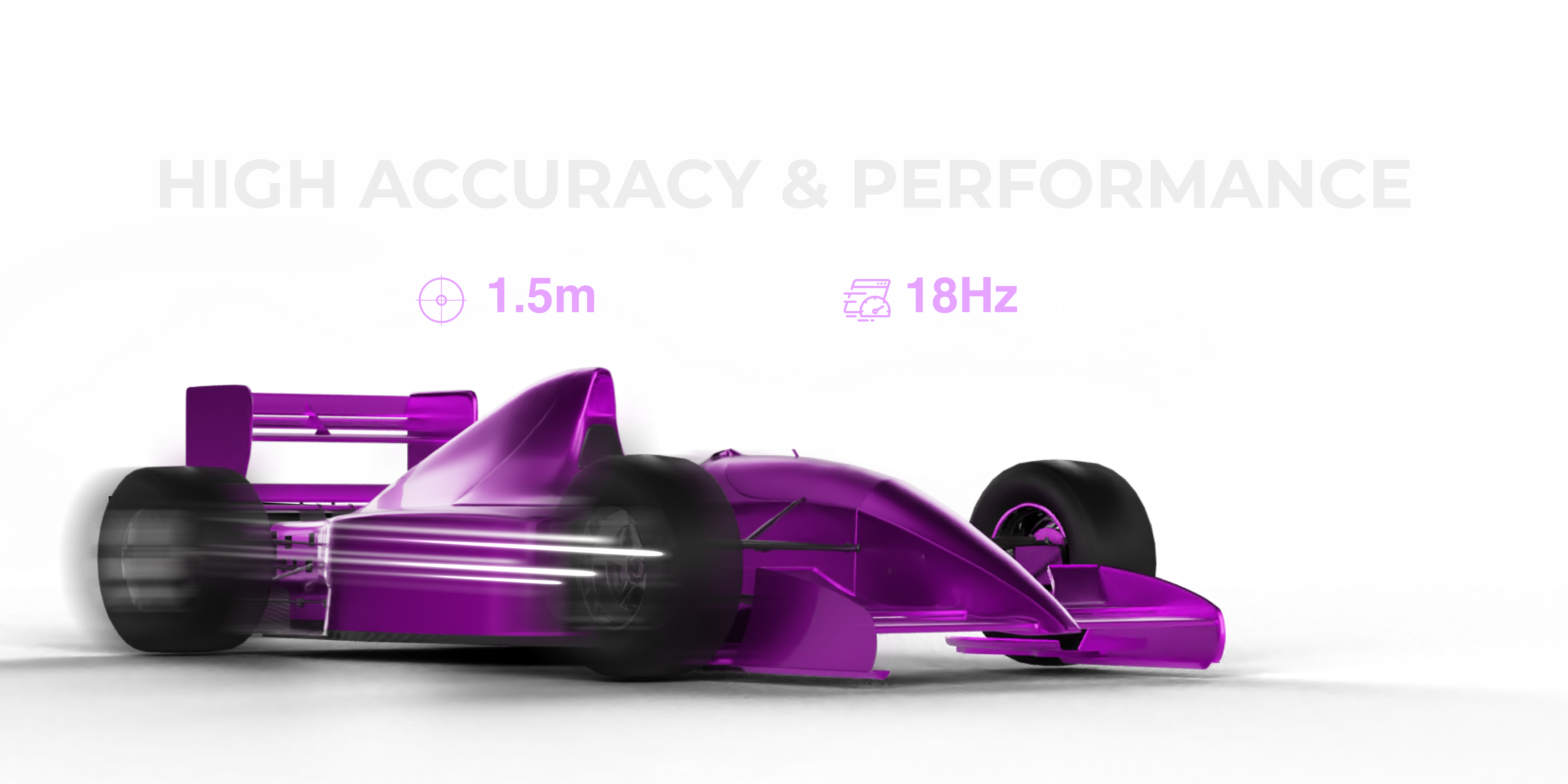
The MultiNav Pro+ delivers up to 18 position updates per second. At that same 10 m/s drone speed, the flight controller is receiving a new GPS-confirmed position every 0.55 meters of travel. The difference in flight path accuracy, mapping resolution, and waypoint tracking performance is not subtle — it is the difference between a usable mapping mission and a dataset full of positional error.
The module also achieves first fix in under one second from cold start. For field operations where you want to power up and fly without waiting, this is a significant operational advantage. Competing modules at similar price points often require 20 to 30 seconds to achieve first fix, adding delays to every deployment.
Compact, Efficient, and Ready for Embedded Integration
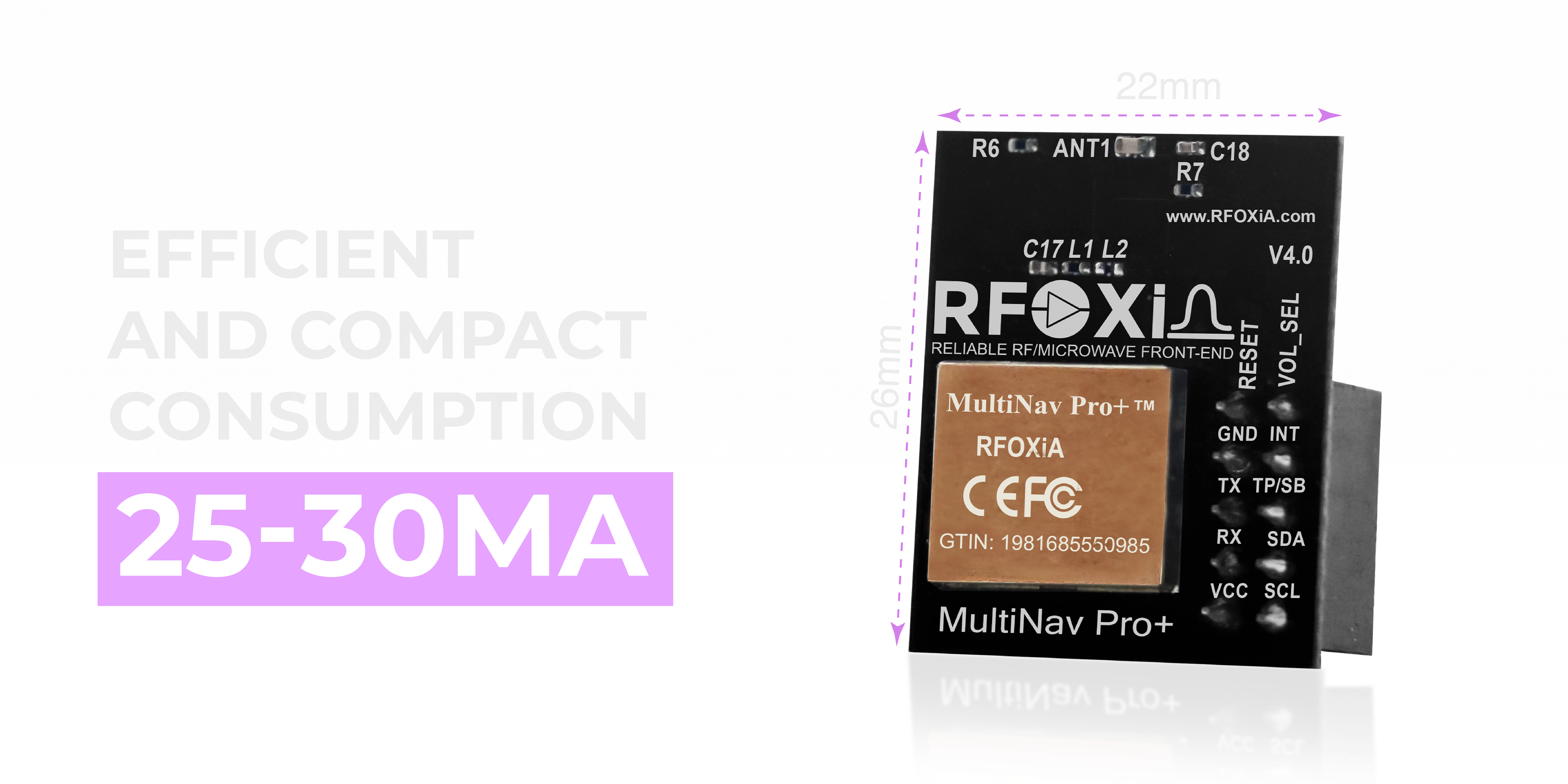
At 26mm × 22mm, the MultiNav Pro+ is genuinely compact. For drone builders this matters because every gram of payload reduces flight time and every cubic centimeter of PCB space is contested by ESCs, flight controllers, cameras, and communication modules. The MultiNav Pro+ fits onto small-frame drones and still leaves room for the rest of the electronics stack.
Power consumption is 25 to 30mA during active tracking — modest enough for battery-powered IoT sensor nodes running on small LiPo cells or supercapacitor power systems. When paired with RFOXiA's Power/Program Kit (supercapacitor-based, 5-minute charge, 24-hour runtime), the complete location-tracking module stack can run for an entire field operation day without interruption.
For agricultural IoT deployments — fixed soil monitoring nodes, weather stations, water flow monitors — this power profile makes solar-plus-supercapacitor permanent installations entirely practical.
Versatile Connectivity: UART and I2C on 1.8V and 3.3V Logic
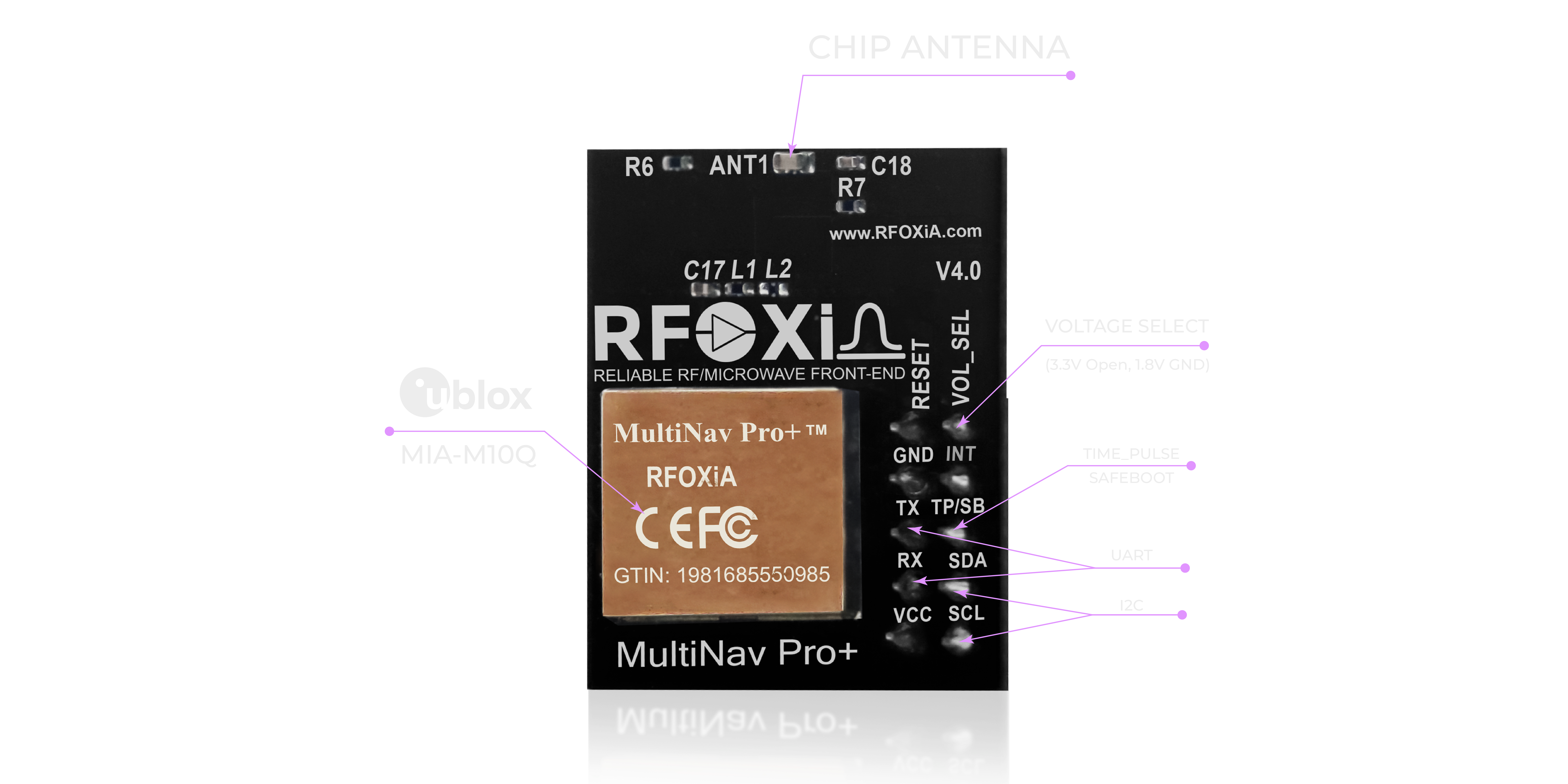
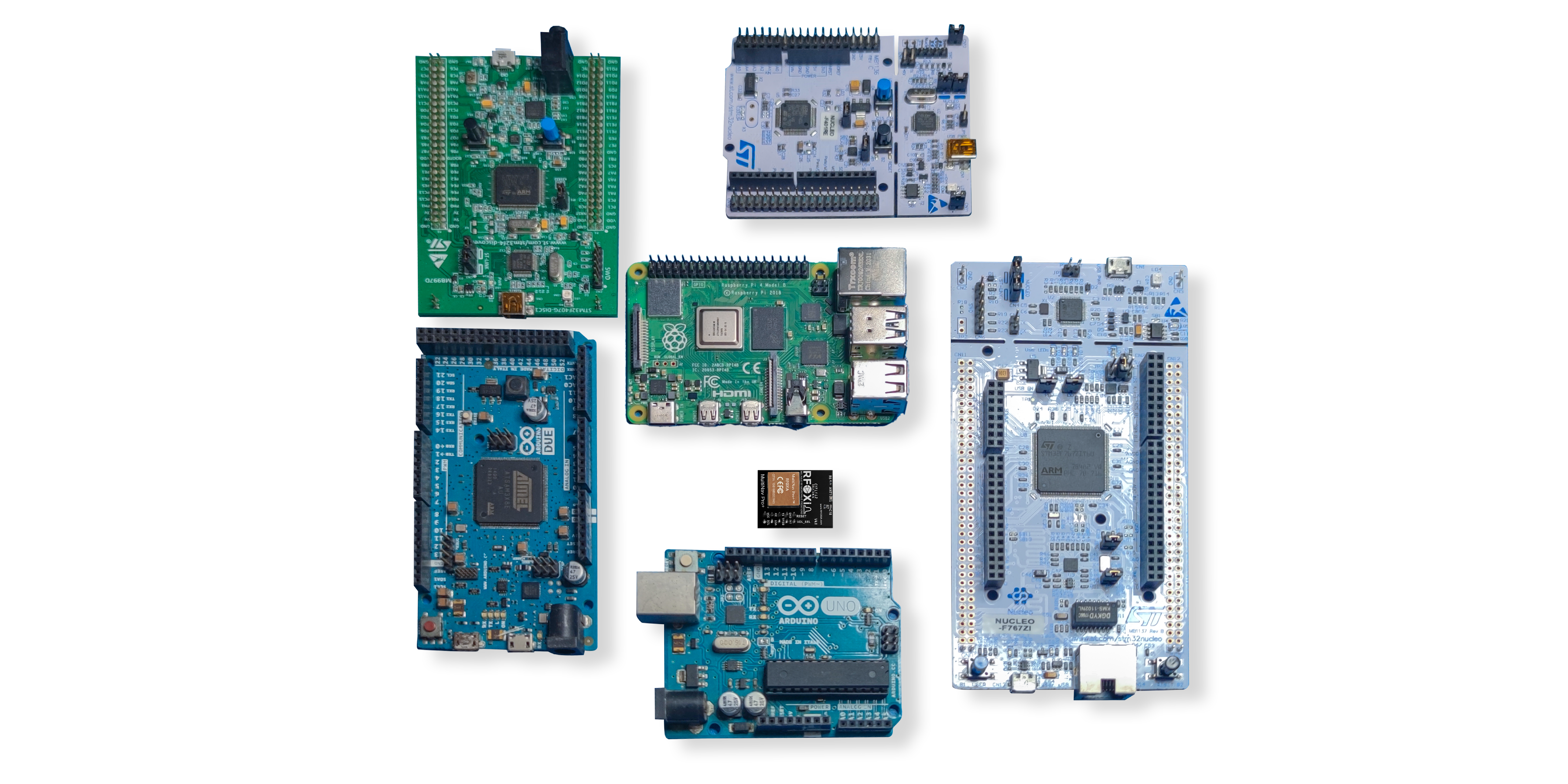
The MultiNav Pro+ supports two industry-standard serial interfaces: UART (TX/RX) and I2C (SCL/SDA). This covers virtually every microcontroller and embedded computing platform in use today, including:
- STM32 series microcontrollers
- ESP32 and ESP8266
- Arduino Uno, Mega, and Nano
- Raspberry Pi (via I2C or UART header)
- BeagleBone
- Teensy series
- Nordic nRF52840 and nRF9160
- Any flight controller running ArduPilot or Betaflight with a free serial port
Logic voltage support covers both 1.8V and 3.3V — eliminating the need for level shifters when interfacing with modern low-voltage microcontrollers. This saves board space, reduces component count, and simplifies PCB design.
For teams integrating GNSS into a larger agricultural IoT platform or drone autopilot system, this flexibility means the MultiNav Pro+ slots in without hardware modification. You connect TX/RX or SCL/SDA, power it up, and you are receiving NMEA sentences within seconds.
Open-Source Driver: Full NMEA Library for Arduino and Any IDE
Hardware is only half of the story. The other half is how long it takes you to go from "module in hand" to "working application."
The MultiNav Pro+ ships with a fully open-source C language driver library that implements the NMEA standard protocol commands. NMEA 0183 is the universal language of GPS data — sentences like $GPGGA (position and fix data), $GPRMC (recommended minimum navigation data), $GPGSV (satellite visibility) — parsed and ready for your application logic.
The library is structured for direct import into Arduino IDE through the standard library manager, and is compatible with any C/C++ toolchain including PlatformIO, STM32CubeIDE, ESP-IDF, and Keil MDK. You do not need to understand the GNSS protocol internals to get started — the library handles parsing, checksum validation, and coordinate conversion so you can focus on your application.
The library is available on GitHub and is maintained by RFOXiA as an open-source project, meaning you can fork it, modify it, and contribute improvements back to the community. For research institutions and agri-tech companies building proprietary applications, open-source drivers mean full auditability of the data pipeline — you know exactly how coordinates are being derived and formatted.
U-Center Software: Professional Evaluation and Configuration
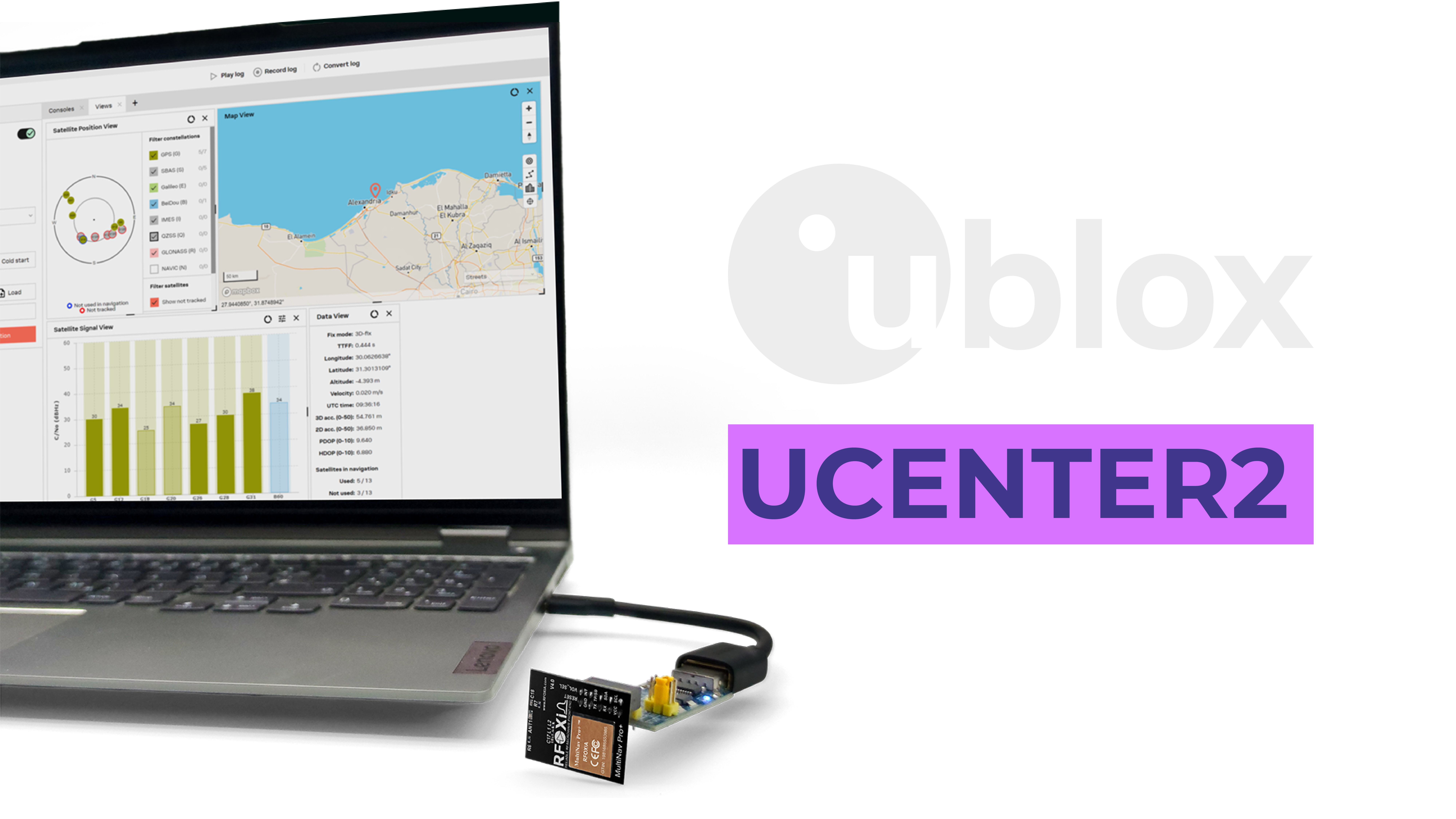
Because the MultiNav Pro+ is built on the u-blox MIA-M10Q, it is fully compatible with u-blox's U-Center software — the industry-standard GUI tool for GNSS evaluation, configuration, and diagnostics.
U-Center gives you:
- Sky view — visualize exactly which satellites the module can see, their signal strength, and their elevation angles
- Position tracking — see your path plotted in real time on an integrated map
- Constellation configuration — enable or disable specific constellations for testing or regulatory compliance
- NMEA message configuration — select exactly which output messages you need, and at what rate
- Logging — record raw GNSS data for post-processing or accuracy analysis
- Firmware update — keep the u-blox chip firmware current as u-blox releases improvements
For agricultural drone operators doing pre-flight checks, for researchers validating accuracy against a known reference point, and for hardware developers debugging integration issues, U-Center is an invaluable tool. The fact that it is fully supported by the MultiNav Pro+ at the $49 price point is a significant advantage over competitor modules using proprietary chips with no equivalent evaluation software.
Use Cases: Where the MultiNav Pro+ Delivers Real Value

The MultiNav Pro+ is purpose-built for demanding applications across multiple sectors:
Precision Agriculture Drone Mapping
Fixed-wing and multirotor agricultural drones use GNSS for waypoint navigation, ground sampling distance calculation, and geotagging of aerial imagery. The 18Hz fix rate and 1.5-meter accuracy of the MultiNav Pro+ enable clean, tight flight lines and georeferenced imagery accurate enough for NDVI analysis and yield prediction mapping.
Precision Agriculture Soil and Crop Monitoring Nodes
Permanent or semi-permanent IoT sensor nodes deployed across a field need to report their exact location along with their sensor readings. The MultiNav Pro+ paired with RFOXiA's Sensors Module (temperature, humidity, air pressure, air quality, accelerometer, gyroscope, magnetometer) and BLE Module creates a complete mobile or fixed monitoring node that streams verified location-stamped environmental data.
Variable Rate Application Systems
Tractor-mounted controllers for variable rate fertilizer, herbicide, or seed application require continuous, accurate position to look up the correct application rate from a prescription map. The MultiNav Pro+ provides the positional data stream that feeds this lookup, with sub-1.5-meter accuracy sufficient for row-level precision.
FPV and Racing Drones
For FPV pilots who want GPS-assisted modes — position hold, return-to-home, rescue mode — the 18Hz update rate of the MultiNav Pro+ is the fastest available at this price point. Standard GPS modules at 1Hz or 5Hz produce sluggish GPS-assisted flight. At 18Hz the module can keep up with aggressive FPV flying styles.
Research and Robotics
University agricultural engineering departments, robotics research labs, and independent researchers building autonomous ground vehicles or UAVs need a module that can be fully characterized and validated. The combination of u-blox hardware, U-Center software, NMEA standard output, and open-source drivers makes the MultiNav Pro+ fully auditable from silicon to software.
Asset Tracking
Livestock tracking collars, equipment location beacons, and mobile agricultural asset trackers benefit from the MultiNav Pro+'s fast first fix, low power consumption, and compact form factor.
The RFOXiA Ecosystem Advantage
The MultiNav Pro+ is designed to operate as a standalone precision agriculture GPS module — but it is also a first-class citizen of the complete RFOXiA ecosystem.
Paired with the RFOXiA BLE Module (5km ground range, 15-20km man-to-drone, FCC certified), location data from the MultiNav Pro+ can be streamed wirelessly over long distances without any internet infrastructure. A drone carrying the GNSS module and BLE module streams its precise position to the operator's phone at ground level in real time — up to 20km away.
The RFOXiA Connect App displays live GPS position on a map, updated at the module's full fix rate. You see where your drone, robot, or sensor node is in real time on your phone screen, with the map updating as fast as the GNSS module delivers positions.
If you pair the GNSS module with the Sensors Module, you have a complete mobile environmental monitoring platform: precise location plus temperature, humidity, air pressure, air quality, and IMU data, all streaming live. For agricultural researchers this is a powerful combination — you can characterize micro-climate variability across a field in a single drone pass.
The Developer Bundle ($199 with credits) combines all four modules — BLE, GNSS, Sensors, and Power/Program Kit — into a single integrated package. For serious agricultural technology developers building prototypes or products, the Developer Bundle eliminates the component sourcing problem and gives you a complete, FCC-certified, open-source wireless platform from day one.
Explore the full module lineup and get started at the RFOXiA Accurate GNSS Module page.
Technical Specifications Summary
| Parameter | Specification |
|---|---|
| GNSS Chip | u-blox MIA-M10Q |
| Accuracy | < 1.5 meters (CEP) |
| Fix Rate | Up to 18Hz |
| First Fix | < 1 second |
| Constellations | GPS, GLONASS, Galileo, BeiDou (concurrent) |
| Interface | UART (TX/RX) + I2C (SCL/SDA) |
| Logic Voltage | 1.8V and 3.3V |
| Current Draw | 25–30mA (active tracking) |
| Dimensions | 26mm × 22mm |
| Antenna | Integrated chip antenna |
| Protocol | NMEA 0183 standard |
| Software | U-Center compatible, open-source C library |
| Certification | FCC certified |
| Price | $49 |
Frequently Asked Questions
Does the MultiNav Pro+ require an external antenna? No. The module features an integrated chip antenna designed for optimal signal reception without adding external hardware. For applications requiring maximum sensitivity in challenging environments, the PCB design accommodates an optional external LNA or patch antenna.
Is the MultiNav Pro+ compatible with ArduPilot and PX4? Yes. Both ArduPilot and PX4 support NMEA GPS inputs over UART. Configure your flight controller's serial port to the appropriate baud rate, connect TX/RX, and the MultiNav Pro+ is recognized as a standard GPS input.
Can I use this module with a Raspberry Pi? Yes. Connect via I2C using the standard Pi GPIO header, or via UART through the Pi's serial port (with hardware serial enabled). The Python smbus library handles I2C communication, and pyserial handles UART — both well-documented in the RFOXiA Dev Hub.
What is the update rate at lower power modes? The 18Hz fix rate is the maximum performance mode. The module can be configured through U-Center or NMEA configuration commands to lower fix rates (1Hz, 5Hz, 10Hz) to reduce power consumption for battery-sensitive applications.
Does the module support RTCM correction input for higher accuracy? The MIA-M10Q supports RTCM input for RTK-assisted correction. In areas with available NTRIP correction services, this can improve accuracy to the centimeter level.
Why the MultiNav Pro+ Is the Right Precision Agriculture GPS Module at This Price
At $49, the MultiNav Pro+ occupies a market position that did not exist before RFOXiA created it. Professional-grade GNSS modules with 1.5-meter accuracy and 18Hz fix rates from established suppliers cost $150 to $400 or more. Commodity modules at $5 to $15 deliver 3 to 5 meter accuracy at 1Hz — unusable for most precision agriculture applications.
The MultiNav Pro+ is the precision agriculture GPS module that independent developers, agri-tech startups, research institutions, and hardware builders have needed: u-blox hardware quality, multi-constellation performance, professional software support, FCC certification, and open-source drivers — for $49, in stock, ready to ship.
If you are building anything that needs to know precisely where it is, on a budget that reflects the reality of hardware development rather than the pricing power of industrial distributors, the MultiNav Pro+ is where that search ends.
Ready to add professional GNSS to your next project? Visit the RFOXiA Accurate GNSS Module page to order, download the datasheet, and access the open-source driver library.
Join the RFOXiA Club for free and claim your $10 welcome credit toward your first order — link in bio.
Written by: Moamen Mohamed LinkedIn