
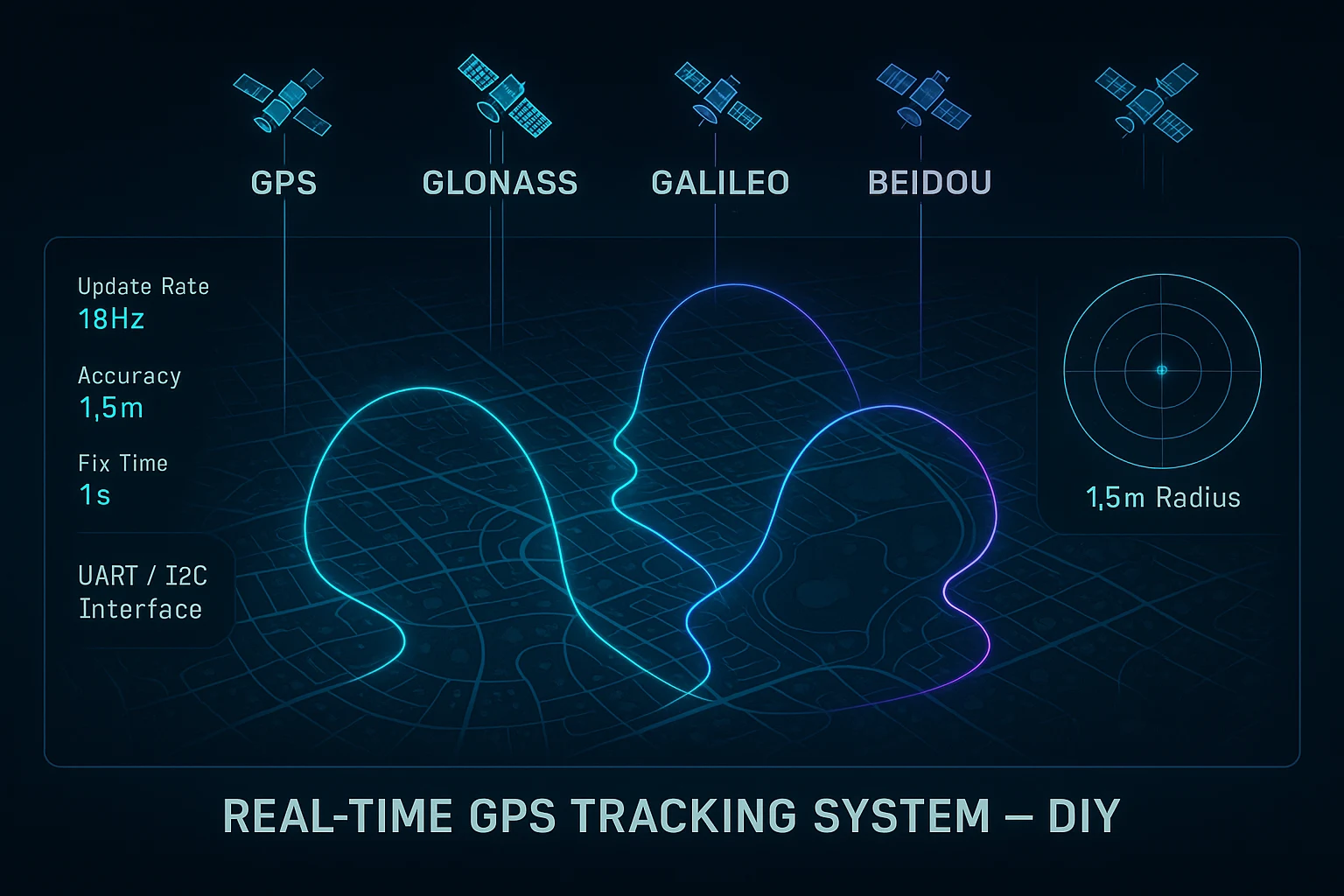
Real Time GPS Tracking System DIY: Everything You Need to Know
Build Your Own Real Time GPS Tracking System DIY with Professional-Grade Hardware
If you have ever tried to build a real time GPS tracking system DIY project, you already know the frustration. You order a cheap GPS module online, wire it up, and discover the update rate is 1Hz — one position fix per second. For a drone moving at 60km/h, that single second of latency means your position data is already 16 meters behind reality before it even arrives at your microcontroller. For a ground vehicle doing 30km/h, you are still looking at 8 meters of position lag per update cycle. That is not navigation. That is guesswork.
The problem is not ambition — builders, engineers, and researchers clearly want to create high-quality GPS tracking systems. The problem has always been the hardware available at maker-accessible prices. Cheap modules trade accuracy and update rate for cost. Professional modules trade accessibility for price tags that rival entire project budgets.
That gap is exactly what the RFOXiA Accurate GNSS Module — the MultiNav Pro+ — was designed to close.
Why Most DIY GPS Modules Fail the Real-Time Test
Before we dive into what the MultiNav Pro+ does differently, it is worth understanding precisely why so many GPS tracking DIY builds fall short of their goals.
The Update Rate Problem
Most commodity GPS modules available on maker marketplaces operate at 1Hz. Some manage 5Hz. A handful of mid-range modules reach 10Hz. For slow-moving applications — asset tracking on a delivery truck, monitoring a remote weather station — 1Hz is arguably acceptable. But the moment your tracked object starts moving with any speed or agility, 1Hz becomes a fundamental architectural flaw in your system.
Consider a racing drone mid-maneuver. At 80km/h through a tight turn, a 1Hz GPS module gives you one position per 22 meters of travel. Your flight controller is making thousands of decisions per second with position data that is perpetually stale. The result is degraded flight path accuracy, unreliable return-to-home behavior, and position hold that wanders rather than locks.
The Accuracy Problem
Standard GPS modules often advertise accuracy figures of 2.5 meters CEP — circular error probable. In practice, under multipath conditions, in partially obstructed environments, or when satellite geometry is suboptimal, real-world accuracy frequently degrades to 5-10 meters or worse. For applications like drone mapping, precision agriculture, or search-and-rescue coordinate sharing, that level of positional uncertainty renders the data nearly useless.
The Constellation Problem
Older and cheaper modules often support only GPS (the American system) or GPS plus GLONASS. The global navigation satellite landscape now includes GPS, GLONASS (Russian), Galileo (European), and BeiDou (Chinese). Each constellation adds more satellites overhead, improving geometry, redundancy, and fix reliability — especially in challenging environments like urban canyons, dense forests, or high-latitude regions where a single constellation may have poor sky coverage.
A module that can receive all four simultaneously does not just have more satellites to work with — it has a fundamentally more robust architecture.
MultiNav Pro+: The Professional Standard for DIY Builders
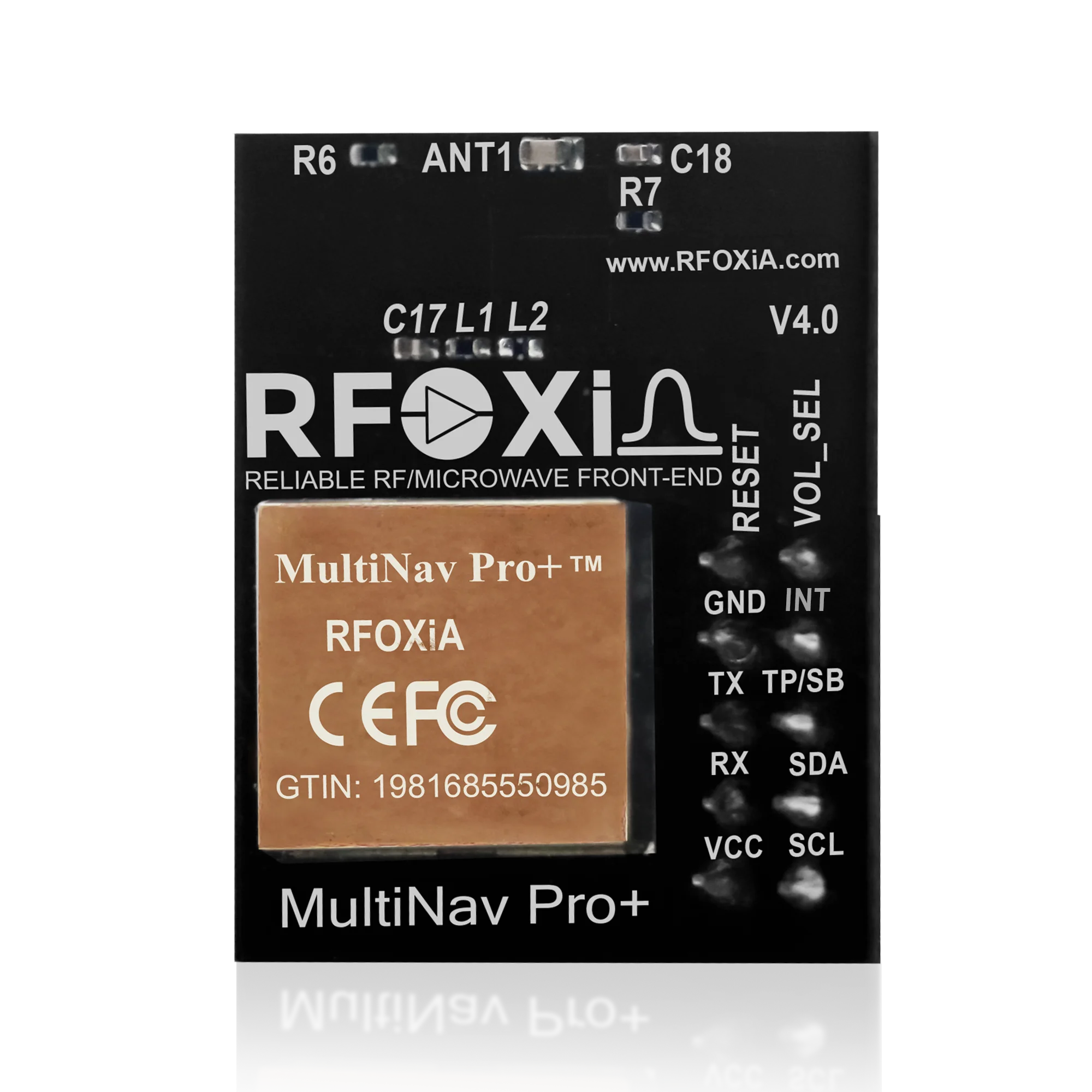
The MultiNav Pro+ is RFOXiA's answer to every limitation described above. It is not a rebranded commodity module. It is an engineered solution built on the u-blox MIA-M10Q — one of the most capable GNSS chips on the market — wrapped in a compact, maker-friendly form factor with an open-source software library and plug-and-play interface support.
The u-blox MIA-M10Q: What It Means for Your Project
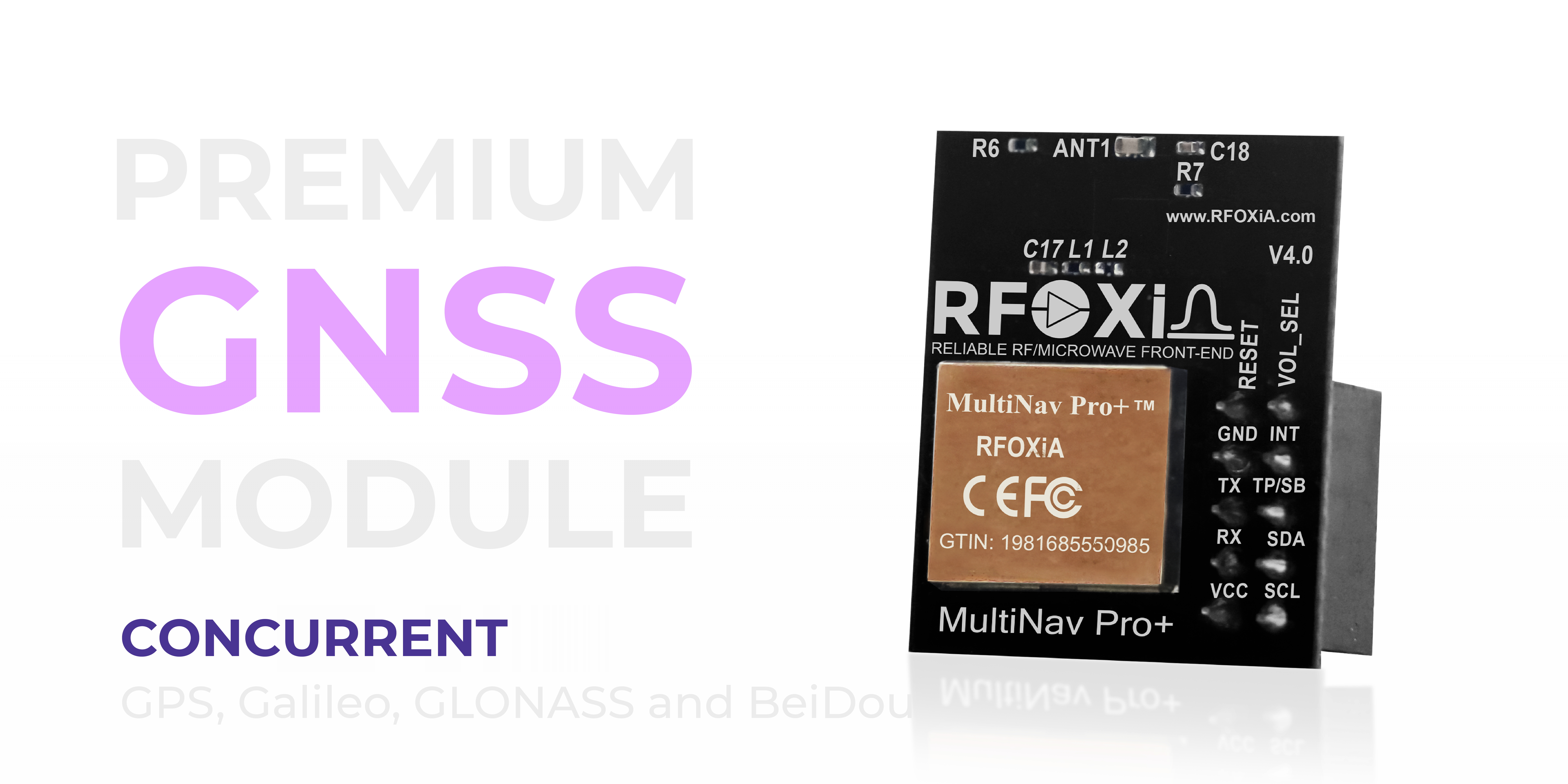
The MIA-M10Q is not a legacy chip. It is u-blox's latest-generation GNSS receiver, designed specifically for applications demanding high update rates, low power consumption, and multi-constellation performance in a minimal footprint. When RFOXiA selected this chip as the foundation for the MultiNav Pro+, the decision was deliberate: no compromises at the core of the module.
Specification Breakdown: The Numbers That Matter
1.5-Meter Accuracy — What It Actually Means
The MultiNav Pro+ achieves sub-1.5-meter CEP accuracy under nominal conditions. To put that in context: a standard commodity GPS module at 2.5m CEP means 50% of your position fixes land within a 2.5-meter radius of your true location. The MultiNav Pro+ tightens that circle to 1.5 meters — a 40% improvement in the best case, and significantly more meaningful in dynamic tracking scenarios where errors accumulate.
For a real time GPS tracking system DIY build, this is the difference between knowing your drone is near the waypoint and knowing it is at the waypoint.
18Hz Fix Rate — Real-Time Is Actually Real
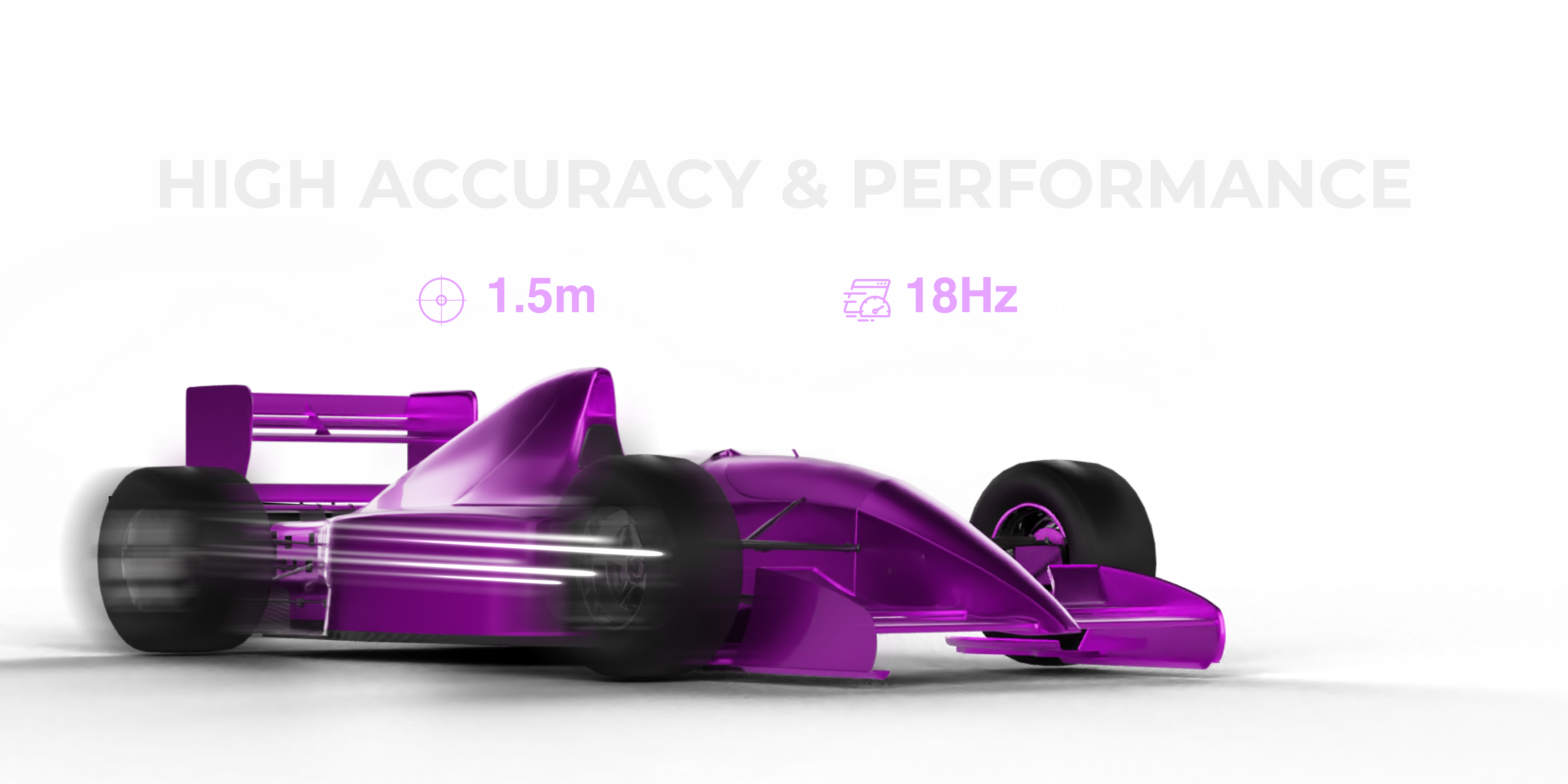
At 18 position fixes per second, the MultiNav Pro+ delivers position updates faster than most flight controllers' main loop frequency. This is not a specification that exists for marketing purposes — 18Hz means your GPS data is never more than 55 milliseconds old. For a drone at 80km/h, that is 1.2 meters of maximum position age per update cycle, compared to the 22 meters per cycle at 1Hz. The tracking fidelity at 18Hz is categorically different from anything achievable with standard modules.
First Fix in 1 Second
Cold start and hot start performance matters for field deployment. Waiting 30-60 seconds for a GPS fix while standing in an open field is one thing. Waiting while your drone is already armed and your team is watching is another. The MultiNav Pro+ achieves first fix in 1 second under hot start conditions, getting your system online and tracking before anyone has time to get impatient.
Concurrent Four-Constellation Reception
GPS, Galileo, GLONASS, and BeiDou — all four simultaneously. Under typical open-sky conditions, this gives the MultiNav Pro+ access to 20-30+ satellites at any time, compared to the 8-12 a single-constellation receiver might see. More satellites means better geometric dilution of precision (GDOP), which directly translates to improved fix accuracy and reliability.
Compact, Efficient, and Field-Ready
Professional capability is only useful if it fits in your project. The MultiNav Pro+ measures 26mm x 22mm — small enough to integrate into custom drone frames, wearable tracking devices, compact IoT nodes, and handheld instruments without demanding special accommodation.
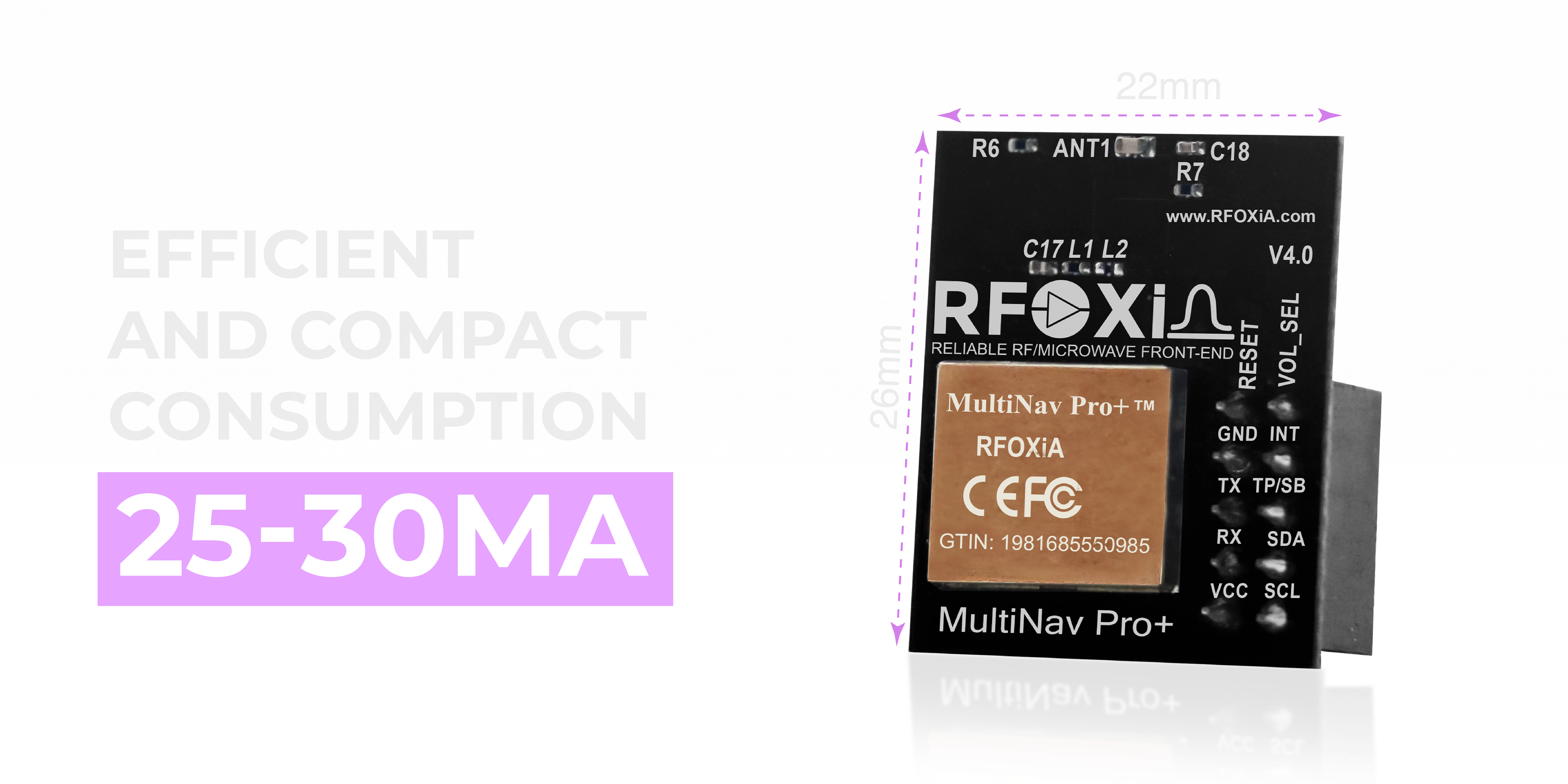
Power consumption runs at 25-30mA during active tracking — efficient enough for battery-powered deployments where runtime matters. The integrated chip antenna eliminates the need for external antenna components, cable routing, or additional mounting hardware. The module arrives complete and ready to connect.
Interface and Integration: Designed for Real Builders
A GPS module that requires an advanced degree to integrate is not a maker-friendly product. The MultiNav Pro+ supports both UART (TX/RX) and I2C (SCL/SDA) interfaces, covering the two most common communication protocols in embedded systems development. Whether you are using a Raspberry Pi, an Arduino, an STM32, an ESP32, or a custom PCB, the MultiNav Pro+ speaks your board's language.
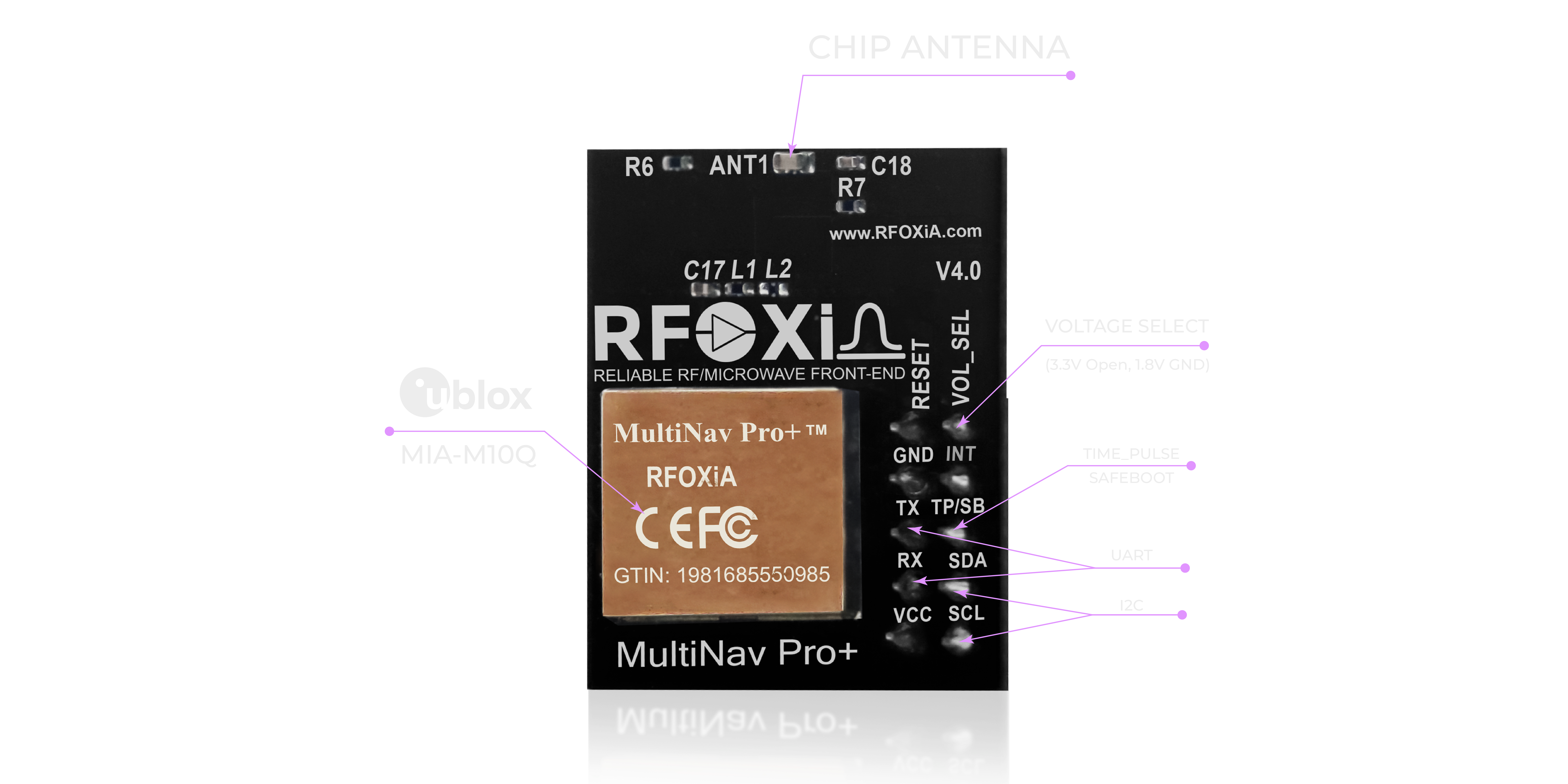
Voltage compatibility extends to both 1.8V and 3.3V logic levels, eliminating the level-shifting headaches that complicate integration with newer low-voltage microcontrollers. Connecting this module to your project should take minutes, not days.
Open-Source Driver: Your Data, Your Code
The MultiNav Pro+ ships with a fully open-source C language library that implements the NMEA standard protocol commands. NMEA is the universal language of GPS data — a standard format understood by virtually every GPS-capable software tool, from custom firmware to mapping applications to data logging pipelines.
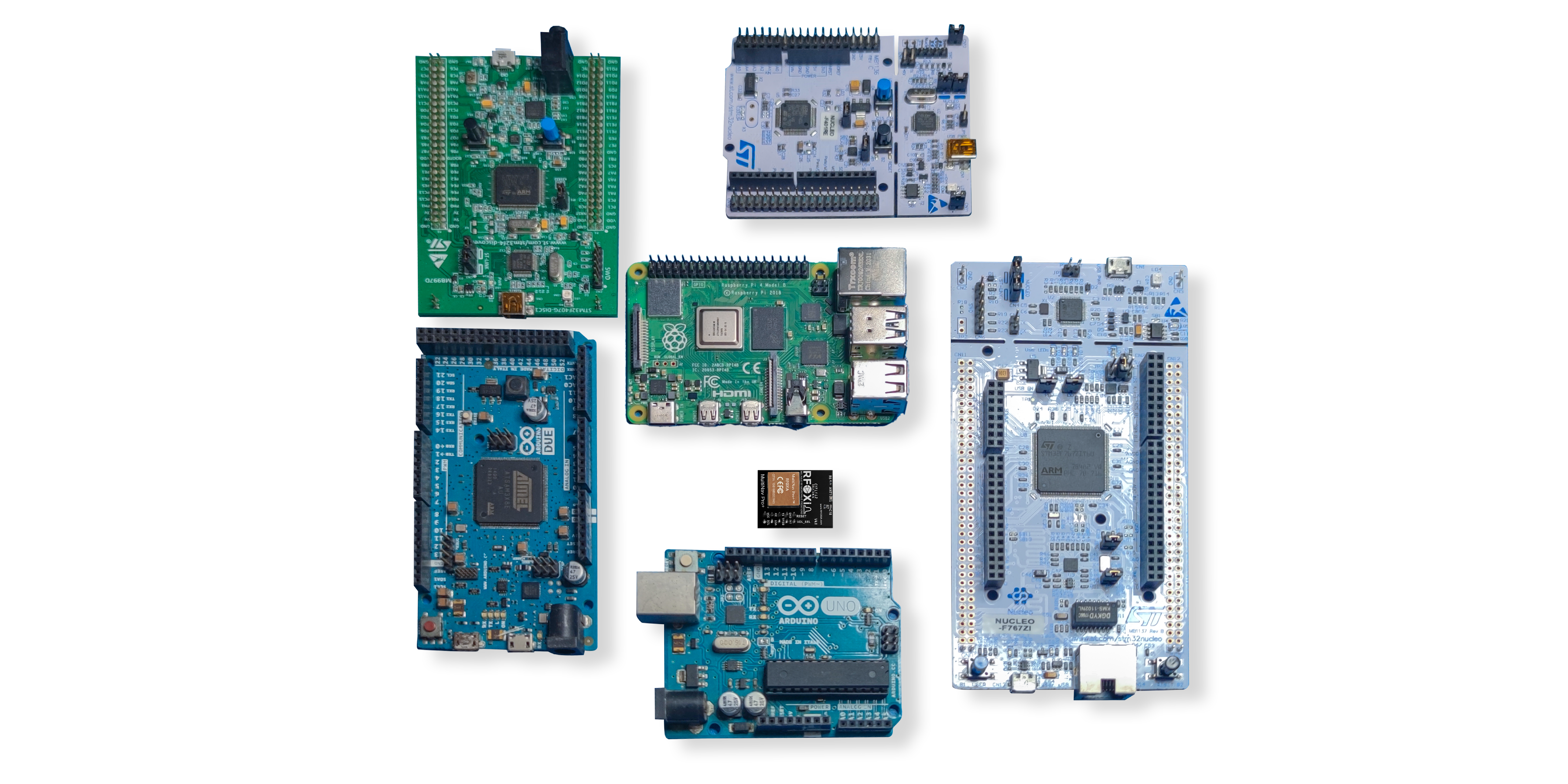
The library is importable directly into Arduino IDE and compatible with any toolchain that supports C. For builders who want to skip the low-level work and get straight to application development, this means your real time GPS tracking system DIY project can have working GPS data parsed and displayed within an afternoon of starting. No proprietary SDK. No license fees. No black boxes. Full source access, full customization freedom.
This is what RFOXiA means by democratizing technology — not just building hardware at accessible prices, but ensuring the software ecosystem surrounding that hardware is equally open and approachable.
U-Center Software: Visualize, Configure, Validate
For builders who want to go deeper — validate performance, tune configuration parameters, visualize satellite geometry, or log raw data — the MultiNav Pro+ is fully compatible with u-blox's U-Center software.
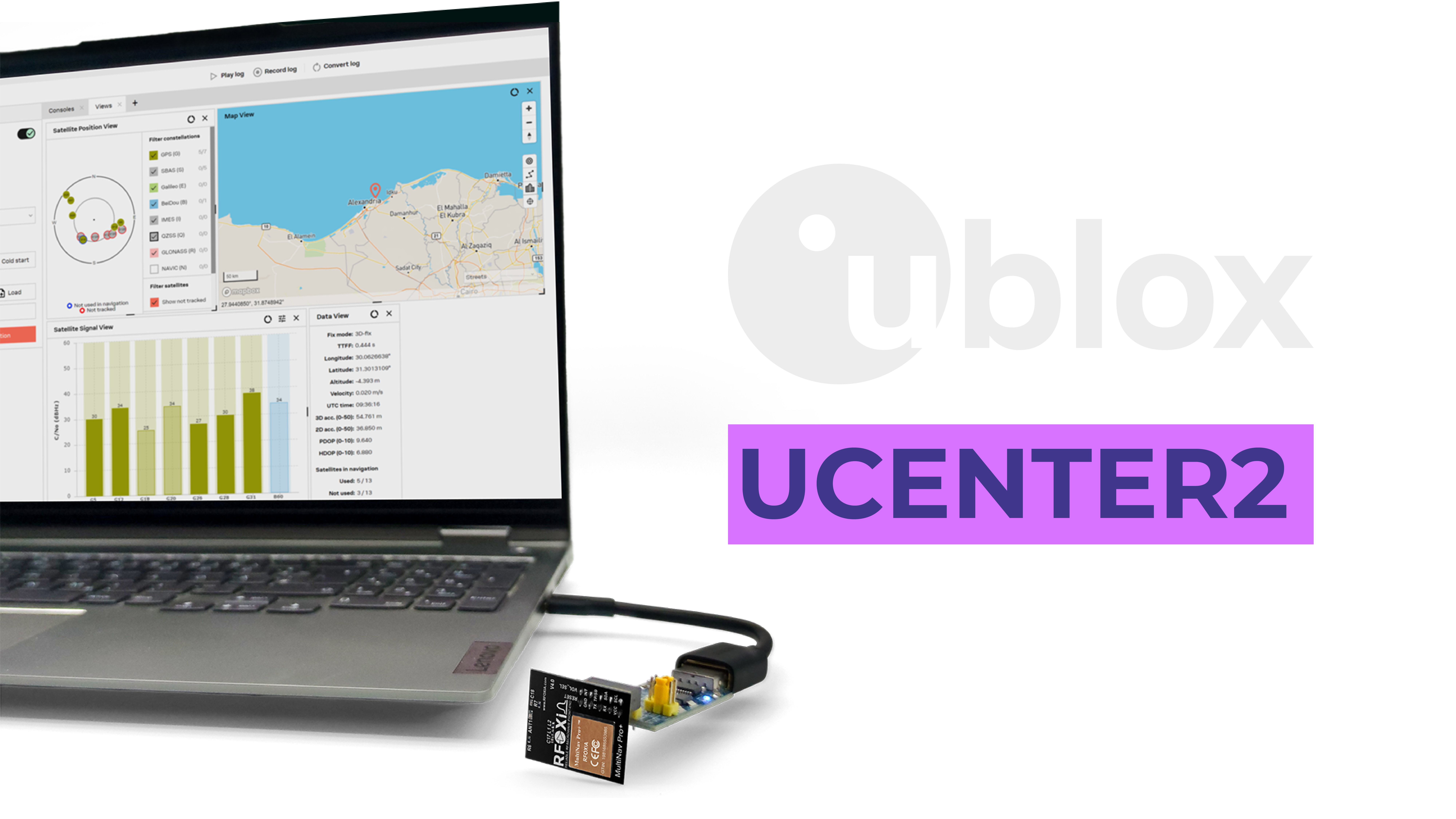
U-Center provides a professional graphical interface for satellite sky view, signal strength bars, fix quality indicators, position tracking maps, and raw data logging. It is the professional diagnostic tool for u-blox-based modules, and having full access to it means you are never guessing about your module's performance — you are reading it directly from the hardware.
For researchers, engineers, and developers who need to validate their tracking system's performance before deployment, U-Center turns the MultiNav Pro+ from a blind component into a fully observable system.
Building a Real Time GPS Tracking System DIY: Practical Approaches
The MultiNav Pro+ is specifications on paper until you connect it to a project. Here are the primary application architectures where it delivers standout performance.
Drone Tracking and Navigation
The 18Hz fix rate was built for this. Pair the MultiNav Pro+ with a flight controller over UART, configure it for 18Hz output, and your autopilot has position data that is genuinely real-time. Combined with the RFOXiA Accurate GNSS Module and the RFOXiA BLE module for long-range telemetry, you have the foundation of a complete drone tracking system — position at 1.5m accuracy, transmitted over distances up to 15-20km man-to-drone.
Ground Vehicle and Asset Tracking
For vehicles, equipment, or personnel tracking, the MultiNav Pro+ provides the positional resolution to distinguish between adjacent lanes, adjacent parking spots, or adjacent paths through a building complex. At $49, deploying multiple nodes across a fleet or field operation is financially practical in a way that professional-grade GNSS hardware has never been before.
IoT Environmental Monitoring with Location Verification
When combined with the RFOXiA Sensors Module (temperature, humidity, pressure, air quality, accelerometer, gyroscope, magnetometer), the MultiNav Pro+ adds GPS-verified location to environmental sensor data. This is the architecture RFOXiA uses in its data network — GPS coordinates validate that sensors are deployed outdoors and at declared locations, making the data valuable and trustworthy to enterprise buyers.
Research and Survey Applications
For academic researchers, environmental scientists, and survey professionals who need high-frequency position logging, the 18Hz fix rate enables data collection that captures rapid movement and transient events that 1Hz or 5Hz systems simply miss. The open-source library makes data pipeline integration straightforward.

The RFOXiA Ecosystem: More Than a Module
The MultiNav Pro+ is one component in a vertically integrated wireless development platform. RFOXiA designs its products to work together, and the GNSS module is purpose-built to slot into the full ecosystem.
Complete ecosystem stack:
- MultiNav Pro+ GNSS Module — precision location at 18Hz
- BLE Module — 5km ground-to-ground, 15-20km man-to-drone long-range wireless
- Sensors Module — 7 environmental sensors in one board
- Power/Program Kit — 5-minute charge, 24-hour runtime on supercapacitor technology
- RFOXiA Connect App — live GPS map, sensor data display, drone/robot control, internet-independent
- AI Firmware Builder — describe your application, receive production-ready firmware
- Data Network — earn daily rewards for contributing verified environmental data
Every component is FCC certified. Every component is in stock and ships today.
The Developer Bundle packages all four hardware modules together at $199 after credits — the most complete maker GPS and wireless development kit available at this price point, anywhere.
Why FCC Certification Matters for Your Project
For commercial applications, professional deployments, or any project that might eventually move from prototype to product, FCC certification is not optional — it is the legal baseline for selling or operating wireless devices in the United States. Many makers discover this late in their development cycle and face expensive recertification of their end product.
Building your real time GPS tracking system DIY on an FCC-certified module means you are starting from a legally compliant RF foundation. If your project matures into a commercial product, that certification history matters.
Specifications Reference
| Parameter | Specification |
|---|---|
| GNSS Chip | u-blox MIA-M10Q |
| Accuracy | < 1.5m CEP |
| Fix Rate | Up to 18Hz |
| First Fix | 1 second (hot start) |
| Constellations | GPS, Galileo, GLONASS, BeiDou (concurrent) |
| Interface | UART (TX/RX) and I2C (SCL/SDA) |
| Voltage | 1.8V and 3.3V |
| Power Consumption | 25-30mA |
| Dimensions | 26mm x 22mm |
| Antenna | Integrated chip antenna |
| Software | Open-source C library, NMEA protocol, Arduino IDE compatible |
| Certification | FCC certified |
| Price | $49 |
Ready to Build Your Real Time GPS Tracking System DIY?
Every builder who has ever settled for a 1Hz GPS module that barely held a fix knows the gap between what they imagined and what commodity hardware delivered. The MultiNav Pro+ exists to close that gap — not by moving the price up to where professionals have always lived, but by moving the performance down to where builders actually work.
1.5-meter accuracy. 18Hz updates. Four concurrent constellations. Open-source drivers. FCC certified. $49.
This is not a compromise. This is the module your projects have been waiting for.
Get the MultiNav Pro+ GNSS Module from RFOXiA and start building the real time GPS tracking system DIY project you have been designing in your head — with hardware that will actually keep up with it.
The MultiNav Pro+ is available individually or as part of the RFOXiA Developer Bundle, which includes the GNSS module, long-range BLE module, 7-sensor environmental module, and supercapacitor power kit — everything needed to build a complete wireless tracking and sensing system.
Written by: Moamen Mohamed LinkedIn